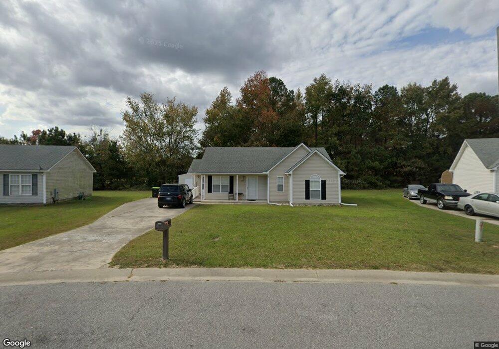
232 Katie Dr Rocky Mount, NC 27803
Estimated Value: $170,000 - $191,000
3
Beds
2
Baths
1,041
Sq Ft
$172/Sq Ft
Est. Value
About This Home
This home is located at 232 Katie Dr, Rocky Mount, NC 27803 and is currently estimated at $179,333, approximately $172 per square foot. 232 Katie Dr is a home located in Edgecombe County with nearby schools including G.W. Bulluck Elementary School, West Edgecombe Middle School, and Southwest Edgecombe High School.
Ownership History
Date
Name
Owned For
Owner Type
Purchase Details
Closed on
Aug 22, 2007
Sold by
Wm Specialty Mortage Llc
Bought by
Thomas Richard L and Thomas Lillian M
Current Estimated Value
Home Financials for this Owner
Home Financials are based on the most recent Mortgage that was taken out on this home.
Original Mortgage
$62,000
Outstanding Balance
$38,671
Interest Rate
6.55%
Mortgage Type
New Conventional
Estimated Equity
$140,662
Purchase Details
Closed on
Jan 26, 2007
Sold by
Wm Speciaty Mortgage Llc
Bought by
Powell Timothy and Powell Latasha
Purchase Details
Closed on
Dec 5, 2006
Sold by
Powell Timothy and Powell Latasha
Bought by
Wm Specialty Mortgage Llc
Create a Home Valuation Report for This Property
The Home Valuation Report is an in-depth analysis detailing your home's value as well as a comparison with similar homes in the area
Home Values in the Area
Average Home Value in this Area
Purchase History
| Date | Buyer | Sale Price | Title Company |
|---|---|---|---|
| Thomas Richard L | $62,000 | None Available | |
| Powell Timothy | -- | None Available | |
| Wm Specialty Mortgage Llc | $91,500 | None Available |
Source: Public Records
Mortgage History
| Date | Status | Borrower | Loan Amount |
|---|---|---|---|
| Open | Thomas Richard L | $62,000 |
Source: Public Records
Tax History
| Year | Tax Paid | Tax Assessment Tax Assessment Total Assessment is a certain percentage of the fair market value that is determined by local assessors to be the total taxable value of land and additions on the property. | Land | Improvement |
|---|---|---|---|---|
| 2025 | $2,069 | $0 | $0 | $0 |
| 2024 | $2,069 | $0 | $0 | $0 |
| 2023 | $1,226 | $0 | $0 | $0 |
| 2022 | $1,071 | $0 | $0 | $0 |
| 2021 | $1,071 | $0 | $0 | $0 |
| 2020 | $990 | $0 | $0 | $0 |
| 2019 | $990 | $0 | $0 | $0 |
| 2018 | $990 | $0 | $0 | $0 |
| 2017 | $99,049 | $0 | $0 | $0 |
| 2016 | $1,488 | $0 | $0 | $0 |
| 2015 | $148,753 | $0 | $0 | $0 |
| 2014 | $143,640 | $0 | $0 | $0 |
Source: Public Records
Map
Nearby Homes
- 204 Katie Dr
- 453 Kasey Cir
- 4040 S Hathaway Blvd
- 521 S Railroad St
- 625 Speight Dr
- 804 Mill Branch Rd
- 804 Speight Dr
- 204 Oak Forest Dr NW
- 2808 S Wesleyan Blvd
- 00 Town Creek Rd
- 4001 Arlington St
- 7643 Jordan Rd
- 8498 W Tarboro Rd Unit LotWP001
- 8498 W Tarboro Rd
- 7624 Jordan Rd
- Off of W Tarboro Rd Unit LotWP002
- 168 Daughtridge Farm Rd
- 199 Rainbow Trail
- 7554 Michelle Rd
- 7507 Michelle Rd
Your Personal Tour Guide
Ask me questions while you tour the home.