232 Lakeside Rd Hanson, MA 02341
Estimated Value: $477,000 - $611,000
2
Beds
3
Baths
1,418
Sq Ft
$379/Sq Ft
Est. Value
About This Home
This home is located at 232 Lakeside Rd, Hanson, MA 02341 and is currently estimated at $537,157, approximately $378 per square foot. 232 Lakeside Rd is a home located in Plymouth County.
Ownership History
Date
Name
Owned For
Owner Type
Purchase Details
Closed on
Mar 2, 2018
Sold by
Beeley Carolyn M
Bought by
Dragon Carolyn A and Beeley Zachary D
Current Estimated Value
Home Financials for this Owner
Home Financials are based on the most recent Mortgage that was taken out on this home.
Original Mortgage
$260,000
Outstanding Balance
$220,976
Interest Rate
4.04%
Mortgage Type
New Conventional
Estimated Equity
$316,181
Purchase Details
Closed on
Mar 29, 1988
Sold by
Wilson Andrew K
Bought by
Beeley William E
Create a Home Valuation Report for This Property
The Home Valuation Report is an in-depth analysis detailing your home's value as well as a comparison with similar homes in the area
Home Values in the Area
Average Home Value in this Area
Purchase History
| Date | Buyer | Sale Price | Title Company |
|---|---|---|---|
| Dragon Carolyn A | -- | -- | |
| Beeley William E | $141,500 | -- |
Source: Public Records
Mortgage History
| Date | Status | Borrower | Loan Amount |
|---|---|---|---|
| Open | Dragon Carolyn A | $260,000 | |
| Previous Owner | Beeley William E | $150,000 | |
| Previous Owner | Beeley William E | $154,200 | |
| Previous Owner | Beeley William E | $162,000 |
Source: Public Records
Tax History
| Year | Tax Paid | Tax Assessment Tax Assessment Total Assessment is a certain percentage of the fair market value that is determined by local assessors to be the total taxable value of land and additions on the property. | Land | Improvement |
|---|---|---|---|---|
| 2025 | $5,535 | $413,700 | $169,500 | $244,200 |
| 2024 | $5,376 | $401,800 | $164,600 | $237,200 |
| 2023 | $5,269 | $371,600 | $164,600 | $207,000 |
| 2022 | $5,232 | $346,700 | $149,600 | $197,100 |
| 2021 | $4,637 | $307,100 | $143,900 | $163,200 |
| 2020 | $4,534 | $296,900 | $139,000 | $157,900 |
| 2019 | $4,058 | $261,300 | $136,300 | $125,000 |
| 2018 | $5,465 | $248,400 | $131,100 | $117,300 |
| 2017 | $3,704 | $231,800 | $118,200 | $113,600 |
| 2016 | $3,783 | $228,600 | $118,200 | $110,400 |
| 2015 | $3,650 | $229,300 | $118,200 | $111,100 |
Source: Public Records
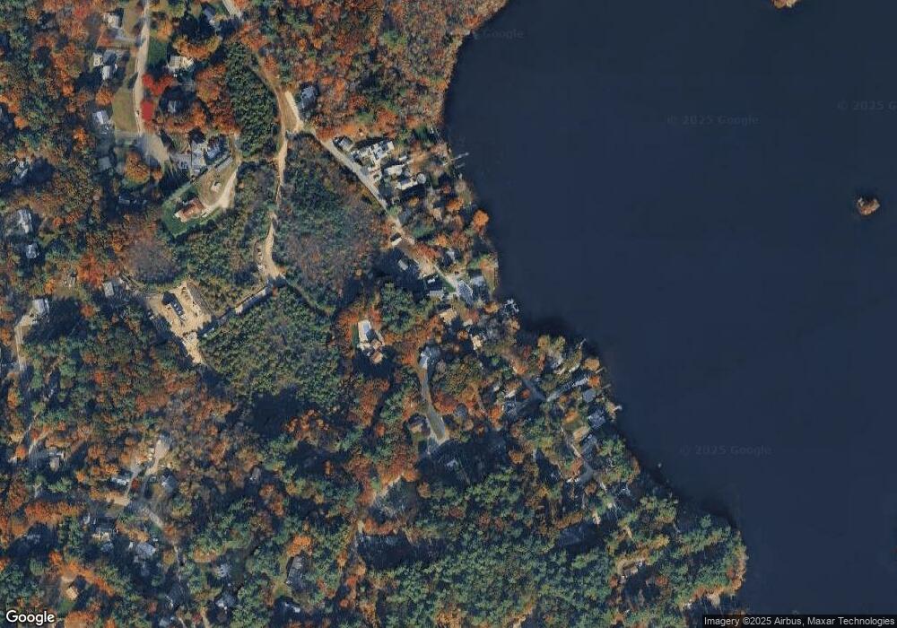
Map
Nearby Homes
- 269 Lakeside Rd
- 134 Crescent St
- 127 Crescent Place
- 66 Wildwood Rd
- 161 Winter St Unit 11
- 339 State St
- 7 Andrew Dr
- Lot 6 Way
- 430 Brook Bend Rd
- 10 Fir Rd
- 361 County Rd
- 84 Liberty St
- 139 Fairwood Dr
- 361A County Rd
- 51 Farmside Dr
- Lot 5 Princeton Way
- 285 W Elm St
- 7 Farmside Dr
- 108 Waterford Dr
- 60 Summer Path Way
- 236 Lakeside Rd
- 259 Lakeside Rd
- 261 Lakeside Rd
- 125 Roller Coaster Rd
- 240 Lakeside Rd
- 257 Lakeside Rd
- 257 Lakeside Rd Unit 257
- 250 Lakeside Rd
- 105 Roller Coaster Rd
- 217 Lakeside Rd
- 252 Lakeside Rd
- 131 Roller Coaster Rd
- 265 Lakeside Rd
- 207 Lakeside Rd
- 254 Lakeside Rd
- 230 Lakeside Rd
- 115 Roller Coaster Rd
- 140 Roller Coaster Rd
- 189 Lakeside Rd
- 273 Lakeside Rd
Your Personal Tour Guide
Ask me questions while you tour the home.