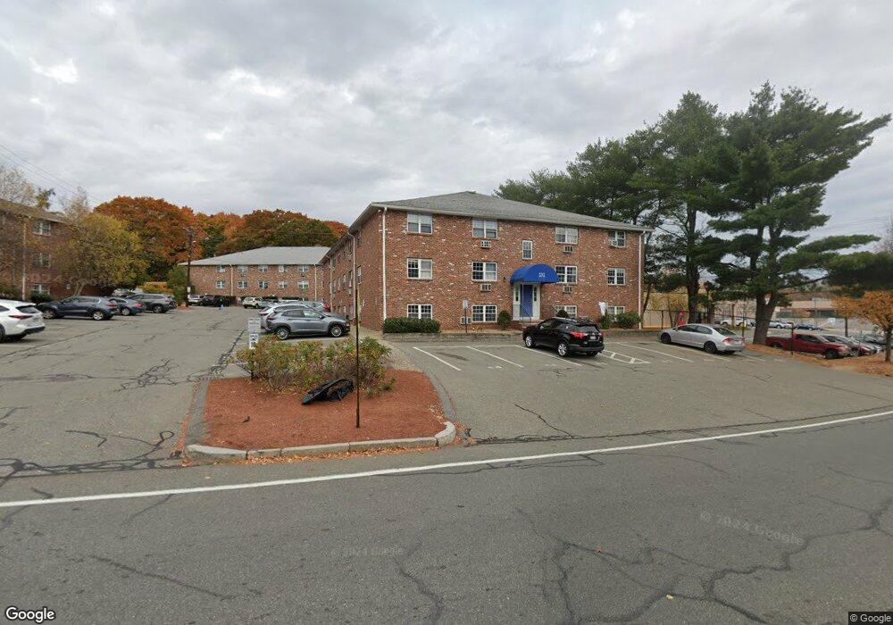
232 Low St Unit 22 Newburyport, MA 01950
Estimated Value: $225,000 - $254,000
1
Bed
1
Bath
621
Sq Ft
$377/Sq Ft
Est. Value
About This Home
This home is located at 232 Low St Unit 22, Newburyport, MA 01950 and is currently estimated at $234,145, approximately $377 per square foot. 232 Low St Unit 22 is a home located in Essex County with nearby schools including Francis T. Bresnahan Elementary School, Edward G. Molin Elementary School, and Rupert A. Nock Middle School.
Ownership History
Date
Name
Owned For
Owner Type
Purchase Details
Closed on
Sep 7, 2010
Sold by
P & R Rt
Bought by
Milliken Judy A
Current Estimated Value
Purchase Details
Closed on
Aug 4, 2004
Sold by
Bouley Gerald V
Bought by
P & R Rt
Purchase Details
Closed on
Mar 29, 2002
Sold by
Port Rt and Shribman Jeffrey N
Bought by
Bouley Gerald
Create a Home Valuation Report for This Property
The Home Valuation Report is an in-depth analysis detailing your home's value as well as a comparison with similar homes in the area
Home Values in the Area
Average Home Value in this Area
Purchase History
| Date | Buyer | Sale Price | Title Company |
|---|---|---|---|
| Milliken Judy A | $77,000 | -- | |
| P & R Rt | -- | -- | |
| Bouley Gerald | $90,000 | -- |
Source: Public Records
Tax History Compared to Growth
Tax History
| Year | Tax Paid | Tax Assessment Tax Assessment Total Assessment is a certain percentage of the fair market value that is determined by local assessors to be the total taxable value of land and additions on the property. | Land | Improvement |
|---|---|---|---|---|
| 2025 | $1,697 | $177,100 | $0 | $177,100 |
| 2024 | $1,656 | $166,100 | $0 | $166,100 |
| 2023 | $1,650 | $153,600 | $0 | $153,600 |
| 2022 | $1,511 | $125,800 | $0 | $125,800 |
| 2021 | $1,542 | $122,000 | $0 | $122,000 |
| 2020 | $1,536 | $119,600 | $0 | $119,600 |
| 2019 | $1,482 | $113,300 | $0 | $113,300 |
| 2018 | $1,195 | $90,100 | $0 | $90,100 |
| 2017 | $1,189 | $88,400 | $0 | $88,400 |
| 2016 | $1,067 | $79,700 | $0 | $79,700 |
| 2015 | $1,066 | $79,900 | $0 | $79,900 |
Source: Public Records
Map
Nearby Homes
- 232 Low St Unit 7
- 17 Alberta Ave
- 8 Hart Rd
- 42 Myrtle Ave
- 6 Storey Ave
- 61 Spofford St
- 8 Brown Ave
- 510 Merrimac St Unit 512
- 492 Merrimac St
- 287 1/2 High St
- 138 Low St
- 572 Merrimac St
- 19 Jefferson St
- 7 Frances Dr
- 110 Low St
- 1 Jefferson St
- 288 Merrimac St
- 13 Broad St
- 27 Warren St Unit 1
- 266 Merrimac St Unit F
- 232 Low St Unit 24
- 232 Low St Unit 23
- 232 Low St Unit 21
- 232 Low St Unit 20
- 232 Low St Unit 19
- 232 Low St Unit 18
- 232 Low St Unit 17
- 232 Low St Unit 16
- 232 Low St Unit 15
- 232 Low St Unit 14
- 232 Low St Unit 13
- 232 Low St Unit 12
- 232 Low St Unit 11
- 232 Low St Unit 10
- 232 Low St Unit 9
- 232 Low St Unit 8
- 232 Low St Unit 5
- 232 Low St Unit 4
- 232 Low St Unit 3
- 232 Low St Unit 1