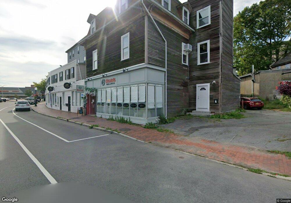
232 Main St Unit 2 Gloucester, MA 01930
Central Gloucester NeighborhoodEstimated Value: $393,000 - $746,000
6
Beds
3
Baths
5,480
Sq Ft
$89/Sq Ft
Est. Value
About This Home
This home is located at 232 Main St Unit 2, Gloucester, MA 01930 and is currently estimated at $487,315, approximately $88 per square foot. 232 Main St Unit 2 is a home located in Essex County with nearby schools including East Gloucester Elementary School, Ralph B O'maley Middle School, and Gloucester High School.
Ownership History
Date
Name
Owned For
Owner Type
Purchase Details
Closed on
Jun 28, 2002
Sold by
Ak Rt and Giglio Irma F
Bought by
Giglio Steven L and Giglio Brenda S
Current Estimated Value
Home Financials for this Owner
Home Financials are based on the most recent Mortgage that was taken out on this home.
Original Mortgage
$102,750
Outstanding Balance
$44,206
Interest Rate
6.92%
Mortgage Type
Purchase Money Mortgage
Estimated Equity
$443,109
Create a Home Valuation Report for This Property
The Home Valuation Report is an in-depth analysis detailing your home's value as well as a comparison with similar homes in the area
Home Values in the Area
Average Home Value in this Area
Purchase History
| Date | Buyer | Sale Price | Title Company |
|---|---|---|---|
| Giglio Steven L | $115,000 | -- |
Source: Public Records
Mortgage History
| Date | Status | Borrower | Loan Amount |
|---|---|---|---|
| Open | Giglio Steven L | $102,750 |
Source: Public Records
Tax History
| Year | Tax Paid | Tax Assessment Tax Assessment Total Assessment is a certain percentage of the fair market value that is determined by local assessors to be the total taxable value of land and additions on the property. | Land | Improvement |
|---|---|---|---|---|
| 2025 | $2,535 | $260,800 | $0 | $260,800 |
| 2024 | $2,288 | $235,200 | $0 | $235,200 |
| 2023 | $2,092 | $197,500 | $0 | $197,500 |
| 2022 | $1,996 | $170,200 | $0 | $170,200 |
| 2021 | $1,907 | $153,300 | $0 | $153,300 |
| 2020 | $1,890 | $153,300 | $0 | $153,300 |
| 2019 | $1,799 | $141,800 | $0 | $141,800 |
| 2018 | $2,184 | $168,900 | $0 | $168,900 |
| 2017 | $2,062 | $156,300 | $0 | $156,300 |
| 2016 | $1,954 | $143,600 | $0 | $143,600 |
| 2015 | $1,916 | $140,400 | $0 | $140,400 |
Source: Public Records
Map
Nearby Homes
- 191 Main St Unit 3
- 191 Main St Unit 2A
- 139A Prospect St
- 35 Middle St Unit 4
- 15 Mount Vernon St
- 113 Pleasant St
- 33 Middle St
- 50 Warner St
- 33 Maplewood Ave Unit 310
- 19 Trask St Unit 2
- 60 Rocky Neck Ave Unit 202
- 40 Sargent St
- 120 Washington St
- 73 Rocky Neck Ave Unit 2
- 20 Beacon St
- 20 Beacon St Unit 2
- 20 Beacon St Unit 1
- 12 Arthur St
- 9 Cleveland Place
- 197 E Main St Unit 1
- 232 Main St Unit 1
- 232 Main St Unit 3
- 222 Main St
- 222 Main St
- 222 Main St Unit 7
- 222 Main St Unit C2
- 271 Main St Unit 1
- 271 Main St Unit 3
- 9 Chestnut St
- 238 Main St
- 263 Main St Unit 7
- 263 Main St Unit 7-8
- 5-7 Chestnut St
- 13 Chestnut St
- 13 Chestnut St Unit 1
- 13 Chestnut St Unit 2
- 242 Main St
- 242 Main St Unit 3F
- 242 Main St Unit 6
- 242 Main St Unit 2R
Your Personal Tour Guide
Ask me questions while you tour the home.