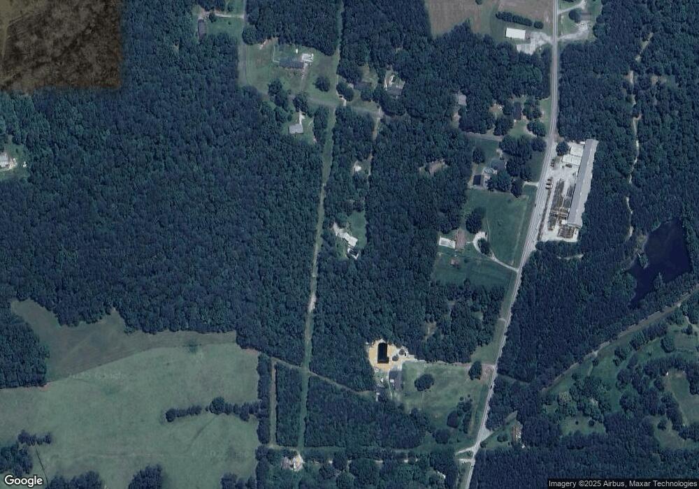
232 Mccowan Cir Rockmart, GA 30153
Estimated Value: $266,000 - $374,199
2
Beds
2
Baths
2,313
Sq Ft
$132/Sq Ft
Est. Value
About This Home
This home is located at 232 Mccowan Cir, Rockmart, GA 30153 and is currently estimated at $305,050, approximately $131 per square foot. 232 Mccowan Cir is a home located in Polk County with nearby schools including Rockmart Middle School.
Ownership History
Date
Name
Owned For
Owner Type
Purchase Details
Closed on
Aug 31, 1986
Bought by
Lanier Hoyt and Lanier Tina
Current Estimated Value
Purchase Details
Closed on
Dec 29, 1983
Sold by
Lanier Hoyt Edward
Bought by
Lanier Hoyt and Lanier Tina
Purchase Details
Closed on
Dec 6, 1983
Sold by
Camp Bobbie Jean
Bought by
Lanier Hoyt Edward
Purchase Details
Closed on
Sep 1, 1982
Sold by
Coats Margie
Bought by
Camp Bobbie Jean
Purchase Details
Closed on
Feb 14, 1979
Sold by
Bright Michael D
Bought by
Coats Margie
Purchase Details
Closed on
Apr 15, 1978
Sold by
Whitaker Leon
Bought by
Bright Michael D
Purchase Details
Closed on
Dec 21, 1973
Bought by
Whitaker Leon
Create a Home Valuation Report for This Property
The Home Valuation Report is an in-depth analysis detailing your home's value as well as a comparison with similar homes in the area
Purchase History
| Date | Buyer | Sale Price | Title Company |
|---|---|---|---|
| Lanier Hoyt | -- | -- | |
| Lanier Hoyt | -- | -- | |
| Lanier Hoyt Edward | -- | -- | |
| Camp Bobbie Jean | -- | -- | |
| Coats Margie | -- | -- | |
| Bright Michael D | -- | -- | |
| Whitaker Leon | -- | -- |
Source: Public Records
Tax History
| Year | Tax Paid | Tax Assessment Tax Assessment Total Assessment is a certain percentage of the fair market value that is determined by local assessors to be the total taxable value of land and additions on the property. | Land | Improvement |
|---|---|---|---|---|
| 2025 | $2,431 | $132,740 | $26,238 | $106,502 |
| 2024 | $2,431 | $118,309 | $19,293 | $99,016 |
| 2023 | $1,887 | $81,513 | $19,293 | $62,220 |
| 2022 | $1,516 | $65,863 | $12,862 | $53,001 |
| 2021 | $1,535 | $65,863 | $12,862 | $53,001 |
| 2020 | $1,538 | $65,863 | $12,862 | $53,001 |
| 2019 | $1,600 | $61,570 | $12,862 | $48,708 |
| 2018 | $1,603 | $60,162 | $12,862 | $47,300 |
| 2017 | $1,583 | $60,162 | $12,862 | $47,300 |
| 2016 | $1,500 | $57,129 | $9,829 | $47,300 |
| 2015 | $1,514 | $57,455 | $9,829 | $47,626 |
| 2014 | $1,525 | $57,455 | $9,829 | $47,626 |
Source: Public Records
Map
Nearby Homes
- 65 Wheeler Rd
- 1714 Cedartown Hwy
- 1039 Old Cedartown Rd
- 740 Calloway Dr
- 107 Main Line Rd
- 702 Calloway Dr
- 18 Hillside Dr
- 60 Lee St
- 92 Autumn Path
- 11 Lee St
- 722 Prospect Rd
- 0 Pine Mountain St Unit 10620510
- 0 Pine Mountain St Unit 10620492
- 93 Clay Rd
- 55 Mcclendon Dr
- 506 Prospect Rd
- 184 Morgan Ln
- 865 Morgan Valley Rd
- 1 Pine Mountain Rd
- 133 N Bellview Rd
- 194 Mccowan Cir
- 266 Mccowan Cir
- 337 Mccowan Rd
- 307 Mccowan Rd
- 219 Mccowan Cir
- 235 Mccowan Cir
- 235 McCown Cir
- 275 Mccowan Rd
- 187 Mccowan Cir
- 377 Mccowan Rd
- 271 Mccowan Cir
- 295 Mccowan Cir
- 142 McCown Cir
- 142 Mccowan Cir
- 142 Mccowan Cir
- 247 Mccowan Rd
- 467 Mccowan Rd
- 221 Mccowan Rd
- 0 Dye Rd
- 0 Dye Rd Unit 7135694
