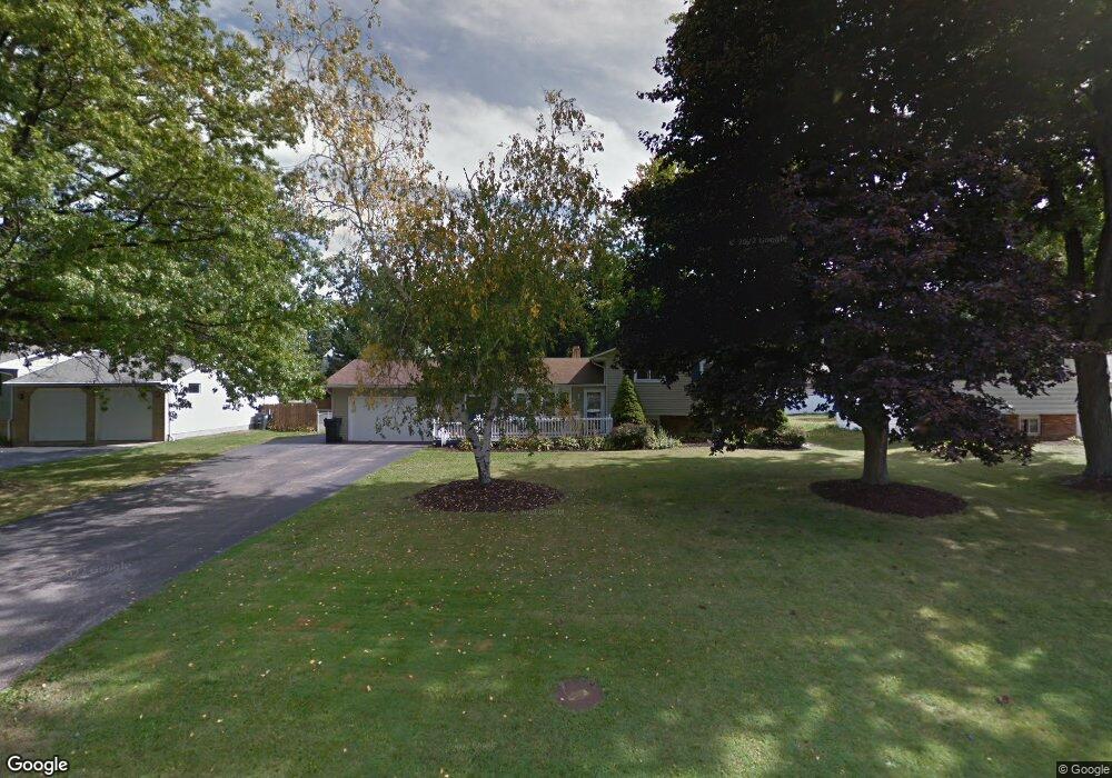
232 Meadows Dr Painesville, OH 44077
Estimated Value: $232,000 - $253,443
4
Beds
2
Baths
1,048
Sq Ft
$232/Sq Ft
Est. Value
About This Home
This home is located at 232 Meadows Dr, Painesville, OH 44077 and is currently estimated at $243,111, approximately $231 per square foot. 232 Meadows Dr is a home located in Lake County with nearby schools including Henry F. Lamuth Middle School, Riverside Junior/Senior High School, and Summit Academy Community School - Painesville.
Ownership History
Date
Name
Owned For
Owner Type
Purchase Details
Closed on
Apr 18, 2019
Sold by
Shipman Tami L
Bought by
Kasunic Richard and Hays Mindy
Current Estimated Value
Home Financials for this Owner
Home Financials are based on the most recent Mortgage that was taken out on this home.
Original Mortgage
$133,536
Interest Rate
5.62%
Mortgage Type
FHA
Purchase Details
Closed on
Apr 15, 1992
Bought by
Shipman Douglas A
Create a Home Valuation Report for This Property
The Home Valuation Report is an in-depth analysis detailing your home's value as well as a comparison with similar homes in the area
Home Values in the Area
Average Home Value in this Area
Purchase History
| Date | Buyer | Sale Price | Title Company |
|---|---|---|---|
| Kasunic Richard | $136,000 | None Available | |
| Shipman Douglas A | $88,900 | -- |
Source: Public Records
Mortgage History
| Date | Status | Borrower | Loan Amount |
|---|---|---|---|
| Previous Owner | Kasunic Richard | $133,536 |
Source: Public Records
Tax History Compared to Growth
Tax History
| Year | Tax Paid | Tax Assessment Tax Assessment Total Assessment is a certain percentage of the fair market value that is determined by local assessors to be the total taxable value of land and additions on the property. | Land | Improvement |
|---|---|---|---|---|
| 2024 | -- | $74,240 | $18,080 | $56,160 |
| 2023 | $5,561 | $51,030 | $14,520 | $36,510 |
| 2022 | $3,494 | $51,030 | $14,520 | $36,510 |
| 2021 | $3,647 | $51,030 | $14,520 | $36,510 |
| 2020 | $3,892 | $44,370 | $12,620 | $31,750 |
| 2019 | $3,392 | $44,370 | $12,620 | $31,750 |
| 2018 | $3,554 | $47,240 | $11,700 | $35,540 |
| 2017 | $3,709 | $47,240 | $11,700 | $35,540 |
| 2016 | $3,333 | $47,240 | $11,700 | $35,540 |
| 2015 | $2,775 | $47,240 | $11,700 | $35,540 |
| 2014 | $2,821 | $47,240 | $11,700 | $35,540 |
| 2013 | $2,759 | $47,240 | $11,700 | $35,540 |
Source: Public Records
Map
Nearby Homes
- 104 Overlook Rd
- 85 Nelmar Dr
- 55 Grove Ave
- 48 Nelmar Dr
- 238 Radley Dr
- 302 Maplebrook Dr Unit 302
- 1242 Heatherstone Dr
- 1172 Dalton Dr
- 1182 Dalton Dr
- 1160 Riverside Dr
- 33 Bryn Mawr Dr
- 54 Park Rd
- 193 Steele Ave
- 498 Bank St
- 736 Rivers Edge Ln Unit 68
- 30 Orton Rd
- 1627 Cottontail Ct Unit 9
- 65 Tanners Farm Dr
- 67 Tanners Farm Dr
- 881 Rivers Edge Ln