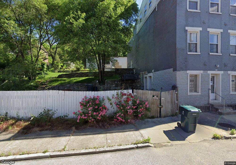
232 Mohawk St Cincinnati, OH 45214
Over-The-Rhine NeighborhoodEstimated Value: $72,000 - $499,000
Studio
--
Bath
--
Sq Ft
1,830
Sq Ft Lot
About This Home
This home is located at 232 Mohawk St, Cincinnati, OH 45214 and is currently estimated at $285,500. 232 Mohawk St is a home located in Hamilton County with nearby schools including Clifton Area Neighborhood School, Robert A. Taft Information Technology High School, and Gilbert A. Dater High School.
Ownership History
Date
Name
Owned For
Owner Type
Purchase Details
Closed on
Nov 15, 2013
Sold by
Pavelish Steven
Bought by
Dellinger Dennis
Current Estimated Value
Purchase Details
Closed on
Jul 22, 2009
Sold by
Rhodes Dusty
Bought by
Pavelish Steven and Pavelish Kahtleen
Purchase Details
Closed on
Jun 10, 1999
Sold by
White Debra Lynn
Bought by
Clayton Arthur B
Purchase Details
Closed on
Aug 26, 1997
Sold by
Hicks Fred Regis
Bought by
White Debra Lynn
Create a Home Valuation Report for This Property
The Home Valuation Report is an in-depth analysis detailing your home's value as well as a comparison with similar homes in the area
Home Values in the Area
Average Home Value in this Area
Purchase History
| Date | Buyer | Sale Price | Title Company |
|---|---|---|---|
| Dellinger Dennis | $500 | None Available | |
| Pavelish Steven | -- | Attorney | |
| Clayton Arthur B | $11,500 | -- | |
| White Debra Lynn | -- | -- |
Source: Public Records
Tax History
| Year | Tax Paid | Tax Assessment Tax Assessment Total Assessment is a certain percentage of the fair market value that is determined by local assessors to be the total taxable value of land and additions on the property. | Land | Improvement |
|---|---|---|---|---|
| 2025 | $354 | $5,390 | $5,390 | -- |
| 2024 | $353 | $5,390 | $5,390 | -- |
| 2023 | $354 | $5,390 | $5,390 | $0 |
| 2022 | $316 | $4,312 | $4,312 | $0 |
| 2021 | $307 | $4,312 | $4,312 | $0 |
| 2020 | $308 | $4,312 | $4,312 | $0 |
| 2019 | $173 | $2,156 | $2,156 | $0 |
| 2018 | $173 | $2,156 | $2,156 | $0 |
| 2017 | $167 | $2,156 | $2,156 | $0 |
| 2016 | $201 | $2,562 | $2,562 | $0 |
| 2015 | $180 | $2,562 | $2,562 | $0 |
| 2014 | $181 | $2,562 | $2,562 | $0 |
| 2013 | $184 | $2,562 | $2,562 | $0 |
Source: Public Records
Map
Nearby Homes
- 209 Hastings St
- 279 Renner St
- 266 Klotter Ave
- 305 Klotter Ave
- 1913 Central Ave
- 310 W McMicken Ave
- 306 Klotter Ave
- 320 Mohawk St
- 310 Klotter Ave
- 316 Klotter Ave
- 2171 Sohn St
- 422 Dayton St
- 104 W Clifton Ave
- 2123 Renner Place
- 407 Mohawk St
- 2125 Renner Place
- 2014 Ohio Ave
- 444 Dayton St
- 2128 Ravine St
- 411 W McMicken Ave
Your Personal Tour Guide
Ask me questions while you tour the home.