Estimated Value: $644,000 - $693,051
4
Beds
3
Baths
3,195
Sq Ft
$207/Sq Ft
Est. Value
About This Home
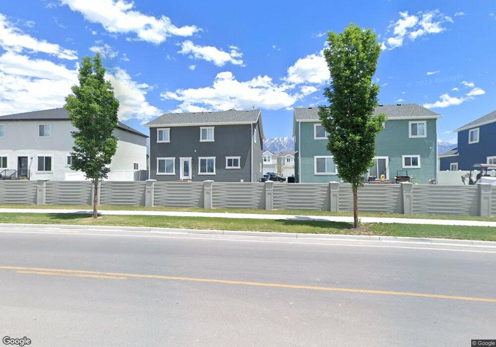
This home is located at 232 N 410 E, Orem, UT 84059 and is currently estimated at $662,017, approximately $207 per square foot. 232 N 410 E is a home located in Utah County with nearby schools including Orem Junior High School, Mountain View High School, and Franklin Discovery Academy.
Ownership History
Date
Name
Owned For
Owner Type
Purchase Details
Closed on
Nov 30, 2021
Sold by
Stay Diane J
Bought by
Wright Andrew and Wright Heather
Current Estimated Value
Home Financials for this Owner
Home Financials are based on the most recent Mortgage that was taken out on this home.
Original Mortgage
$545,000
Outstanding Balance
$501,123
Interest Rate
3.09%
Mortgage Type
New Conventional
Estimated Equity
$160,894
Purchase Details
Closed on
Feb 13, 2019
Sold by
Flagship Development Inc
Bought by
Building Construction Partners Llc
Purchase Details
Closed on
Apr 27, 2018
Sold by
Building Construction Partnes Llc
Bought by
Stay Diane J
Create a Home Valuation Report for This Property
The Home Valuation Report is an in-depth analysis detailing your home's value as well as a comparison with similar homes in the area
Home Values in the Area
Average Home Value in this Area
Purchase History
| Date | Buyer | Sale Price | Title Company |
|---|---|---|---|
| Wright Andrew | -- | Inwest Title | |
| Building Construction Partners Llc | -- | Gt Title Services | |
| Stay Diane J | -- | Gt Title |
Source: Public Records
Mortgage History
| Date | Status | Borrower | Loan Amount |
|---|---|---|---|
| Open | Wright Andrew | $545,000 |
Source: Public Records
Tax History
| Year | Tax Paid | Tax Assessment Tax Assessment Total Assessment is a certain percentage of the fair market value that is determined by local assessors to be the total taxable value of land and additions on the property. | Land | Improvement |
|---|---|---|---|---|
| 2025 | $3,157 | $318,175 | -- | -- |
| 2024 | $3,157 | $296,175 | $0 | $0 |
| 2023 | $2,883 | $302,170 | $0 | $0 |
| 2022 | $2,986 | $304,260 | $0 | $0 |
| 2021 | $2,648 | $413,600 | $155,800 | $257,800 |
| 2020 | $2,481 | $387,100 | $141,600 | $245,500 |
| 2019 | $2,219 | $356,800 | $131,700 | $225,100 |
| 2018 | $1,418 | $115,300 | $115,300 | $0 |
Source: Public Records
Map
Nearby Homes
- 235 N 590 E
- 212 N 590 E
- 78 N Scarlet Maple Dr Unit 4304
- 332 E 210 N
- 283 N 590 E
- 422 E 360 North St
- 266 N 590 E Unit Building 6
- 266 N 590 E Unit 6
- 624 E 300 N Unit 3
- 56 N Rue de Matth
- 341 N 680 E
- 24 W Stillwater St S Unit 153
- 266 N 725 E
- 206 N 750 E
- 280 N 750 E
- 132 E Annual Way
- 579 N 290 E
- 65 E 425 N
- 152 E 580 N
- 224 E 630 N
- 232 N 410 E Unit 63 BP
- 224 N 480 E
- 242 N 410 E Unit 64 BP
- 351 W 410 N
- 353 W 410 N
- 222 N 480 W Unit 61 BP
- 222 N 480 W
- 241 N 590 E
- 257 N 590 E
- 214 N 480 W Unit BP 60
- 237 N 410 E Unit 68 BP
- 227 N 410 E Unit 67 BP
- 243 N 410 E Unit 69 BP
- 229 N 590 E
- 258 North St Unit 5
- 441 E 260 N
- 208 N 480 W
- 219 N 410 E
- 437 E 260 N
- 249 N 410 E Unit 70 B
Your Personal Tour Guide
Ask me questions while you tour the home.