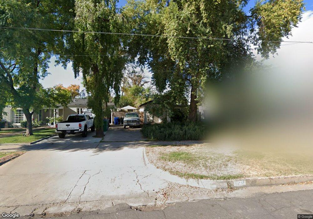
232 N Robson Mesa, AZ 85201
Downtown Mesa NeighborhoodEstimated Value: $257,000 - $333,244
Studio
1
Bath
610
Sq Ft
$486/Sq Ft
Est. Value
About This Home
This home is located at 232 N Robson, Mesa, AZ 85201 and is currently estimated at $296,561, approximately $486 per square foot. 232 N Robson is a home located in Maricopa County with nearby schools including Eisenhower Center for Innovation, Franklin at Brimhall Elementary School, and Franklin West Elementary School.
Ownership History
Date
Name
Owned For
Owner Type
Purchase Details
Closed on
Sep 30, 2022
Sold by
Kropp Robert A and Kropp Nancy A
Bought by
Anvar Holdings Redistribution Trust
Current Estimated Value
Purchase Details
Closed on
Sep 27, 2001
Sold by
Fitzgerald Laurel
Bought by
Kropp Robert A and Kropp Nancy A
Purchase Details
Closed on
Jun 15, 2001
Sold by
Fitzgerald Larry Robert
Bought by
Fitzgerald Larry Robert and Fitzgerald Laurel
Purchase Details
Closed on
May 4, 1996
Sold by
Page Walter L
Bought by
Fitzgerald Larry Robert
Create a Home Valuation Report for This Property
The Home Valuation Report is an in-depth analysis detailing your home's value as well as a comparison with similar homes in the area
Home Values in the Area
Average Home Value in this Area
Purchase History
| Date | Buyer | Sale Price | Title Company |
|---|---|---|---|
| Anvar Holdings Redistribution Trust | -- | -- | |
| Kropp Robert A | $715,000 | Capital Title Agency | |
| Fitzgerald Larry Robert | -- | Chicago Title Insurance Comp | |
| Fitzgerald Larry Robert | $50,000 | Chicago Title Insurance Co |
Source: Public Records
Tax History
| Year | Tax Paid | Tax Assessment Tax Assessment Total Assessment is a certain percentage of the fair market value that is determined by local assessors to be the total taxable value of land and additions on the property. | Land | Improvement |
|---|---|---|---|---|
| 2025 | $251 | $2,549 | -- | -- |
| 2024 | $252 | $2,428 | -- | -- |
| 2023 | $252 | $8,805 | $1,760 | $7,045 |
| 2022 | $247 | $6,255 | $1,250 | $5,005 |
| 2021 | $250 | $5,450 | $1,090 | $4,360 |
| 2020 | $247 | $5,335 | $1,065 | $4,270 |
| 2019 | $231 | $4,465 | $890 | $3,575 |
| 2018 | $221 | $3,905 | $780 | $3,125 |
| 2017 | $215 | $2,750 | $550 | $2,200 |
| 2016 | $211 | $2,140 | $425 | $1,715 |
| 2015 | $198 | $1,910 | $380 | $1,530 |
Source: Public Records
Map
Nearby Homes
- 236 N Country Club Dr
- 124 W 1st St
- 453 W 3rd Place
- 225 W 1st St Unit 120
- 453 W University Dr
- 532 N Grand
- 449 N Drew St E
- 555 W University Dr
- 455 W 5th Place
- 443 N Center St
- 141 N Date Unit 63
- 606 N Country Club Dr
- 416 N Lewis
- 38 S Macdonald
- 547 W Mahoney Ave
- 141 N Pasadena
- 143 S Lebaron
- 146 S Robson
- 509 W Dana Ave
- 133 N Hibbert
- 226 N Robson
- 236 N Robson
- 220 N Robson
- 242 N Robson
- 212 N Robson
- 229 N Lebaron
- 235 N Lebaron
- 225 N Lebaron
- 248 N Robson
- 237 N Lebaron
- 210 N Robson
- 215 N Lebaron
- 241 N Lebaron
- 258 N Robson
- 253 1/2 N Lebaron
- 253 N Lebaron
- 226 W 2nd St
- 205 N Lebaron Unit 105
- 205 N Lebaron Unit 104
- 205 N Lebaron Unit 102
Your Personal Tour Guide
Ask me questions while you tour the home.