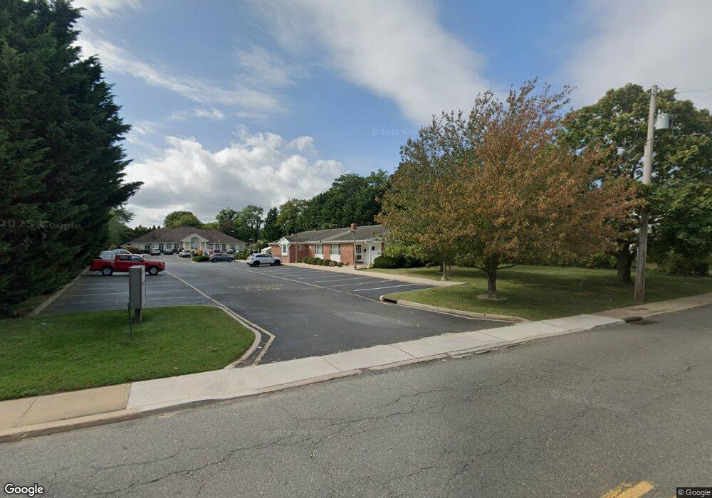
232 Norwood Ave Unit A West Long Branch, NJ 07764
--
Bed
--
Bath
3,000
Sq Ft
1.57
Acres
About This Home
This home is located at 232 Norwood Ave Unit A, West Long Branch, NJ 07764. 232 Norwood Ave Unit A is a home located in Monmouth County with nearby schools including Betty McElmon Elementary School, Frank Antonides School, and Shore Regional High School.
Ownership History
Date
Name
Owned For
Owner Type
Purchase Details
Closed on
Jun 19, 2020
Sold by
Fxf Llc
Bought by
Rencar Llc
Home Financials for this Owner
Home Financials are based on the most recent Mortgage that was taken out on this home.
Original Mortgage
$285,000
Outstanding Balance
$252,155
Interest Rate
3.1%
Mortgage Type
Commercial
Purchase Details
Closed on
Feb 10, 2009
Sold by
Falivene Francis X
Bought by
Fxf Llc
Create a Home Valuation Report for This Property
The Home Valuation Report is an in-depth analysis detailing your home's value as well as a comparison with similar homes in the area
Home Values in the Area
Average Home Value in this Area
Purchase History
| Date | Buyer | Sale Price | Title Company |
|---|---|---|---|
| Rencar Llc | -- | Meridian Asset Services Inc | |
| Fxf Llc | -- | None Available |
Source: Public Records
Mortgage History
| Date | Status | Borrower | Loan Amount |
|---|---|---|---|
| Open | Rencar Llc | $285,000 |
Source: Public Records
Tax History Compared to Growth
Tax History
| Year | Tax Paid | Tax Assessment Tax Assessment Total Assessment is a certain percentage of the fair market value that is determined by local assessors to be the total taxable value of land and additions on the property. | Land | Improvement |
|---|---|---|---|---|
| 2025 | $30,314 | $2,393,900 | $943,700 | $1,450,200 |
| 2024 | $31,175 | $2,326,500 | $842,600 | $1,483,900 |
| 2023 | $31,175 | $2,231,600 | $496,000 | $1,735,600 |
| 2022 | $26,644 | $2,034,400 | $367,200 | $1,667,200 |
| 2021 | $26,644 | $1,378,400 | $282,600 | $1,095,800 |
| 2020 | $28,059 | $1,365,400 | $261,400 | $1,104,000 |
| 2019 | $27,594 | $1,350,000 | $246,000 | $1,104,000 |
| 2018 | $33,092 | $1,563,900 | $226,400 | $1,337,500 |
| 2017 | $35,075 | $1,582,800 | $211,400 | $1,371,400 |
| 2016 | $33,872 | $1,559,500 | $186,000 | $1,373,500 |
| 2015 | $33,575 | $1,543,700 | $186,000 | $1,357,700 |
| 2014 | $35,517 | $1,523,700 | $166,000 | $1,357,700 |
Source: Public Records
Map
Nearby Homes
- 264 Norwood Ave
- 54 Wall St
- 21 Dennis St
- 2 Hilltop Rd
- 440 W End Ave
- 317 Norwood Ave
- 153 Vanderbilt Ave
- 570 Monmouth Place
- 11 Fairway Ave
- 88 Norwood Ave
- 552 Westwood Ave
- 388 Brookdale Ave
- 434 Westwood Ave
- 448 Monmouth Place
- 57 Hollywood Ave
- 28 Norwood Ave
- 364 Westwood Ave Unit 39
- 364 Westwood Ave Unit 71
- 364 Westwood Ave Unit 21
- 377 Westwood Ave
- 232 Norwood Ave Unit 102
- 232 Norwood Ave Unit 105
- 232 Norwood Ave Unit 101
- 24 Wall St
- 2 Mitchell Terrace
- 4 Mitchell Terrace
- 26 Wall St
- 6 Mitchell Terrace
- 10 Mitchell Terrace
- 14 Wall St
- 246 Norwood Ave
- 34 Wall St
- 217 Oakwood Ave
- 224 Norwood Ave
- 266 Norwood Ave
- 266 Norwood Ave Unit Rear
- 266 Norwood Ave Unit WINTER SEP 2024
- 266 Norwood Ave Unit SUMMER
- 266 Norwood Ave Unit WINTER RENTAL
- 266 Norwood Ave Unit R