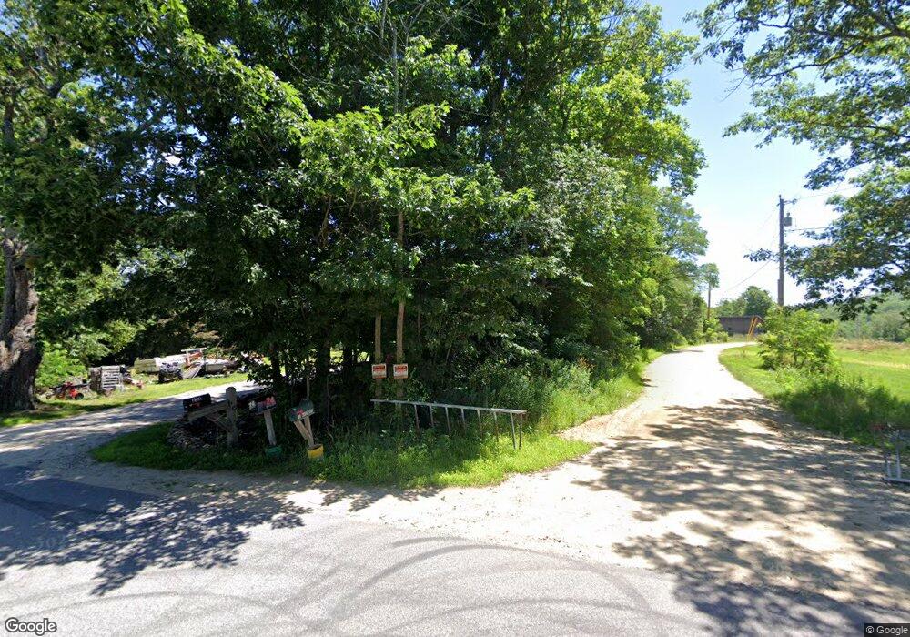
232 Paris Hill Rd Buckfield, ME 04220
Estimated Value: $261,779 - $293,000
3
Beds
2
Baths
2,160
Sq Ft
$130/Sq Ft
Est. Value
About This Home
This home is located at 232 Paris Hill Rd, Buckfield, ME 04220 and is currently estimated at $281,445, approximately $130 per square foot. 232 Paris Hill Rd is a home located in Oxford County with nearby schools including Hartford-Sumner Elementary School and Buckfield Junior/Senior High School.
Ownership History
Date
Name
Owned For
Owner Type
Purchase Details
Closed on
Oct 3, 2011
Sold by
Danforth Franklin O and Danforth Debra L
Bought by
Damon Iva M
Current Estimated Value
Home Financials for this Owner
Home Financials are based on the most recent Mortgage that was taken out on this home.
Original Mortgage
$106,735
Outstanding Balance
$72,973
Interest Rate
4.15%
Mortgage Type
Commercial
Estimated Equity
$208,472
Create a Home Valuation Report for This Property
The Home Valuation Report is an in-depth analysis detailing your home's value as well as a comparison with similar homes in the area
Home Values in the Area
Average Home Value in this Area
Purchase History
| Date | Buyer | Sale Price | Title Company |
|---|---|---|---|
| Damon Iva M | -- | -- |
Source: Public Records
Mortgage History
| Date | Status | Borrower | Loan Amount |
|---|---|---|---|
| Open | Damon Iva M | $106,735 |
Source: Public Records
Tax History Compared to Growth
Tax History
| Year | Tax Paid | Tax Assessment Tax Assessment Total Assessment is a certain percentage of the fair market value that is determined by local assessors to be the total taxable value of land and additions on the property. | Land | Improvement |
|---|---|---|---|---|
| 2024 | $2,343 | $183,800 | $35,200 | $148,600 |
| 2023 | $3,641 | $139,500 | $30,100 | $109,400 |
| 2022 | $3,938 | $139,500 | $30,100 | $109,400 |
| 2021 | $2,616 | $139,500 | $30,100 | $109,400 |
| 2020 | $3,041 | $139,500 | $30,100 | $109,400 |
| 2019 | $3,363 | $139,500 | $30,100 | $109,400 |
| 2018 | $3,310 | $139,500 | $30,100 | $109,400 |
| 2017 | $3,110 | $139,100 | $30,100 | $109,000 |
| 2016 | $2,993 | $139,100 | $30,100 | $109,000 |
| 2015 | $2,893 | $139,100 | $30,100 | $109,000 |
| 2014 | $2,859 | $139,100 | $30,100 | $109,000 |
| 2013 | $2,963 | $139,100 | $30,100 | $109,000 |
Source: Public Records
Map
Nearby Homes
- 216 Brock School Rd
- 040 Streaked Mountain Rd
- 546 Mount Mica Rd
- 209 Old Sumner Rd
- Lot B Blackberry Ln
- Lot A Blackberry Ln
- 6.79 A End McAllister Rd
- 6.46 End McAllister Rd
- 14 Tucker Rd
- 186 Old Sumner Rd
- 236 Old Sumner Rd
- 6.61 Mountain Rd Aka Hodgdon Rd
- 6.28 Mountain Rd Aka Hodgdon Rd
- 604 Ryerson Hill Rd
- 329 Sumner Rd
- 01 Mountain Rd
- Lot #3 High Ridge Rd
- 15 Royal Ridge Ln
- 0 Brown Rd
- 8-3 Turner St
- 231 Paris Hill Rd
- 253 Paris Hill Rd
- 207 Paris Hill Rd
- 264 Paris Hill Rd
- 173 Paris Hill Rd
- 289 Paris Hill Rd
- 167 Paris Hill Rd
- 155 Paris Hill Rd
- 298 Paris Hill Rd
- 307 Paris Hill Rd
- 308 Paris Hill Rd
- 133 Paris Hill Rd
- 117 Paris Hill Rd
- 349 Paris Hill Rd
- 0 Paris Hill Rd
- 362 Paris Hill Rd
- 95 Paris Hill Rd
- 80 Paris Hill Rd
- 381 Paris Hill Rd
- Map2-4Lot2 Paris Hill Rd