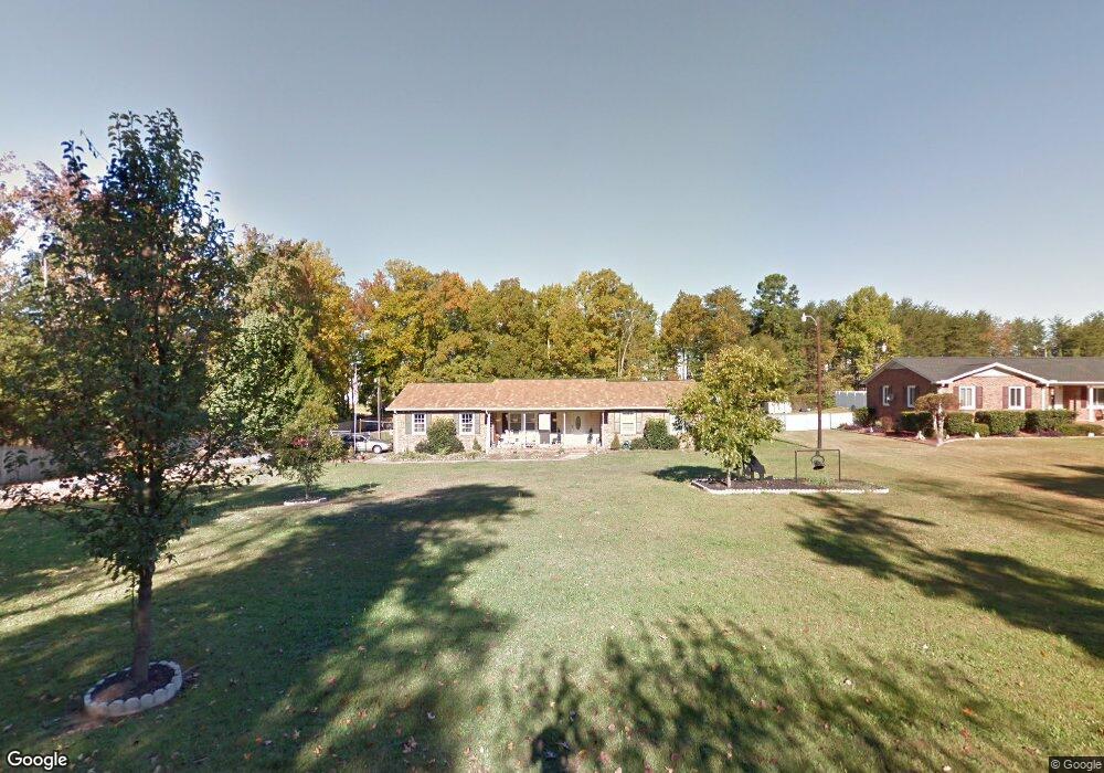
232 Parwin Rd Spartanburg, SC 29303
Estimated Value: $341,404
3
Beds
2
Baths
1,978
Sq Ft
$173/Sq Ft
Est. Value
About This Home
This home is located at 232 Parwin Rd, Spartanburg, SC 29303 and is currently estimated at $341,404, approximately $172 per square foot. 232 Parwin Rd is a home located in Spartanburg County with nearby schools including Dorman High School Freshman Campus, Dorman High School, and High Point Academy.
Ownership History
Date
Name
Owned For
Owner Type
Purchase Details
Closed on
Jun 29, 2006
Sold by
Velthouse Larry G and Velthouse Locella
Bought by
Messick Kenneth W and Messick Nora L
Current Estimated Value
Home Financials for this Owner
Home Financials are based on the most recent Mortgage that was taken out on this home.
Original Mortgage
$145,900
Outstanding Balance
$81,782
Interest Rate
5.75%
Mortgage Type
Adjustable Rate Mortgage/ARM
Estimated Equity
$259,622
Purchase Details
Closed on
Jul 25, 2000
Sold by
Schaffer Ronald L and Schaffer Stephanie R
Bought by
Velthouse Larry G and Velthouse Locella
Create a Home Valuation Report for This Property
The Home Valuation Report is an in-depth analysis detailing your home's value as well as a comparison with similar homes in the area
Home Values in the Area
Average Home Value in this Area
Purchase History
| Date | Buyer | Sale Price | Title Company |
|---|---|---|---|
| Messick Kenneth W | $145,900 | None Available | |
| Velthouse Larry G | $133,000 | -- |
Source: Public Records
Mortgage History
| Date | Status | Borrower | Loan Amount |
|---|---|---|---|
| Open | Messick Kenneth W | $145,900 |
Source: Public Records
Tax History Compared to Growth
Tax History
| Year | Tax Paid | Tax Assessment Tax Assessment Total Assessment is a certain percentage of the fair market value that is determined by local assessors to be the total taxable value of land and additions on the property. | Land | Improvement |
|---|---|---|---|---|
| 2025 | $74 | -- | -- | -- |
| 2024 | $74 | -- | -- | -- |
| 2023 | $74 | $0 | $0 | $0 |
| 2022 | $64 | $0 | $0 | $0 |
| 2021 | $64 | $0 | $0 | $0 |
| 2020 | $1,165 | $6,400 | $600 | $5,800 |
| 2019 | $1,165 | $6,400 | $600 | $5,800 |
| 2018 | $1,247 | $6,874 | $562 | $6,312 |
| 2017 | $1,079 | $5,978 | $550 | $5,428 |
| 2016 | $1,079 | $5,978 | $550 | $5,428 |
| 2015 | $1,066 | $5,978 | $550 | $5,428 |
| 2014 | $1,032 | $5,978 | $550 | $5,428 |
Source: Public Records
Map
Nearby Homes
- TADMOR Plan at Moss Creek
- BRISCOE Plan at Moss Creek
- AUBURN Plan at Moss Creek
- BERKSHIRE Plan at Moss Creek
- 1397 New Cut Rd
- 321 Siskin Place
- 6314 Carmel Dr
- 308 Siskin Place
- 943 Monks Grove Church Rd
- 214 Crawford Cir
- 1118 White Willow Dr
- 1178 White Willow Dr
- 273 Crawford Cir
- 1131 White Willow Dr
- 1208 Hackberry Ct
- SALEM Plan at Woodhaven
- 1316 Salix Ct
- Penwell Plan at Woodhaven
- Wilmington Plan at Woodhaven
- Biltmore Plan at Woodhaven