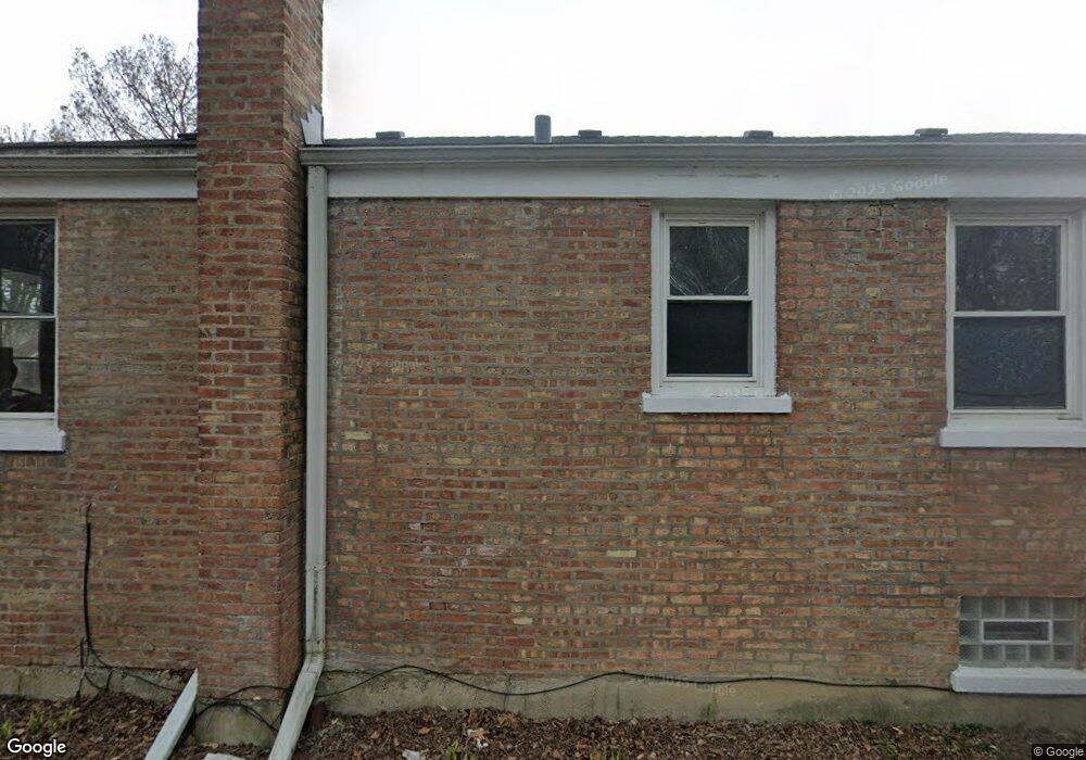
232 Richmond St Evanston, IL 60202
Southwest Evanston NeighborhoodEstimated Value: $378,000 - $499,000
3
Beds
2
Baths
949
Sq Ft
$460/Sq Ft
Est. Value
About This Home
This home is located at 232 Richmond St, Evanston, IL 60202 and is currently estimated at $436,353, approximately $459 per square foot. 232 Richmond St is a home located in Cook County with nearby schools including Dawes Elementary School, Chute Middle School, and Evanston Township High School.
Ownership History
Date
Name
Owned For
Owner Type
Purchase Details
Closed on
Jun 28, 2007
Sold by
Komoroczy Miklos P
Bought by
Whitis Janet B
Current Estimated Value
Home Financials for this Owner
Home Financials are based on the most recent Mortgage that was taken out on this home.
Original Mortgage
$261,200
Outstanding Balance
$159,050
Interest Rate
6.37%
Mortgage Type
Unknown
Estimated Equity
$277,303
Purchase Details
Closed on
Mar 9, 2005
Sold by
Wellington Frederick and Wellington Veronica
Bought by
Komoroczy Miklos P
Home Financials for this Owner
Home Financials are based on the most recent Mortgage that was taken out on this home.
Original Mortgage
$190,000
Interest Rate
5.67%
Mortgage Type
Unknown
Create a Home Valuation Report for This Property
The Home Valuation Report is an in-depth analysis detailing your home's value as well as a comparison with similar homes in the area
Home Values in the Area
Average Home Value in this Area
Purchase History
| Date | Buyer | Sale Price | Title Company |
|---|---|---|---|
| Whitis Janet B | $275,000 | Cti | |
| Komoroczy Miklos P | $285,000 | Cst |
Source: Public Records
Mortgage History
| Date | Status | Borrower | Loan Amount |
|---|---|---|---|
| Open | Whitis Janet B | $261,200 | |
| Previous Owner | Komoroczy Miklos P | $190,000 |
Source: Public Records
Tax History
| Year | Tax Paid | Tax Assessment Tax Assessment Total Assessment is a certain percentage of the fair market value that is determined by local assessors to be the total taxable value of land and additions on the property. | Land | Improvement |
|---|---|---|---|---|
| 2025 | $5,627 | $34,001 | $7,914 | $26,087 |
| 2024 | $5,627 | $28,909 | $6,664 | $22,245 |
| 2023 | $5,704 | $30,398 | $6,664 | $23,734 |
| 2022 | $5,704 | $30,398 | $6,664 | $23,734 |
| 2021 | $6,971 | $25,920 | $3,540 | $22,380 |
| 2020 | $6,876 | $25,920 | $3,540 | $22,380 |
| 2019 | $6,867 | $28,929 | $3,540 | $25,389 |
| 2018 | $5,690 | $20,497 | $2,915 | $17,582 |
| 2017 | $5,541 | $20,497 | $2,915 | $17,582 |
| 2016 | $5,254 | $20,497 | $2,915 | $17,582 |
| 2015 | $5,256 | $19,327 | $2,499 | $16,828 |
| 2014 | $5,206 | $19,327 | $2,499 | $16,828 |
| 2013 | $5,085 | $19,327 | $2,499 | $16,828 |
Source: Public Records
Map
Nearby Homes
- 2123 Howard St Unit 1H
- 3024 W Fargo Ave
- 1625 Howard St Unit C3
- 1927 Warren St
- 1609 Howard St Unit 2
- 3110 W Jarvis Ave
- 1517 Dobson St
- 2507 W Howard St
- 1321 Brummel St
- 1815 Cleveland St
- 156 Asbury Ave Unit 5
- 532 Wesley Ave Unit WEST
- 704 Florence Ave
- 1217 Hull Terrace Unit 3A
- 1507 Cleveland St
- 1810 Washington St
- 826 Brown Ave
- 8260 N Mccormick Blvd
- 7249 N Campbell Ave Unit B
- 1515 Monroe St Unit A
- 230 Richmond St
- 228 Richmond St
- 224 Richmond St
- 235 Hartrey Ave
- 233 Hartrey Ave
- 227 Hartrey Ave
- 225 Hartrey Ave
- 218 Richmond St
- 233 Richmond St
- 231 Richmond St
- 227 Richmond St
- 221 Hartrey Ave
- 216 Richmond St
- 223 Richmond St
- 221 Richmond St
- 212 Richmond St
- 219 Richmond St
- 217 Hartrey Ave
- 215 Richmond St
- 213 Hartrey Ave
Your Personal Tour Guide
Ask me questions while you tour the home.