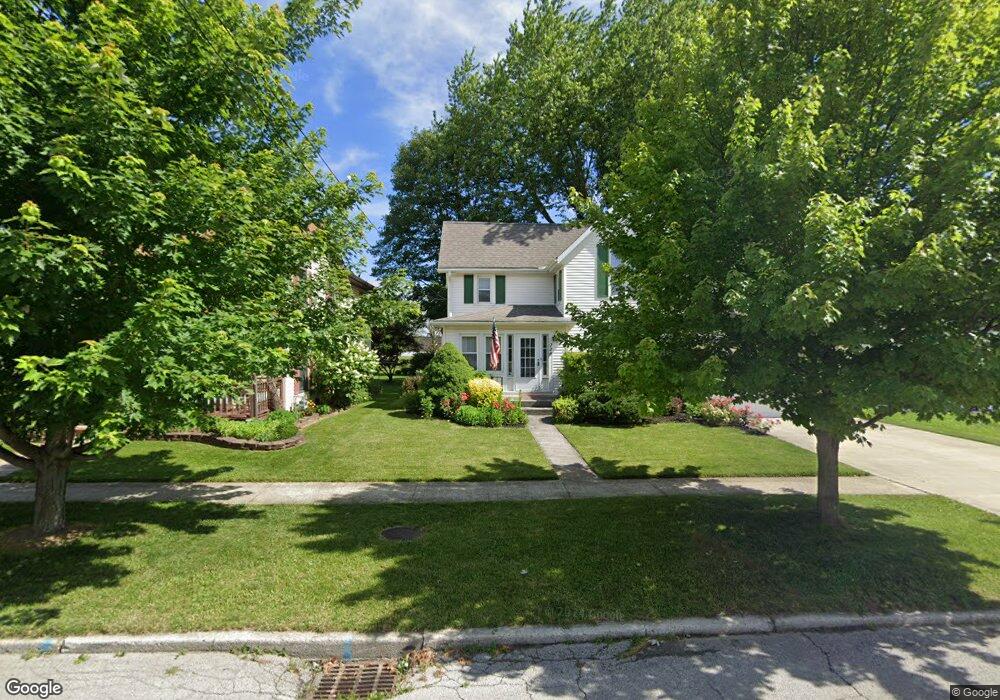
232 Rock St Fostoria, OH 44830
Estimated Value: $145,461 - $195,000
3
Beds
2
Baths
1,440
Sq Ft
$121/Sq Ft
Est. Value
About This Home
This home is located at 232 Rock St, Fostoria, OH 44830 and is currently estimated at $173,615, approximately $120 per square foot. 232 Rock St is a home located in Seneca County with nearby schools including Fostoria Intermediate Elementary School and Fostoria Junior/Senior High School.
Ownership History
Date
Name
Owned For
Owner Type
Purchase Details
Closed on
Nov 9, 2005
Sold by
Baker Michael E and Baker Suzette M
Bought by
Bugner Joan R
Current Estimated Value
Home Financials for this Owner
Home Financials are based on the most recent Mortgage that was taken out on this home.
Original Mortgage
$92,000
Outstanding Balance
$1,322
Interest Rate
6.13%
Mortgage Type
New Conventional
Estimated Equity
$172,293
Purchase Details
Closed on
May 7, 2004
Sold by
Baker Michael E
Bought by
Baker Suzette M
Purchase Details
Closed on
Oct 1, 1986
Purchase Details
Closed on
Apr 1, 1985
Create a Home Valuation Report for This Property
The Home Valuation Report is an in-depth analysis detailing your home's value as well as a comparison with similar homes in the area
Home Values in the Area
Average Home Value in this Area
Purchase History
| Date | Buyer | Sale Price | Title Company |
|---|---|---|---|
| Bugner Joan R | $115,000 | None Available | |
| Baker Suzette M | -- | -- | |
| -- | $55,000 | -- | |
| -- | $45,000 | -- |
Source: Public Records
Mortgage History
| Date | Status | Borrower | Loan Amount |
|---|---|---|---|
| Open | Bugner Joan R | $92,000 |
Source: Public Records
Tax History Compared to Growth
Tax History
| Year | Tax Paid | Tax Assessment Tax Assessment Total Assessment is a certain percentage of the fair market value that is determined by local assessors to be the total taxable value of land and additions on the property. | Land | Improvement |
|---|---|---|---|---|
| 2024 | $1,295 | $34,790 | $3,910 | $30,880 |
| 2023 | $1,303 | $34,790 | $3,910 | $30,880 |
| 2022 | $1,322 | $32,000 | $3,390 | $28,610 |
| 2021 | $1,346 | $32,000 | $3,390 | $28,610 |
| 2020 | $1,352 | $31,994 | $3,388 | $28,606 |
| 2019 | $1,184 | $28,879 | $3,133 | $25,746 |
| 2018 | $1,207 | $28,879 | $3,133 | $25,746 |
| 2017 | $1,059 | $28,879 | $3,133 | $25,746 |
| 2016 | $927 | $26,016 | $3,406 | $22,610 |
| 2015 | $909 | $26,016 | $3,406 | $22,610 |
| 2014 | $864 | $26,016 | $3,406 | $22,610 |
| 2013 | $1,052 | $28,204 | $3,700 | $24,504 |
Source: Public Records
Map
Nearby Homes
- 1324 N Union St
- 375 Thomas St
- 900 N Countyline St
- 892 N Countyline St
- 931 N Union St
- 633 Maple St
- 723 N Union St
- 901 Central Ave
- 727 Eisenhower Dr
- 827 Buckley St
- 520 N Union St
- 540 N Poplar St
- 220 E High St
- 711 Circle Dr
- 203 N Union St
- 481 Beverly Dr
- 509 College Ave
- 412 E Center St
- 348 W South St
- 0 W South Route 12