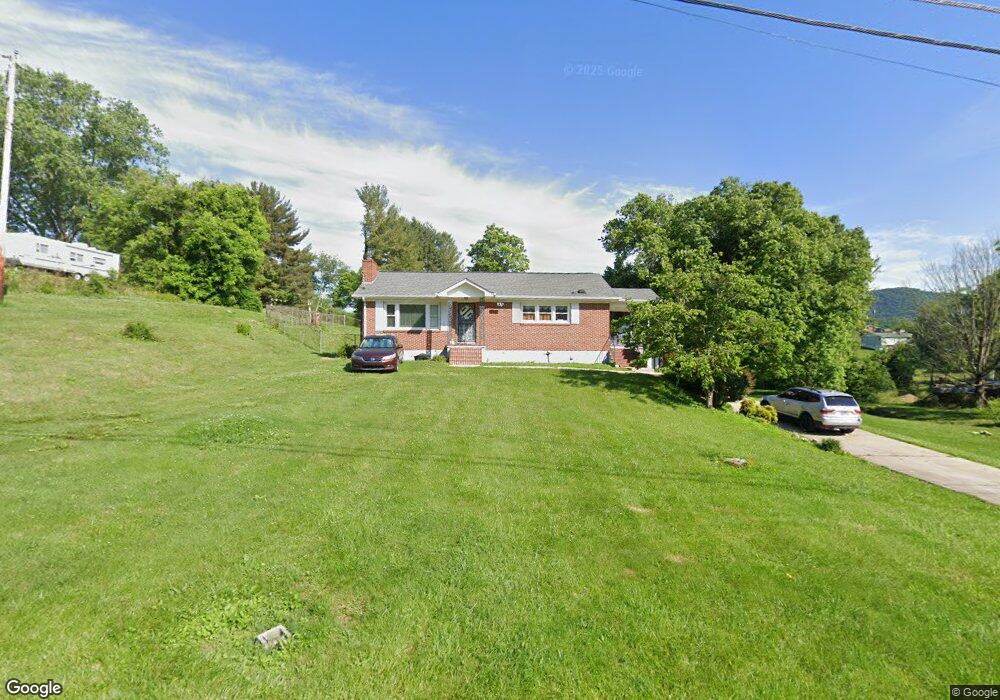
232 Rutledge St Bristol, TN 37620
Estimated Value: $255,752 - $291,000
4
Beds
1
Bath
2,348
Sq Ft
$117/Sq Ft
Est. Value
About This Home
This home is located at 232 Rutledge St, Bristol, TN 37620 and is currently estimated at $275,438, approximately $117 per square foot. 232 Rutledge St is a home located in Sullivan County with nearby schools including Bluff City Elementary School, Sullivan East Middle School, and Sullivan East High School.
Ownership History
Date
Name
Owned For
Owner Type
Purchase Details
Closed on
Jul 13, 2012
Sold by
Pearman Tammy H
Bought by
Pearman Charles W
Current Estimated Value
Purchase Details
Closed on
Aug 8, 2008
Sold by
Carrier Charles W
Bought by
Pearman Charles W
Home Financials for this Owner
Home Financials are based on the most recent Mortgage that was taken out on this home.
Original Mortgage
$128,306
Interest Rate
6.32%
Create a Home Valuation Report for This Property
The Home Valuation Report is an in-depth analysis detailing your home's value as well as a comparison with similar homes in the area
Purchase History
| Date | Buyer | Sale Price | Title Company |
|---|---|---|---|
| Pearman Charles W | -- | -- | |
| Pearman Charles W | $130,000 | -- |
Source: Public Records
Mortgage History
| Date | Status | Borrower | Loan Amount |
|---|---|---|---|
| Previous Owner | Pearman Charles W | $128,306 |
Source: Public Records
Tax History
| Year | Tax Paid | Tax Assessment Tax Assessment Total Assessment is a certain percentage of the fair market value that is determined by local assessors to be the total taxable value of land and additions on the property. | Land | Improvement |
|---|---|---|---|---|
| 2025 | $1,052 | $65,200 | $6,925 | $58,275 |
| 2024 | $814 | $32,600 | $4,350 | $28,250 |
| 2023 | $784 | $32,600 | $4,350 | $28,250 |
| 2022 | $784 | $32,600 | $4,350 | $28,250 |
| 2021 | $784 | $32,600 | $4,350 | $28,250 |
| 2020 | $754 | $32,600 | $4,350 | $28,250 |
| 2019 | $754 | $29,325 | $4,350 | $24,975 |
| 2018 | $748 | $29,325 | $4,350 | $24,975 |
| 2017 | $722 | $29,325 | $4,350 | $24,975 |
| 2016 | $816 | $31,700 | $7,650 | $24,050 |
| 2014 | $731 | $31,696 | $0 | $0 |
Source: Public Records
Map
Nearby Homes
- 216 Lindas Way
- 436 Springfield Dr
- 2030 Vance Tank Rd Unit 1
- 361 Springfield Dr
- 257 Broyles Rd
- 1237 White Top Rd
- 1188 White Top Rd
- TBD Sweet Knobs Trail
- 105 Morse Dr
- 228 Country Meadows Cir
- 229 Country Meadow Cir
- 229 Country Meadows Cir
- 413 Paddle Creek Rd
- Tbd Sportsway Dr
- 4118 Weaver Pike
- 4045 Weaver Pike
- 1026 Deer Harbour Rd
- 3176 Weaver Pike
- 1320 Silver Grove Rd
- 100 Richmond Heights Rd
Your Personal Tour Guide
Ask me questions while you tour the home.