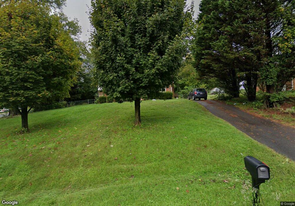
232 Shamrock Ave Mount Airy, NC 27030
Estimated Value: $173,000 - $202,000
2
Beds
1
Bath
1,038
Sq Ft
$181/Sq Ft
Est. Value
About This Home
This home is located at 232 Shamrock Ave, Mount Airy, NC 27030 and is currently estimated at $187,889, approximately $181 per square foot. 232 Shamrock Ave is a home located in Surry County with nearby schools including White Plains Elementary School, J. Sam Gentry Middle School, and North Surry High School.
Ownership History
Date
Name
Owned For
Owner Type
Purchase Details
Closed on
Mar 23, 2021
Sold by
Moser Shawn
Bought by
Mayes Meghan M
Current Estimated Value
Home Financials for this Owner
Home Financials are based on the most recent Mortgage that was taken out on this home.
Original Mortgage
$60,000
Outstanding Balance
$49,356
Interest Rate
2.9%
Mortgage Type
Stand Alone Refi Refinance Of Original Loan
Estimated Equity
$138,533
Purchase Details
Closed on
Mar 5, 2021
Sold by
Moore Carolyn E
Bought by
Moser Shawn
Home Financials for this Owner
Home Financials are based on the most recent Mortgage that was taken out on this home.
Original Mortgage
$60,000
Outstanding Balance
$49,356
Interest Rate
2.9%
Mortgage Type
Stand Alone Refi Refinance Of Original Loan
Estimated Equity
$138,533
Purchase Details
Closed on
Jan 18, 2006
Sold by
Moore Jack H
Bought by
Moore Carolyn E
Purchase Details
Closed on
Apr 1, 1982
Purchase Details
Closed on
Aug 1, 1976
Create a Home Valuation Report for This Property
The Home Valuation Report is an in-depth analysis detailing your home's value as well as a comparison with similar homes in the area
Home Values in the Area
Average Home Value in this Area
Purchase History
| Date | Buyer | Sale Price | Title Company |
|---|---|---|---|
| Mayes Meghan M | $115,000 | None Available | |
| Moser Shawn | $94,500 | None Available | |
| Moore Carolyn E | -- | None Available | |
| -- | $35,000 | -- | |
| -- | -- | -- |
Source: Public Records
Mortgage History
| Date | Status | Borrower | Loan Amount |
|---|---|---|---|
| Open | Mayes Meghan M | $60,000 |
Source: Public Records
Tax History Compared to Growth
Tax History
| Year | Tax Paid | Tax Assessment Tax Assessment Total Assessment is a certain percentage of the fair market value that is determined by local assessors to be the total taxable value of land and additions on the property. | Land | Improvement |
|---|---|---|---|---|
| 2025 | $945 | $151,960 | $13,000 | $138,960 |
| 2024 | $753 | $110,870 | $13,000 | $97,870 |
| 2023 | $724 | $110,870 | $13,000 | $97,870 |
| 2022 | $724 | $110,870 | $13,000 | $97,870 |
| 2021 | $520 | $110,870 | $13,000 | $97,870 |
| 2020 | $290 | $74,520 | $13,000 | $61,520 |
| 2019 | $287 | $74,520 | $0 | $0 |
| 2018 | $283 | $74,520 | $0 | $0 |
| 2017 | $284 | $74,520 | $0 | $0 |
| 2016 | $284 | $74,520 | $0 | $0 |
| 2013 | -- | $74,520 | $0 | $0 |
Source: Public Records
Map
Nearby Homes
- 00 George Chandler Rd
- 140 Nevada Ave
- 154 Lois Ln
- 482 Maple Hollow Rd
- 0 Oak Ridge Dr
- 215 Oak Ridge Place
- 0 Oak Ridge Ct Unit .50 Ac 1105341
- 4285 W Pine St Unit STW
- 111 Rose Trail
- TBD Doris Ave
- 130 Sherry Ln
- 198 Savannah Ln
- 518 Red Brush Rd
- 113 Brekenridge Dr
- 116 Strawberry Ln
- 000 Red Brush Rd
- 0 Red Brush Rd
- 00 Nancy Dr
- 153 Fresh Water Ln
- 000 Sparger Rd
- 88 Laurel Dr
- 220 Shamrock Ave
- 111 Laurel Dr
- 128 Laurel Dr
- 212 Shamrock Ave
- 225 Shamrock Ave
- 136 Laurel Dr
- 106 Laurel Dr
- 107 Inglewood Rd
- 108 Pinehurst Dr
- 204 Shamrock Ave
- 128 Inglewood Rd
- 118 Inglewood Rd
- 161 Inglewood Rd
- 146 Laurel Dr
- 116 Pinehurst Dr
- 142 Inglewood Rd
- 154 Inglewood Rd
- 194 Shamrock Ave
- 171 Inglewood Rd
