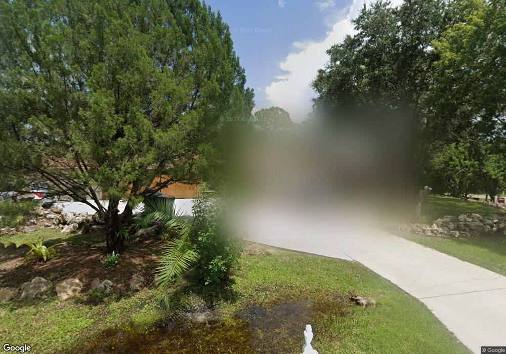
232 Spaulding St Port Charlotte, FL 33953
Northwest Port Charlotte NeighborhoodEstimated Value: $241,471 - $291,000
3
Beds
2
Baths
3,176
Sq Ft
$81/Sq Ft
Est. Value
About This Home
This home is located at 232 Spaulding St, Port Charlotte, FL 33953 and is currently estimated at $258,618, approximately $81 per square foot. 232 Spaulding St is a home located in Charlotte County with nearby schools including Liberty Elementary School, Murdock Middle School, and Port Charlotte High School.
Ownership History
Date
Name
Owned For
Owner Type
Purchase Details
Closed on
May 19, 2015
Sold by
Eldridge Lane
Bought by
Wells Fargo Bank National Association
Current Estimated Value
Purchase Details
Closed on
Oct 24, 1997
Sold by
Eldridge Frank
Bought by
Eldridge Lane and Eldridge Alvina
Home Financials for this Owner
Home Financials are based on the most recent Mortgage that was taken out on this home.
Original Mortgage
$50,006
Interest Rate
7.39%
Create a Home Valuation Report for This Property
The Home Valuation Report is an in-depth analysis detailing your home's value as well as a comparison with similar homes in the area
Home Values in the Area
Average Home Value in this Area
Purchase History
| Date | Buyer | Sale Price | Title Company |
|---|---|---|---|
| Wells Fargo Bank National Association | $60,200 | Attorney | |
| Eldridge Lane | -- | -- |
Source: Public Records
Mortgage History
| Date | Status | Borrower | Loan Amount |
|---|---|---|---|
| Previous Owner | Eldridge Lane | $50,006 |
Source: Public Records
Tax History Compared to Growth
Tax History
| Year | Tax Paid | Tax Assessment Tax Assessment Total Assessment is a certain percentage of the fair market value that is determined by local assessors to be the total taxable value of land and additions on the property. | Land | Improvement |
|---|---|---|---|---|
| 2023 | $3,631 | $149,967 | $0 | $0 |
| 2022 | $3,156 | $170,244 | $20,400 | $149,844 |
| 2021 | $2,807 | $123,940 | $7,140 | $116,800 |
| 2020 | $2,641 | $115,002 | $7,140 | $107,862 |
| 2019 | $2,708 | $121,349 | $7,140 | $114,209 |
| 2018 | $2,476 | $115,911 | $6,630 | $109,281 |
| 2017 | $2,655 | $131,632 | $6,991 | $124,641 |
| 2016 | $2,438 | $110,133 | $0 | $0 |
| 2015 | $1,321 | $56,333 | $0 | $0 |
| 2014 | $1,105 | $55,886 | $0 | $0 |
Source: Public Records
Map
Nearby Homes
- 13162 League Ave
- 200 Friendly St
- 311 Spaulding St
- 13145 Peck Ave
- 263 Spaulding St
- 145 Friendly St
- 176 Hutchins St
- 295 Walters St
- 177-185 Biscayne Dr
- 13104 Peck Ave
- 13333 Doubleday Ave
- 13349 Doubleday Ave
- 13068 Doubleday Ave
- 13381 Doubleday Ave
- 13192 Ave
- 302 & 310 Friendly St
- 13121 Ketridge Ave
- 254 Biscayne Dr
- 13173 Gotham Ave
- 13071 Peck Ave
- 216 Spaulding St
- 342 Spaulding St
- 278 Spaulding St
- 270 Spaulding St
- 335 Spaulding St
- 254 Spaulding St
- 128 Spaulding St
- 13171 League Ave
- 208 Spaulding St
- 13163 League Ave
- 255 Friendly St
- 262 Spaulding St
- 13147 League Ave
- 184 Spaulding St
- 271 Friendly St
- 13140 Doubleday Ave
- 13139 Doubleday Ave
- 176 Spaulding St
- 270 Craemer St
- 13132 Dunlap Ave