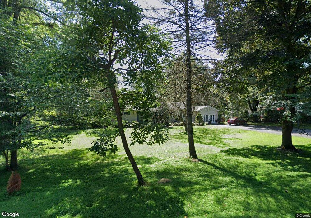
232 Spencer Rd Basking Ridge, NJ 07920
Estimated Value: $833,381 - $948,000
Studio
--
Bath
1,664
Sq Ft
$544/Sq Ft
Est. Value
About This Home
This home is located at 232 Spencer Rd, Basking Ridge, NJ 07920 and is currently estimated at $904,595, approximately $543 per square foot. 232 Spencer Rd is a home located in Somerset County with nearby schools including Oak Street Elementary School, William Annin Middle School, and Ridge High School.
Ownership History
Date
Name
Owned For
Owner Type
Purchase Details
Closed on
Dec 20, 2007
Sold by
Brown Alan and Brown Barbara
Bought by
Jobbagy Zsolt and Gaal Tunde
Current Estimated Value
Home Financials for this Owner
Home Financials are based on the most recent Mortgage that was taken out on this home.
Original Mortgage
$134,000
Interest Rate
5.91%
Mortgage Type
Stand Alone Second
Purchase Details
Closed on
Aug 16, 2000
Sold by
Mcintire John
Bought by
Brown Alan and Brown Barbara
Home Financials for this Owner
Home Financials are based on the most recent Mortgage that was taken out on this home.
Original Mortgage
$225,000
Interest Rate
8.13%
Purchase Details
Closed on
Jan 24, 1995
Sold by
Owen Jacqueline
Bought by
Mcintire John
Home Financials for this Owner
Home Financials are based on the most recent Mortgage that was taken out on this home.
Original Mortgage
$202,000
Interest Rate
9.24%
Create a Home Valuation Report for This Property
The Home Valuation Report is an in-depth analysis detailing your home's value as well as a comparison with similar homes in the area
Home Values in the Area
Average Home Value in this Area
Purchase History
| Date | Buyer | Sale Price | Title Company |
|---|---|---|---|
| Jobbagy Zsolt | $580,000 | New Jersey Title Ins Co | |
| Brown Alan | $369,000 | -- | |
| Mcintire John | $256,000 | -- |
Source: Public Records
Mortgage History
| Date | Status | Borrower | Loan Amount |
|---|---|---|---|
| Closed | Jobbagy Zsolt | $134,000 | |
| Previous Owner | Brown Alan | $225,000 | |
| Previous Owner | Mcintire John | $202,000 |
Source: Public Records
Tax History
| Year | Tax Paid | Tax Assessment Tax Assessment Total Assessment is a certain percentage of the fair market value that is determined by local assessors to be the total taxable value of land and additions on the property. | Land | Improvement |
|---|---|---|---|---|
| 2025 | $11,391 | $730,100 | $391,000 | $339,100 |
| 2024 | $11,391 | $640,300 | $357,800 | $282,500 |
| 2023 | $10,863 | $576,000 | $357,800 | $218,200 |
| 2022 | $11,306 | $562,200 | $357,800 | $204,400 |
| 2021 | $11,561 | $547,900 | $357,800 | $190,100 |
| 2020 | $11,211 | $535,400 | $369,900 | $165,500 |
| 2019 | $10,939 | $537,800 | $369,900 | $167,900 |
| 2018 | $10,925 | $544,900 | $371,600 | $173,300 |
| 2017 | $10,886 | $547,300 | $371,600 | $175,700 |
| 2016 | $10,395 | $532,800 | $371,600 | $161,200 |
| 2015 | $10,057 | $524,900 | $361,600 | $163,300 |
| 2014 | $9,210 | $476,200 | $323,200 | $153,000 |
Source: Public Records
Map
Nearby Homes
Your Personal Tour Guide
Ask me questions while you tour the home.