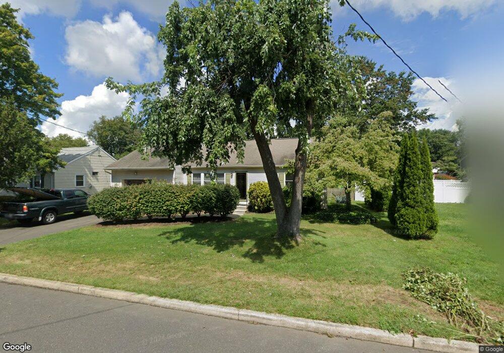
232 Sunset Ave Hightstown, NJ 08520
Estimated Value: $432,358 - $596,000
Studio
--
Bath
2,006
Sq Ft
$260/Sq Ft
Est. Value
About This Home
This home is located at 232 Sunset Ave, Hightstown, NJ 08520 and is currently estimated at $521,340, approximately $259 per square foot. 232 Sunset Ave is a home located in Mercer County with nearby schools including Melvin H. Kreps Middle School, Hightstown High School, and SciCore Academy.
Ownership History
Date
Name
Owned For
Owner Type
Purchase Details
Closed on
Dec 13, 2017
Sold by
White Donald W and White Joanne Elko
Bought by
White Donald W
Current Estimated Value
Home Financials for this Owner
Home Financials are based on the most recent Mortgage that was taken out on this home.
Original Mortgage
$127,500
Outstanding Balance
$107,372
Interest Rate
3.95%
Mortgage Type
New Conventional
Estimated Equity
$413,968
Purchase Details
Closed on
Nov 27, 1990
Sold by
Geller Samuel and Geller Beverly
Bought by
White Donad W and White Joanne
Create a Home Valuation Report for This Property
The Home Valuation Report is an in-depth analysis detailing your home's value as well as a comparison with similar homes in the area
Home Values in the Area
Average Home Value in this Area
Purchase History
| Date | Buyer | Sale Price | Title Company |
|---|---|---|---|
| White Donald W | -- | None Available | |
| White Donad W | $85,000 | -- | |
| White Donald W | $85,000 | -- |
Source: Public Records
Mortgage History
| Date | Status | Borrower | Loan Amount |
|---|---|---|---|
| Open | White Donald W | $127,500 |
Source: Public Records
Tax History
| Year | Tax Paid | Tax Assessment Tax Assessment Total Assessment is a certain percentage of the fair market value that is determined by local assessors to be the total taxable value of land and additions on the property. | Land | Improvement |
|---|---|---|---|---|
| 2025 | $9,767 | $199,200 | $87,500 | $111,700 |
| 2024 | $9,667 | $199,200 | $87,500 | $111,700 |
Source: Public Records
Map
Nearby Homes
Your Personal Tour Guide
Ask me questions while you tour the home.