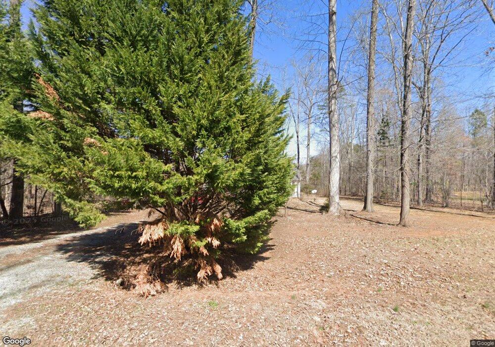
232 Thorncrest Dr Timberlake, NC 27583
Estimated Value: $287,000 - $336,000
3
Beds
2
Baths
1,305
Sq Ft
$241/Sq Ft
Est. Value
About This Home
This home is located at 232 Thorncrest Dr, Timberlake, NC 27583 and is currently estimated at $315,011, approximately $241 per square foot. 232 Thorncrest Dr is a home located in Person County with nearby schools including Person High School.
Ownership History
Date
Name
Owned For
Owner Type
Purchase Details
Closed on
Aug 17, 2022
Sold by
Vaughan Tracey N and Vaughan Dale Calen
Bought by
Lough Brendan
Current Estimated Value
Purchase Details
Closed on
Apr 10, 2016
Sold by
Holder Jeremy Todd and Holder Lori Ann
Bought by
Mccormick Jennifer Lynn Walker
Home Financials for this Owner
Home Financials are based on the most recent Mortgage that was taken out on this home.
Original Mortgage
$121,600
Interest Rate
3.25%
Mortgage Type
Adjustable Rate Mortgage/ARM
Purchase Details
Closed on
Sep 5, 2008
Sold by
Brian Page Builder Inc
Bought by
Holder Jeremy Todd and Holder Lori Ann
Home Financials for this Owner
Home Financials are based on the most recent Mortgage that was taken out on this home.
Original Mortgage
$149,091
Interest Rate
6.61%
Mortgage Type
FHA
Purchase Details
Closed on
Nov 16, 2007
Sold by
K And L Properties
Bought by
Brian Page Builder Inc
Create a Home Valuation Report for This Property
The Home Valuation Report is an in-depth analysis detailing your home's value as well as a comparison with similar homes in the area
Purchase History
| Date | Buyer | Sale Price | Title Company |
|---|---|---|---|
| Lough Brendan | $280,000 | Arnette Law Offices Pllc | |
| Mccormick Jennifer Lynn Walker | -- | None Available | |
| Holder Jeremy Todd | $150,000 | -- | |
| Brian Page Builder Inc | $91,500 | -- |
Source: Public Records
Mortgage History
| Date | Status | Borrower | Loan Amount |
|---|---|---|---|
| Previous Owner | Mccormick Jennifer Lynn Walker | $121,600 | |
| Previous Owner | Holder Jeremy Todd | $149,091 |
Source: Public Records
Tax History Compared to Growth
Tax History
| Year | Tax Paid | Tax Assessment Tax Assessment Total Assessment is a certain percentage of the fair market value that is determined by local assessors to be the total taxable value of land and additions on the property. | Land | Improvement |
|---|---|---|---|---|
| 2025 | $1,822 | $269,563 | $0 | $0 |
| 2024 | $1,425 | $182,399 | $0 | $0 |
| 2023 | $1,425 | $182,399 | $0 | $0 |
| 2022 | $1,420 | $182,399 | $0 | $0 |
| 2021 | $1,379 | $182,399 | $0 | $0 |
| 2020 | $1,103 | $145,396 | $0 | $0 |
| 2019 | $1,117 | $145,396 | $0 | $0 |
| 2018 | $1,048 | $145,396 | $0 | $0 |
| 2017 | $1,034 | $145,396 | $0 | $0 |
| 2016 | $1,034 | $145,396 | $0 | $0 |
| 2015 | $1,034 | $145,396 | $0 | $0 |
| 2014 | $1,034 | $145,396 | $0 | $0 |
Source: Public Records
Map
Nearby Homes
- Lot 21 Shannon Ct
- 30 Shannon Ct
- 100 River Bend Dr
- 90 S Old Lantern Rd
- 175 Cardens Cove Rd
- Lots 9a/9b Woody Dr
- 8580 Durham Rd
- 477 Chambers Loop Rd
- 425 Foxcroft Dr
- 171 Helena Moriah Rd
- 125 Al Gray Rd
- Lot 3 Helena Moriah Rd
- Lot 2 Helena Moriah Rd
- 735 Harris Mill Rd
- 105 Misty Hollow Rd
- 38 Bragg Ln
- 273 Chloe Marie Ln
- 475 Jim Moore Rd
- 109 Equestrian Chase
- 55 Running Deer Path
- 200 Thorncrest Dr
- Lot 22 Thorncrest Dr
- 0 Thorncrest Dr Unit 1758434
- 0 Thorncrest Dr Unit 1786704
- 0 Thorncrest Dr Unit 1786732
- 0 Thorncrest Dr Unit 1786737
- 0 Thorncrest Dr Unit 1786995
- 0 Thorncrest Dr Unit 1786744
- 0 Thorncrest Dr Unit 1786825
- 0 Thorncrest Dr Unit 1786956
- 0 Thorncrest Dr Unit 1786970
- 0 Thorncrest Dr Unit 1786975
- 0 Thorncrest Dr Unit 1786951
- 0 Thorncrest Dr Unit 1786944
- 0 Thorncrest Dr Unit 1786756
- 0 Thorncrest Dr Unit 1786759
- 0 Thorncrest Dr Unit 1786793
- 0 Thorncrest Dr Unit 1787042
- 1 Thorncrest Dr
- 21 Thorncrest Dr
