232 W Side Ln Unit Lane Powells Point, NC 27966
Southern Currituck NeighborhoodEstimated Value: $495,780 - $601,000
3
Beds
4
Baths
2,503
Sq Ft
$222/Sq Ft
Est. Value
About This Home
This home is located at 232 W Side Ln Unit Lane, Powells Point, NC 27966 and is currently estimated at $555,945, approximately $222 per square foot. 232 W Side Ln Unit Lane is a home located in Currituck County with nearby schools including Jarvisburg Elementary School, Currituck County Middle School, and Currituck County High School.
Ownership History
Date
Name
Owned For
Owner Type
Purchase Details
Closed on
Feb 5, 2021
Sold by
Wingo Mason and Wingo Jane
Bought by
Wingo Richard Carlton and Wingo Terri Lowry
Current Estimated Value
Purchase Details
Closed on
Jul 13, 2012
Sold by
Lynch Eddie J and Lynch Barbara S
Bought by
Wingo Mason and Wingo Jane
Create a Home Valuation Report for This Property
The Home Valuation Report is an in-depth analysis detailing your home's value as well as a comparison with similar homes in the area
Home Values in the Area
Average Home Value in this Area
Purchase History
| Date | Buyer | Sale Price | Title Company |
|---|---|---|---|
| Wingo Richard Carlton | -- | None Available | |
| Wingo Mason | $265,000 | None Available |
Source: Public Records
Tax History Compared to Growth
Tax History
| Year | Tax Paid | Tax Assessment Tax Assessment Total Assessment is a certain percentage of the fair market value that is determined by local assessors to be the total taxable value of land and additions on the property. | Land | Improvement |
|---|---|---|---|---|
| 2024 | $2,083 | $293,300 | $40,100 | $253,200 |
| 2023 | $2,074 | $293,300 | $40,100 | $253,200 |
| 2022 | $1,588 | $293,300 | $40,100 | $253,200 |
| 2021 | $1,580 | $261,100 | $47,300 | $213,800 |
| 2020 | $1,403 | $261,100 | $47,300 | $213,800 |
| 2019 | $1,403 | $261,100 | $47,300 | $213,800 |
| 2018 | $0 | $261,100 | $47,300 | $213,800 |
| 2017 | $1,367 | $261,100 | $47,300 | $213,800 |
| 2016 | $1,367 | $261,100 | $47,300 | $213,800 |
| 2015 | -- | $261,100 | $47,300 | $213,800 |
Source: Public Records
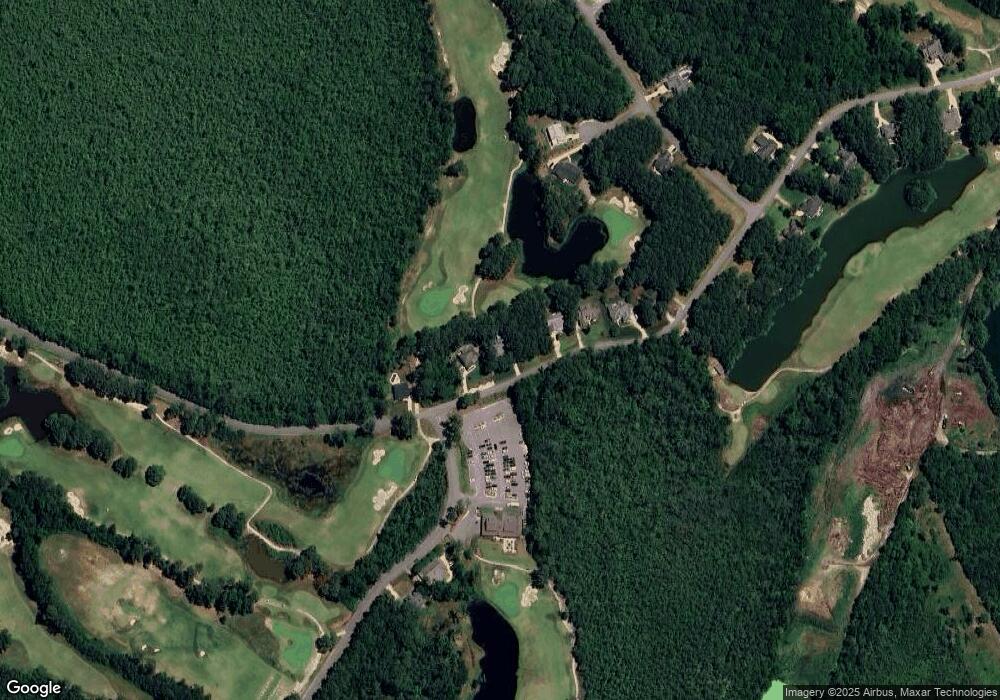
Map
Nearby Homes
- 0 West Unit Lane 22847679
- 167 W Side Ln Unit Lot 5
- 203 W Side Ln Unit Lot 13
- 0 W Side Ln
- 100 Sullivans Ct Unit Lot 49
- 133 Kilmarlic Club Unit Lot 71
- 186 W Side Ln Unit 19
- 149 Long Point Cir Unit Lot 43
- 101 Brae Burn Dr Unit Lot 144
- 169 Kilmarlic Club Dr Unit Lot 80
- 102 Huyla Ct Unit Lot 2
- 269 Kilmarlic Club Dr Unit Lot 127
- 101 Captain's Way Unit Lot 135
- 8533 Caratoke Hwy
- 164 Foster Forbes Rd Unit Lot97M
- 164 Foster Forbes Rd
- 8109 Caratoke Hwy
- 147 Hog Quarter Rd Unit Lot 6
- 315 Harbinger Ridge Rd Unit Lot 4
- 324 Harbinger Ridge Rd Unit Lot 3
- 232 W Side Ln Unit 65
- 232 Westside Ln
- 236 W Side Ln Unit Lane
- 236 W Side Ln Unit 66
- 0 West Unit Lane 68468
- 0 West Unit Lane 71120
- 0 West Unit Lane 77752
- 0 West Unit Lane 118763
- 175 W Side Ln
- 159 W Side Ln
- 224 West Unit Lane
- 232 West Unit Lane
- 220 Westside Ln
- 216 West Side Ln
- 216 W Side Ln Unit 61
- 216 W Side Ln Unit Lane
- 210 West Unit Lane
- 105 Sullivans Ct
- 103 Sullivans Ct
- 207 W Side Ln Unit Lane