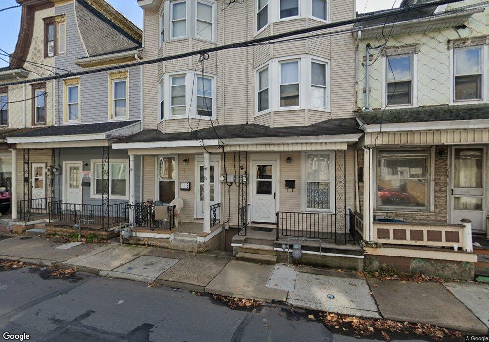
232 W Walnut St Shamokin, PA 17872
Estimated Value: $53,000 - $71,000
--
Bed
--
Bath
--
Sq Ft
871
Sq Ft Lot
About This Home
This home is located at 232 W Walnut St, Shamokin, PA 17872 and is currently estimated at $65,631. 232 W Walnut St is a home located in Northumberland County with nearby schools including Shamokin Area Elementary School, Shamokin Area Middle School, and Shamokin Area High School.
Ownership History
Date
Name
Owned For
Owner Type
Purchase Details
Closed on
Jul 23, 2018
Sold by
Madden Dennis and Madden Dennis M
Bought by
Relentless Realty Llc
Current Estimated Value
Home Financials for this Owner
Home Financials are based on the most recent Mortgage that was taken out on this home.
Original Mortgage
$28,800
Outstanding Balance
$25,015
Interest Rate
4.6%
Mortgage Type
Commercial
Estimated Equity
$40,616
Purchase Details
Closed on
Dec 27, 2012
Sold by
Kemp Robert and Schnieder Margaret L
Bought by
Madden Dennis and Madden Lynn
Create a Home Valuation Report for This Property
The Home Valuation Report is an in-depth analysis detailing your home's value as well as a comparison with similar homes in the area
Home Values in the Area
Average Home Value in this Area
Purchase History
| Date | Buyer | Sale Price | Title Company |
|---|---|---|---|
| Relentless Realty Llc | $12,000 | None Available | |
| Madden Dennis | $9,000 | None Available |
Source: Public Records
Mortgage History
| Date | Status | Borrower | Loan Amount |
|---|---|---|---|
| Open | Relentless Realty Llc | $28,800 |
Source: Public Records
Tax History Compared to Growth
Tax History
| Year | Tax Paid | Tax Assessment Tax Assessment Total Assessment is a certain percentage of the fair market value that is determined by local assessors to be the total taxable value of land and additions on the property. | Land | Improvement |
|---|---|---|---|---|
| 2025 | $1,101 | $8,150 | $250 | $7,900 |
| 2024 | $1,035 | $8,150 | $250 | $7,900 |
| 2023 | $1,035 | $8,150 | $250 | $7,900 |
| 2022 | $1,020 | $8,150 | $250 | $7,900 |
| 2021 | $1,007 | $8,150 | $250 | $7,900 |
| 2020 | $996 | $8,150 | $250 | $7,900 |
| 2019 | $981 | $8,150 | $250 | $7,900 |
| 2018 | $972 | $8,150 | $250 | $7,900 |
| 2017 | $936 | $8,150 | $250 | $7,900 |
| 2016 | -- | $8,150 | $250 | $7,900 |
| 2015 | -- | $8,150 | $250 | $7,900 |
| 2014 | -- | $8,150 | $250 | $7,900 |
Source: Public Records
Map
Nearby Homes
- 549 N 6th St
- 247 W Walnut St
- 233 W Sunbury St
- 132 N 8th St
- 29 E Sunbury St
- 17 N Anthracite St
- 19 S 3rd St
- 12 S 3rd St
- 17 N Grant St
- 123 S 5th St
- 12 S Grant St
- 114 S 5th St
- 1 N Grant St
- 140 S Market St
- 115 N Marshall St
- 127 E Sunbury St
- 207 S 6th St
- 212 E Chestnut St
- 619 W Pine St
- 117 N Oak St Unit 119
- 230 W Walnut St
- 234 W Walnut St
- 228 W Walnut St
- 236 W Walnut St
- 226 W Walnut St
- 238 W Walnut St
- 242 W Walnut St
- 218 W Walnut St
- 510 N Coal St
- 508 N Coal St
- 244 W Walnut St Unit 246
- 513 N 6th St
- 216 W Walnut St
- 229 W Walnut St
- 517 N Coal St Unit 519
- 506 N Coal St
- 511 N 6th St
- 237 W Walnut St
- 233 W Walnut St
- 233 W Walnut St