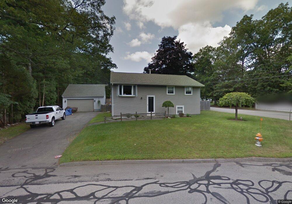
232 Wilson St Marlborough, MA 01752
Estimated Value: $500,828 - $621,000
2
Beds
2
Baths
936
Sq Ft
$598/Sq Ft
Est. Value
About This Home
This home is located at 232 Wilson St, Marlborough, MA 01752 and is currently estimated at $559,957, approximately $598 per square foot. 232 Wilson St is a home located in Middlesex County with nearby schools including Marlborough High School, New Covenant Christian School, and Glenhaven Academy - JRI School.
Ownership History
Date
Name
Owned For
Owner Type
Purchase Details
Closed on
Aug 9, 1991
Sold by
Valerio Linda T
Bought by
Ripley Charles J and Chiasson Gayle
Current Estimated Value
Home Financials for this Owner
Home Financials are based on the most recent Mortgage that was taken out on this home.
Original Mortgage
$108,000
Interest Rate
9.58%
Mortgage Type
Purchase Money Mortgage
Create a Home Valuation Report for This Property
The Home Valuation Report is an in-depth analysis detailing your home's value as well as a comparison with similar homes in the area
Home Values in the Area
Average Home Value in this Area
Purchase History
| Date | Buyer | Sale Price | Title Company |
|---|---|---|---|
| Ripley Charles J | $120,000 | -- |
Source: Public Records
Mortgage History
| Date | Status | Borrower | Loan Amount |
|---|---|---|---|
| Closed | Ripley Charles J | $107,700 | |
| Closed | Ripley Charles J | $108,000 | |
| Previous Owner | Ripley Charles J | $58,300 | |
| Previous Owner | Ripley Charles J | $51,500 |
Source: Public Records
Tax History Compared to Growth
Tax History
| Year | Tax Paid | Tax Assessment Tax Assessment Total Assessment is a certain percentage of the fair market value that is determined by local assessors to be the total taxable value of land and additions on the property. | Land | Improvement |
|---|---|---|---|---|
| 2025 | $4,807 | $487,500 | $231,100 | $256,400 |
| 2024 | $4,687 | $457,700 | $210,100 | $247,600 |
| 2023 | $4,756 | $412,100 | $168,800 | $243,300 |
| 2022 | $4,671 | $356,000 | $160,800 | $195,200 |
| 2021 | $17,125 | $331,700 | $134,000 | $197,700 |
| 2020 | $4,494 | $316,900 | $127,600 | $189,300 |
| 2019 | $4,384 | $311,600 | $125,100 | $186,500 |
| 2018 | $4,301 | $294,000 | $99,500 | $194,500 |
| 2017 | $4,225 | $275,800 | $98,600 | $177,200 |
| 2016 | $4,103 | $267,500 | $98,600 | $168,900 |
| 2015 | $3,861 | $245,000 | $105,900 | $139,100 |
Source: Public Records
Map
Nearby Homes
- 114 Linda Cir
- 109 Westminster Dr Unit 109
- 624 Boston Post Rd E Unit 7
- 608 Boston Post Rd E Unit 11
- 596 Boston Post Rd E Unit 13
- 596 Boston Post Rd E
- 688 Boston Post Rd E Unit 202
- 688 Boston Post Rd E Unit 304
- 688 Boston Post Rd E Unit 100
- 688 Boston Post Rd E Unit 324
- 688 Boston Post Rd E Unit 228
- 23 Victoria Ln
- 271 Boston Post Rd E Unit 4
- 38 Collins Dr
- 261 Boston Post Rd E Unit 1
- 10 Eldorado Dr
- 32 Ethel
- 323 Robert Rd
- 256 Robert Rd
- 17 Mcneil Cir