Estimated Value: $348,460 - $363,000
3
Beds
3
Baths
1,914
Sq Ft
$186/Sq Ft
Est. Value
About This Home
This home is located at 2320 David St, Niles, MI 49120 and is currently estimated at $355,115, approximately $185 per square foot. 2320 David St is a home located in Berrien County with nearby schools including Ottawa Elementary School, Moccasin Elementary School, and Buchanan Middle School.
Ownership History
Date
Name
Owned For
Owner Type
Purchase Details
Closed on
Feb 20, 2003
Sold by
Regal Development North Llc
Bought by
Schmidt Harold E and Schmidt Gisela E
Current Estimated Value
Home Financials for this Owner
Home Financials are based on the most recent Mortgage that was taken out on this home.
Original Mortgage
$144,780
Outstanding Balance
$62,232
Interest Rate
6%
Mortgage Type
Purchase Money Mortgage
Estimated Equity
$292,883
Purchase Details
Closed on
Feb 28, 2000
Create a Home Valuation Report for This Property
The Home Valuation Report is an in-depth analysis detailing your home's value as well as a comparison with similar homes in the area
Home Values in the Area
Average Home Value in this Area
Purchase History
| Date | Buyer | Sale Price | Title Company |
|---|---|---|---|
| Schmidt Harold E | $15,000 | Meridian Title Corp | |
| -- | -- | -- |
Source: Public Records
Mortgage History
| Date | Status | Borrower | Loan Amount |
|---|---|---|---|
| Open | Schmidt Harold E | $144,780 |
Source: Public Records
Tax History
| Year | Tax Paid | Tax Assessment Tax Assessment Total Assessment is a certain percentage of the fair market value that is determined by local assessors to be the total taxable value of land and additions on the property. | Land | Improvement |
|---|---|---|---|---|
| 2025 | $2,616 | $153,300 | $0 | $0 |
| 2024 | $1,038 | $142,900 | $0 | $0 |
| 2023 | $989 | $135,700 | $0 | $0 |
| 2022 | $941 | $121,400 | $0 | $0 |
| 2021 | $2,263 | $121,500 | $7,500 | $114,000 |
| 2020 | $2,233 | $112,000 | $0 | $0 |
| 2019 | $2,192 | $95,800 | $7,500 | $88,300 |
| 2018 | $2,139 | $95,800 | $0 | $0 |
| 2017 | $2,121 | $88,400 | $0 | $0 |
| 2016 | $2,108 | $88,400 | $0 | $0 |
| 2015 | $2,105 | $82,200 | $0 | $0 |
| 2014 | $821 | $76,200 | $0 | $0 |
Source: Public Records
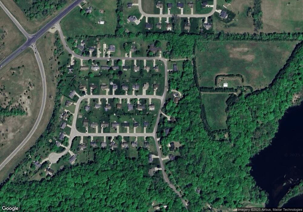
Map
Nearby Homes
- 1919 Jay St
- 2434 Jeffery Ln
- 1209 Morris Dr
- 1705 N Philip Rd
- 1551 Walling Ln
- 1836 Platt St
- 0 Rd
- 1491 Valley View Dr
- 824 N Philip Rd
- 0 Drew Dr Unit Lot 31
- 0 Drew Dr Unit Lot 29
- 0 Drew Dr Unit Lot 22
- 2103 Niles Buchanan Rd
- 103 Lexington Pointe Dr
- 200 Mayflower Rd
- 134 Turfway Park
- 218 Arlington Ln
- 219 Arlington Ln
- V/L Mead Rd
- 43 Longmeadow Ln
- 2330 David St
- 2321 Daniel St
- 2331 David St
- 2340 David St
- 2321 David St
- 1959 Riverside Rd
- 2311 David St
- 1969 Riverside Rd
- 2341 Daniel St
- 1949 Riverside Rd
- 2350 David St
- 2341 David St
- 2330 Daniel St
- 2310 E Geyer Rd
- 2320 E Geyer Rd
- 2340 Daniel St
- 2351 Daniel St
- 2330 E Geyer Rd
- 2351 David St
- 1999 Riverside Rd
Your Personal Tour Guide
Ask me questions while you tour the home.