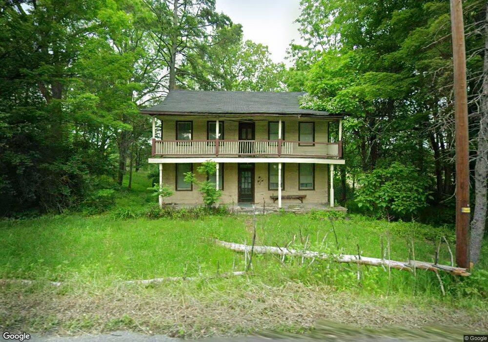
2320 Route 115 Brodheadsville, PA 18322
Brodheadsville NeighborhoodEstimated Value: $357,000 - $600,335
3
Beds
1
Bath
2,134
Sq Ft
$212/Sq Ft
Est. Value
About This Home
This home is located at 2320 Route 115, Brodheadsville, PA 18322 and is currently estimated at $451,834, approximately $211 per square foot. 2320 Route 115 is a home with nearby schools including Pleasant Valley Elementary School, Pleasant Valley Intermediate School, and Pleasant Valley Middle School.
Ownership History
Date
Name
Owned For
Owner Type
Purchase Details
Closed on
Jun 1, 2022
Sold by
Ws Partnership
Bought by
Ws Partnership Llc
Current Estimated Value
Home Financials for this Owner
Home Financials are based on the most recent Mortgage that was taken out on this home.
Original Mortgage
$2,200,000
Outstanding Balance
$2,090,182
Interest Rate
5.1%
Mortgage Type
Credit Line Revolving
Estimated Equity
-$1,638,348
Create a Home Valuation Report for This Property
The Home Valuation Report is an in-depth analysis detailing your home's value as well as a comparison with similar homes in the area
Home Values in the Area
Average Home Value in this Area
Purchase History
| Date | Buyer | Sale Price | Title Company |
|---|---|---|---|
| Ws Partnership Llc | -- | Abe Settlement Services |
Source: Public Records
Mortgage History
| Date | Status | Borrower | Loan Amount |
|---|---|---|---|
| Open | Ws Partnership Llc | $2,200,000 |
Source: Public Records
Tax History Compared to Growth
Tax History
| Year | Tax Paid | Tax Assessment Tax Assessment Total Assessment is a certain percentage of the fair market value that is determined by local assessors to be the total taxable value of land and additions on the property. | Land | Improvement |
|---|---|---|---|---|
| 2025 | $1,632 | $295,750 | $171,980 | $123,770 |
| 2024 | $1,331 | $295,750 | $171,980 | $123,770 |
| 2023 | $6,073 | $295,750 | $171,980 | $123,770 |
| 2022 | $5,907 | $295,750 | $171,980 | $123,770 |
| 2021 | $8,304 | $200,530 | $76,760 | $123,770 |
| 2020 | $5,805 | $200,530 | $76,760 | $123,770 |
| 2019 | $14,513 | $31,540 | $11,870 | $19,670 |
| 2018 | $5,559 | $31,540 | $11,870 | $19,670 |
| 2017 | $5,534 | $31,540 | $11,870 | $19,670 |
| 2016 | -- | $31,540 | $11,870 | $19,670 |
| 2015 | -- | $31,540 | $11,870 | $19,670 |
| 2014 | -- | $29,400 | $9,730 | $19,670 |
Source: Public Records
Map
Nearby Homes
- 1762 United States Route 209
- 232 Rodenbach Ln
- 44 Regency Ln
- 648 Marion Ln
- 1547 Weir Creek Dr
- 103 Silver Valley Rd
- 311 Switzgable Dr
- 423 Cottontail Ln
- 305 Shadow Ridge Dr
- 219 W Scott Ct
- 300 Silver Valley Rd
- 2382 Pennsylvania 115
- 558 Effort Neola Rd
- 219 Robins Ct
- 304 Shady Oaks Dr W
- 2116 James Way
- 1297 Woodstock Dr
- 0 Lr 45003 Unit PM-132004
- 2718 Oak Ln
- 1073 Meixsell Valley Rd
- 137 Erin Ln
- 526 Marion Ln
- 0 Christopher Ln Unit 60
- 0 Christopher Ln Unit 2-2254
- 0 Firehouse Ln Unit 7-5759
- 0 Firehouse Ln Unit PM-60114
- 0 Firehouse Ln Unit 8-5556
- 0 Firehouse Ln
- 2110 Route 115
- 0 Christopher Lane Off Rt 115
- 0 Route 115 Unit 4-5648
- 0 Route 115 Unit 5-708
- 0 Route 115 Unit 7-9556
- 0 Route 115 Unit 7-9557
- 0 Route 115 Unit 6-10981
- 0 Route 115 Unit 2-5907
- 0 Route 115 Unit 3-2369
- 0 Route 115 Unit 7-1225
- 0 Route 115 Unit 7-1216
- 0 Route 115 Unit 6-10968