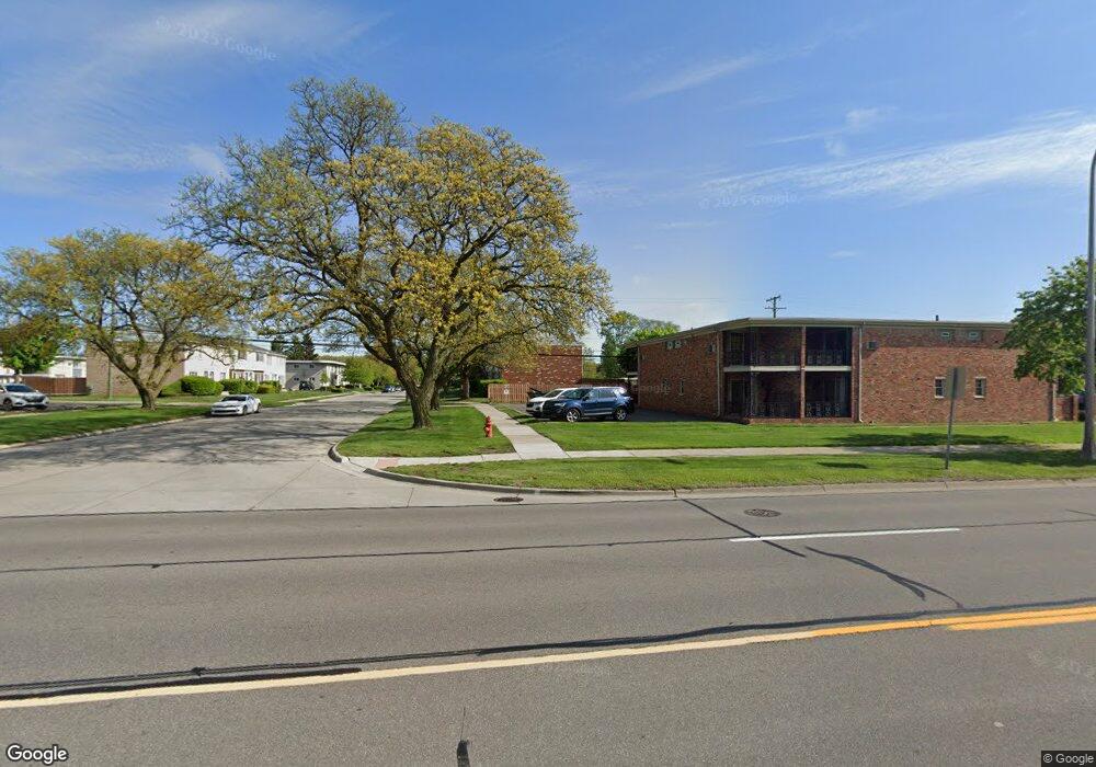
2320 W 14 Mile Rd Unit 21 Royal Oak, MI 48073
Estimated Value: $143,350 - $174,000
1
Bed
1
Bath
632
Sq Ft
$250/Sq Ft
Est. Value
About This Home
This home is located at 2320 W 14 Mile Rd Unit 21, Royal Oak, MI 48073 and is currently estimated at $157,838, approximately $249 per square foot. 2320 W 14 Mile Rd Unit 21 is a home located in Oakland County with nearby schools including Alfred E. Upton Elementary School, Royal Oak Middle School, and Royal Oak High School.
Ownership History
Date
Name
Owned For
Owner Type
Purchase Details
Closed on
Jan 5, 2009
Sold by
Wells Fargo Bank Na
Bought by
Bank Of America National Association
Current Estimated Value
Purchase Details
Closed on
Sep 16, 2008
Sold by
Scott Britt
Bought by
Wells Fargo Bank Na
Purchase Details
Closed on
Sep 9, 2004
Sold by
Anderson Paul M and Anderson Paul
Bought by
Scott Britt
Home Financials for this Owner
Home Financials are based on the most recent Mortgage that was taken out on this home.
Original Mortgage
$82,000
Interest Rate
8.95%
Mortgage Type
Purchase Money Mortgage
Purchase Details
Closed on
Oct 26, 2001
Sold by
Spanish Manor Associates
Bought by
Anderson Paul M
Home Financials for this Owner
Home Financials are based on the most recent Mortgage that was taken out on this home.
Original Mortgage
$57,120
Interest Rate
6.68%
Create a Home Valuation Report for This Property
The Home Valuation Report is an in-depth analysis detailing your home's value as well as a comparison with similar homes in the area
Home Values in the Area
Average Home Value in this Area
Purchase History
| Date | Buyer | Sale Price | Title Company |
|---|---|---|---|
| Bank Of America National Association | -- | None Available | |
| Wells Fargo Bank Na | $87,600 | None Available | |
| Scott Britt | $102,500 | Devon Title Agency | |
| Anderson Paul M | $71,400 | -- |
Source: Public Records
Mortgage History
| Date | Status | Borrower | Loan Amount |
|---|---|---|---|
| Previous Owner | Scott Britt | $82,000 | |
| Previous Owner | Anderson Paul M | $57,120 |
Source: Public Records
Tax History Compared to Growth
Tax History
| Year | Tax Paid | Tax Assessment Tax Assessment Total Assessment is a certain percentage of the fair market value that is determined by local assessors to be the total taxable value of land and additions on the property. | Land | Improvement |
|---|---|---|---|---|
| 2024 | $1,796 | $57,220 | $0 | $0 |
| 2022 | $1,958 | $48,020 | $0 | $0 |
| 2020 | $1,732 | $42,940 | $0 | $0 |
| 2018 | $1,958 | $37,700 | $0 | $0 |
| 2017 | $1,779 | $37,700 | $0 | $0 |
| 2015 | -- | $32,750 | $0 | $0 |
| 2014 | -- | $30,590 | $0 | $0 |
| 2011 | -- | $30,580 | $0 | $0 |
Source: Public Records
Map
Nearby Homes
- 2356 W 14 Mile Rd Unit 1
- 4840 Briarwood Ave Unit 8
- 4859 Mansfield Ave Unit H5
- 4830 Briarwood Ave Unit 2
- 4820 Briarwood Ave Unit 4
- 4625 Leafdale Ave
- 2420 Parmenter Blvd Unit 101
- 2440 Parmenter Blvd Unit 112
- 2425 Torquay Ave Unit 101A
- 4422 Rosewold Ave
- 4921 Crooks Rd Unit M-10
- 4909 Crooks Rd Unit C7
- 4909 Crooks Rd Unit E8
- 4909 Crooks Rd Unit 4
- 4921 N Crooks Rd Unit N-10
- 1823 Torquay Ave
- 2500 Normandy Rd Unit 46
- 2500 Normandy Rd Unit 41
- 2500 Normandy Rd Unit 29
- 2134 Wickham St
- 2324 W 14 Mile Rd
- 2322 W 14 Mile Rd Unit 22
- 2318 W 14 Mile Rd
- 2316 W 14 Mile Rd Unit 19
- 2314 W 14 Mile Rd Unit 18
- 2312 W 14 Mile Rd
- 2308 W 14 Mile Rd Unit 16
- 2304 W 14 Mile Rd Unit 15
- 2336 W 14 Mile Rd Unit 10
- 2338 W 14 Mile Rd
- 2342 W 14 Mile Rd
- 2344 W 14 Mile Rd Unit 7
- 2346 W 14 Mile Rd
- 2348 W 14 Mile Rd Unit 5
- 2354 W 14 Mile Rd Unit 4
- 2352 W 14 Mile Rd Unit 3
- 2350 W 14 Mile Rd
- 2346 W 14 Mile Rd Unit C
- 2350 W 14 Mile Rd Unit 2
- 2318 W 14 Mile Rd Unit 20