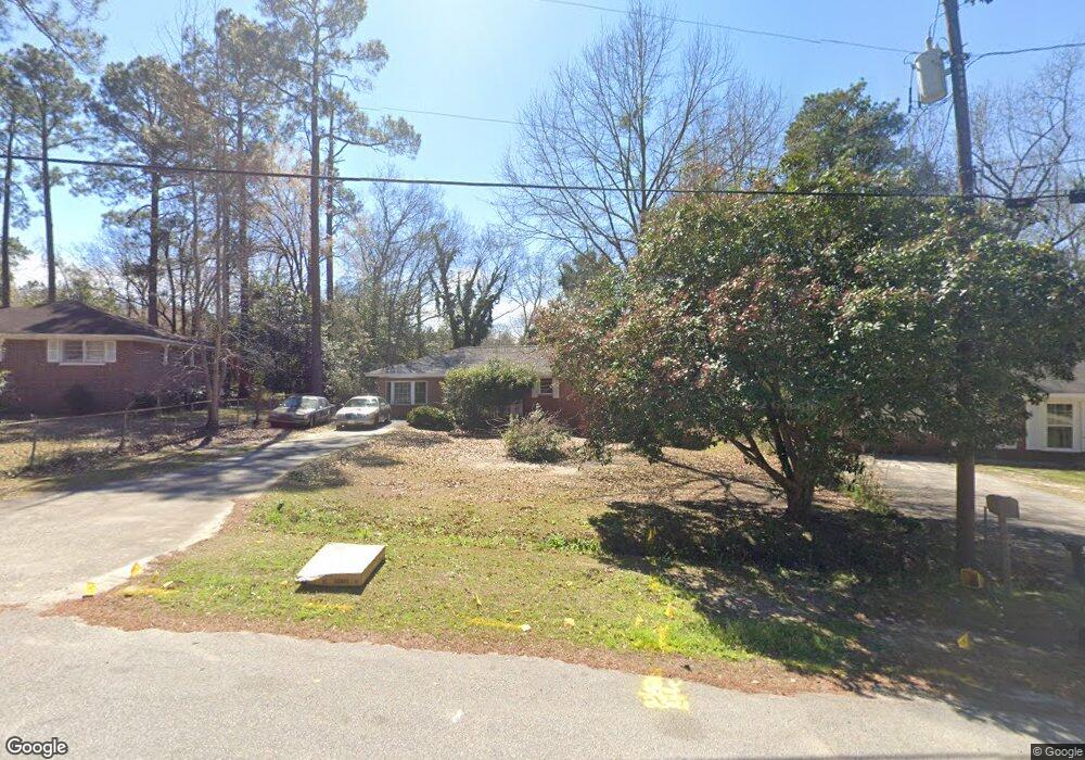
2321 Bristol Dr Macon, GA 31217
Estimated Value: $91,000 - $129,000
3
Beds
2
Baths
1,407
Sq Ft
$76/Sq Ft
Est. Value
About This Home
This home is located at 2321 Bristol Dr, Macon, GA 31217 and is currently estimated at $106,808, approximately $75 per square foot. 2321 Bristol Dr is a home located in Bibb County with nearby schools including Martin Luther King Jr. Elementary School, Appling Middle School, and Northeast High School.
Ownership History
Date
Name
Owned For
Owner Type
Purchase Details
Closed on
Oct 28, 2005
Sold by
Driskell Dorlothy
Bought by
Blackshear Louis D
Current Estimated Value
Home Financials for this Owner
Home Financials are based on the most recent Mortgage that was taken out on this home.
Original Mortgage
$70,300
Outstanding Balance
$37,965
Interest Rate
6%
Mortgage Type
Adjustable Rate Mortgage/ARM
Estimated Equity
$68,843
Purchase Details
Closed on
Dec 3, 2004
Purchase Details
Closed on
Jul 26, 2004
Purchase Details
Closed on
Jul 6, 2004
Create a Home Valuation Report for This Property
The Home Valuation Report is an in-depth analysis detailing your home's value as well as a comparison with similar homes in the area
Home Values in the Area
Average Home Value in this Area
Purchase History
| Date | Buyer | Sale Price | Title Company |
|---|---|---|---|
| Blackshear Louis D | $74,000 | None Available | |
| -- | $72,500 | -- | |
| -- | $30,000 | -- | |
| -- | $26,900 | -- |
Source: Public Records
Mortgage History
| Date | Status | Borrower | Loan Amount |
|---|---|---|---|
| Open | Blackshear Louis D | $70,300 |
Source: Public Records
Tax History Compared to Growth
Tax History
| Year | Tax Paid | Tax Assessment Tax Assessment Total Assessment is a certain percentage of the fair market value that is determined by local assessors to be the total taxable value of land and additions on the property. | Land | Improvement |
|---|---|---|---|---|
| 2025 | $792 | $32,238 | $3,660 | $28,578 |
| 2024 | $819 | $32,238 | $3,660 | $28,578 |
| 2023 | $819 | $32,238 | $3,660 | $28,578 |
| 2022 | $637 | $18,400 | $2,248 | $16,152 |
| 2021 | $514 | $13,526 | $1,498 | $12,028 |
| 2020 | $449 | $11,559 | $1,249 | $10,310 |
| 2019 | $452 | $11,559 | $1,249 | $10,310 |
| 2018 | $873 | $11,559 | $1,249 | $10,310 |
| 2017 | $433 | $11,559 | $1,249 | $10,310 |
| 2016 | $453 | $13,082 | $1,249 | $11,833 |
| 2015 | $661 | $13,498 | $1,665 | $11,833 |
| 2014 | $807 | $14,330 | $2,497 | $11,833 |
Source: Public Records
Map
Nearby Homes
- 2229 New Clinton Rd
- 2130 New Clinton Rd
- 2146 Melton Ave
- 2066 Melton Ave
- 1840 Kinder Kare Dr
- 1818 Kinder Kare Dr
- 875 Artic Cir
- 837 Artic Cir
- 2370 Recreation Rd
- 875 Artic Place
- 4436 Jeffersonville Rd
- 2675 Andy Dr
- 860 Morningside Dr
- 909 Johnson St
- 2720 Jordan Ave
- 2954 Tyler Place
- 2458 Tredway Dr
- 2371 Kensington Rd
- 2792 Skyline Dr
- 2630 Pauladale Dr
- 2327 Bristol Dr
- 230 Bradstone Cir
- 230 Bradstone Cir Unit 4
- 234 Bradstone Cir
- 2333 Bristol Dr
- 226 Bradstone Cir
- 2237 Millerfield Rd
- 2322 Bristol Dr
- 2303 Bristol Dr
- 222 Bradstone Cir
- 2225 Millerfield Rd
- 238 Bradstone Cir
- 2339 Bristol Dr
- 2304 Danbury Dr
- 2302 Bristol Dr
- 218 Bradstone Cir
- 218 Bradstone Cir Unit 43
- 2215 Millerfield Rd
- 2345 Bristol Dr
- 229 Bradstone Cir