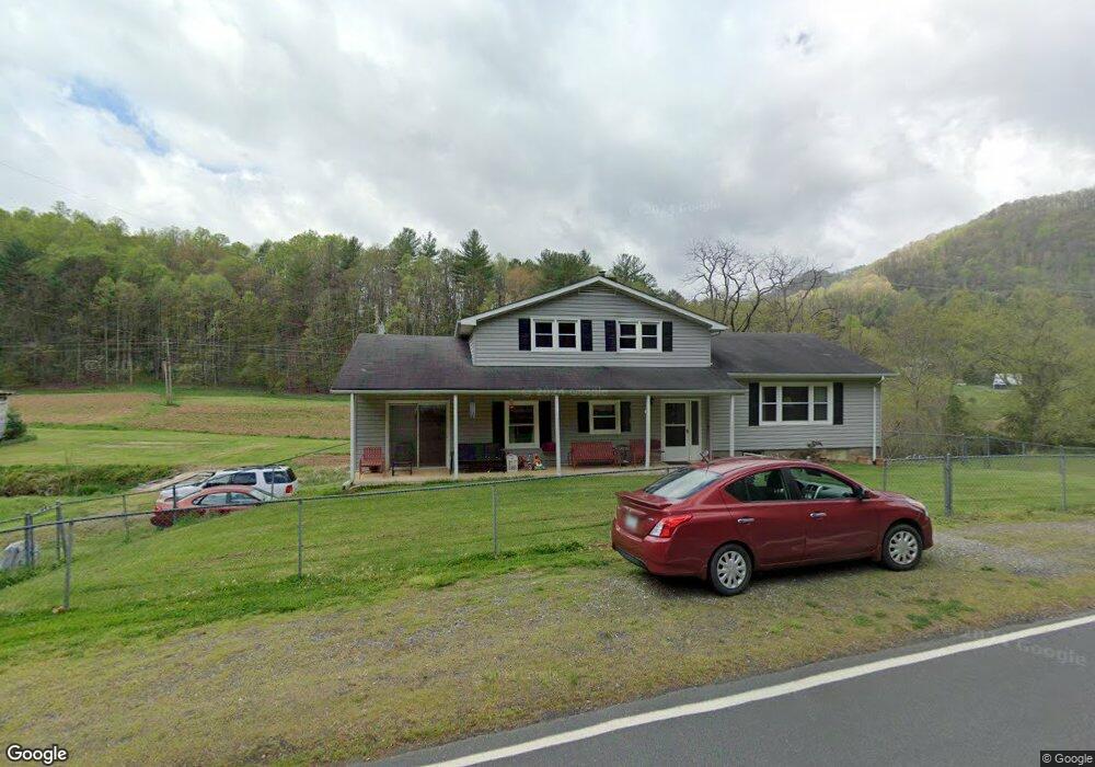
2321 Prices Creek Rd Burnsville, NC 28714
Estimated Value: $798,000 - $1,235,000
3
Beds
3
Baths
3,404
Sq Ft
$300/Sq Ft
Est. Value
About This Home
This home is located at 2321 Prices Creek Rd, Burnsville, NC 28714 and is currently estimated at $1,019,500, approximately $299 per square foot. 2321 Prices Creek Rd is a home with nearby schools including Mountain Heritage High School.
Ownership History
Date
Name
Owned For
Owner Type
Purchase Details
Closed on
May 16, 2025
Sold by
Chandler Ron S and Chandler Beverly
Bought by
Davidson Leah A
Current Estimated Value
Purchase Details
Closed on
Mar 21, 2016
Sold by
Chandler Ron S and Chandler Beverly
Bought by
Elkins Kyle D and Elkins Leslie M
Create a Home Valuation Report for This Property
The Home Valuation Report is an in-depth analysis detailing your home's value as well as a comparison with similar homes in the area
Home Values in the Area
Average Home Value in this Area
Purchase History
| Date | Buyer | Sale Price | Title Company |
|---|---|---|---|
| Davidson Leah A | -- | None Listed On Document | |
| Davidson Leah A | -- | None Listed On Document | |
| Ray Kadence A | -- | None Listed On Document | |
| Ray Kadence A | -- | None Listed On Document | |
| Elkins Kyle D | $4,500 | None Available |
Source: Public Records
Tax History Compared to Growth
Tax History
| Year | Tax Paid | Tax Assessment Tax Assessment Total Assessment is a certain percentage of the fair market value that is determined by local assessors to be the total taxable value of land and additions on the property. | Land | Improvement |
|---|---|---|---|---|
| 2025 | $5,263 | $939,900 | $497,400 | $442,500 |
| 2024 | $5,263 | $939,900 | $497,400 | $442,500 |
| 2023 | $3,609 | $563,900 | $280,200 | $283,700 |
| 2022 | $3,537 | $563,900 | $280,200 | $283,700 |
| 2021 | $3,609 | $563,900 | $280,200 | $283,700 |
| 2020 | $3,609 | $563,900 | $280,200 | $283,700 |
| 2019 | $3,609 | $563,900 | $280,200 | $283,700 |
| 2018 | $3,609 | $563,900 | $280,200 | $283,700 |
| 2017 | $3,609 | $563,900 | $280,200 | $283,700 |
| 2016 | $3,620 | $565,600 | $281,900 | $283,700 |
| 2015 | $3,446 | $638,200 | $337,600 | $300,600 |
| 2014 | $3,446 | $638,200 | $337,600 | $300,600 |
Source: Public Records
Map
Nearby Homes
- 124 Shootout Ln
- 000 Maney Branch Rd
- 456 & 000 Maney Branch Rd
- 456 Maney Branch Rd
- 71 Banks Creek Rd
- TBD Banks Creek Rd
- 40 acres Charity Ln
- 00 McPeters Ln
- 0 McPeters Ln Unit CAR4243841
- 00 Prices Creek Rd
- 867 Indian Creek Rd
- 2395 Hortons Creek Rd
- LOT 13 Austin Mountain Dr Unit 13/3
- 99999 Gordon Way
- 000 Mountain Air Dr
- 300 Dogwood Ln
- 456 Spring House Dr
- 124 W Dogwood Cir
- 324 Austin Mountain Dr
- 296 Austin Mountain Dr
- 2585 Prices Creek Rd
- 2320 Prices Creek Rd
- 2075 Prices Creek Rd
- 2500 Prices Creek Rd
- 113 Daisyfield Dr
- 17 Daisyfield Dr
- 32 Hortons Creek Rd
- 2703 Prices Creek Rd
- 248 Daisyfield Dr
- 122 Daisyfield Dr
- 200 Hortons Creek Rd
- 59 Robinson Ln
- 224 Daisyfield Dr
- 99999 Prices Creek Rd
- 45 Royal Pines Ln
- 366 Hortons Creek Rd
- 287 Daisyfield Dr
- lot # 9 Ned Robinson
- lot 7 Ned Robinson Rd
- lot #1 Ned Robinson Rd