23212 NE Gold Nugget Dr Battle Ground, WA 98604
Estimated Value: $937,000 - $1,193,000
4
Beds
5
Baths
2,304
Sq Ft
$476/Sq Ft
Est. Value
About This Home
This home is located at 23212 NE Gold Nugget Dr, Battle Ground, WA 98604 and is currently estimated at $1,096,604, approximately $475 per square foot. 23212 NE Gold Nugget Dr is a home located in Clark County with nearby schools including Tukes Valley Primary School, Tukes Valley Middle School, and Battle Ground High School.
Ownership History
Date
Name
Owned For
Owner Type
Purchase Details
Closed on
Nov 14, 2020
Sold by
Milam Bryce J
Bought by
Milam Bryce J and Bryce J Milam Revocable Trust
Current Estimated Value
Purchase Details
Closed on
Aug 1, 2008
Sold by
Milam Sonja M
Bought by
Milam Bryce J
Purchase Details
Closed on
Feb 4, 2008
Sold by
Milam Sonja M
Bought by
Milam Bryce J
Create a Home Valuation Report for This Property
The Home Valuation Report is an in-depth analysis detailing your home's value as well as a comparison with similar homes in the area
Home Values in the Area
Average Home Value in this Area
Purchase History
| Date | Buyer | Sale Price | Title Company |
|---|---|---|---|
| Milam Bryce J | -- | None Available | |
| Milam Bryce J | -- | None Available | |
| Milam Bryce J | -- | None Available |
Source: Public Records
Tax History Compared to Growth
Tax History
| Year | Tax Paid | Tax Assessment Tax Assessment Total Assessment is a certain percentage of the fair market value that is determined by local assessors to be the total taxable value of land and additions on the property. | Land | Improvement |
|---|---|---|---|---|
| 2025 | $8,984 | $1,156,131 | $335,262 | $820,869 |
| 2024 | $8,279 | $1,087,989 | $335,262 | $752,727 |
| 2023 | $9,034 | $1,144,846 | $346,608 | $798,238 |
| 2022 | $8,538 | $1,142,320 | $317,034 | $825,286 |
| 2021 | $8,274 | $940,260 | $224,701 | $715,559 |
| 2020 | $8,342 | $833,436 | $239,082 | $594,354 |
| 2019 | $7,171 | $819,739 | $225,142 | $594,597 |
| 2018 | $7,460 | $809,246 | $0 | $0 |
| 2017 | $6,779 | $640,817 | $0 | $0 |
| 2016 | $6,916 | $636,035 | $0 | $0 |
| 2015 | $7,006 | $595,771 | $0 | $0 |
| 2014 | -- | $571,013 | $0 | $0 |
| 2013 | -- | $509,317 | $0 | $0 |
Source: Public Records
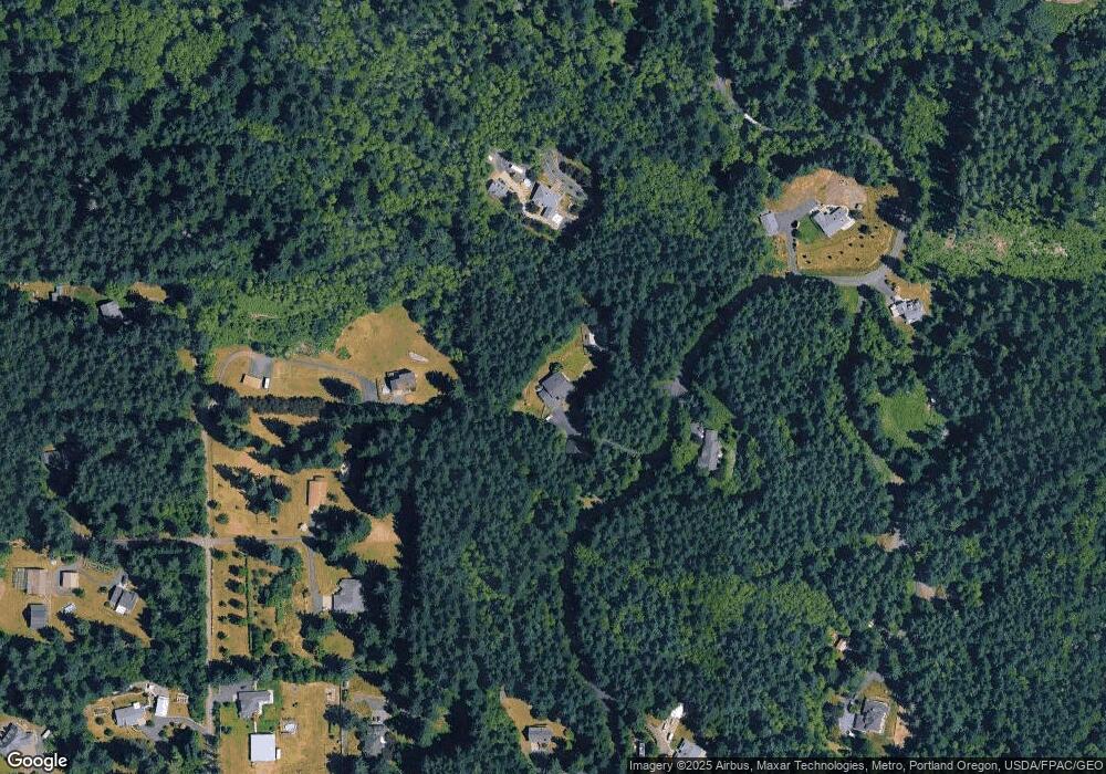
Map
Nearby Homes
- 21821 NE Rock Creek Canyon Rd
- 20607 NE Allworth Rd
- 20015 NE 234th St
- 23417 NE Canyon Rd
- 19815 NE Allworth Rd
- 0 212th Ave
- 22400 NE 216th Cir
- 25307 NE 212th Ave
- 0 NE 212th Ave
- 19301 NE 249th St
- 21017 NE Risto Rd
- 20502 NE 225th Ave
- 24312 NE 224th St
- 22814 NE 182nd Ave
- 22314 NE 182nd Ave
- 18205 NE 249th St
- 24020 NE Alvas Rd
- 22414 NE 200th St
- 19428 NE 259th St
- 24415 NE 219th St
- 23217 NE 209th Ave
- 23215 NE Gold Nugget Dr
- 23506 NE Gold Nugget Dr
- 0 NE Gold Nugget Dr
- 23111 NE 209th Ave
- 23316 NE Gold Nugget Dr
- 23105 NE 209th Ave
- 23000 NE Gold Nugget Dr
- 23321 NE Gold Nugget Dr
- 22911 NE Gold Nugget Dr
- 21016 NE 229th Cir
- 23606 NE Gold Nugget Dr
- 23001 NE 209th Ave
- 23117 NE Quicksilver Dr
- 21201 NE 229th Cir
- 23218 NE 209th Ave
- 23607 NE Gold Nugget Dr
- 21603 NE Allworth Rd
- 21017 NE 229th Cir
- 23112 NE 209th Ave