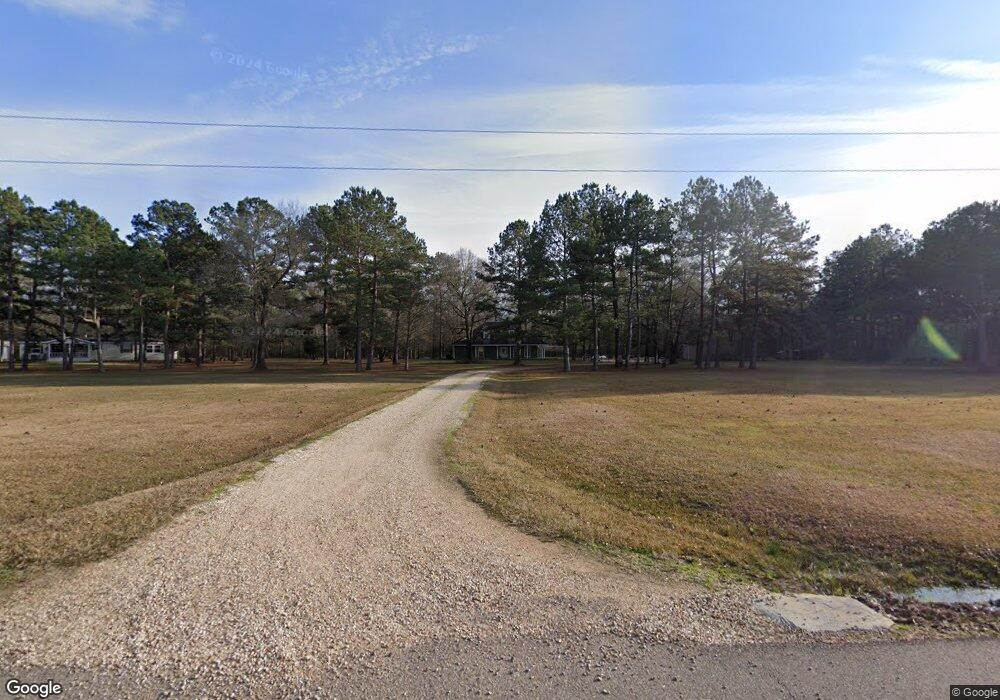
23218 Powell Ln Robert, LA 70455
Estimated Value: $221,000 - $423,000
Studio
--
Bath
2,180
Sq Ft
$132/Sq Ft
Est. Value
About This Home
This home is located at 23218 Powell Ln, Robert, LA 70455 and is currently estimated at $288,645, approximately $132 per square foot. 23218 Powell Ln is a home with nearby schools including Hammond Eastside Magnet and Hammond High Magnet School.
Create a Home Valuation Report for This Property
The Home Valuation Report is an in-depth analysis detailing your home's value as well as a comparison with similar homes in the area
Tax History
| Year | Tax Paid | Tax Assessment Tax Assessment Total Assessment is a certain percentage of the fair market value that is determined by local assessors to be the total taxable value of land and additions on the property. | Land | Improvement |
|---|---|---|---|---|
| 2025 | $1,402 | $14,489 | $1,365 | $13,124 |
| 2024 | $1,396 | $14,489 | $1,365 | $13,124 |
| 2023 | $1,403 | $14,442 | $1,269 | $13,173 |
| 2022 | $1,403 | $14,442 | $1,269 | $13,173 |
| 2021 | $680 | $14,442 | $1,269 | $13,173 |
| 2020 | $1,402 | $14,442 | $1,269 | $13,173 |
| 2019 | $1,398 | $14,442 | $1,269 | $13,173 |
| 2018 | $1,403 | $14,442 | $1,269 | $13,173 |
| 2017 | $1,403 | $14,442 | $1,269 | $13,173 |
| 2016 | $1,403 | $14,442 | $1,269 | $13,173 |
| 2015 | $682 | $14,502 | $1,269 | $13,233 |
| 2014 | $639 | $14,502 | $1,269 | $13,233 |
Source: Public Records
Map
Nearby Homes
- 0 Hwy 445 & Wittie Unit 2507340
- 0 Hwy 445 & Wittie Other Unit 2507340
- 45505 Coleman Rd
- 48177 Savannahwood Dr
- 23010 Savannahwood Dr
- 47013 Rivergate Dr
- 45269 Coleman Rd
- 45267 Coleman Rd
- 47087 Rivergate Dr
- 22514 Gemstone Place
- 0 445 Hwy Unit 2508849
- 22477 Gemstone Place
- 44323 Louisiana 445
- 48088 Louisiana 445
- C-1 Louisiana 445
- 47158 Louisiana 445
- TBD Chemekette Rd
- 23249 Powell Ln
- 23209 Powell Ln
- 23255 Powell Ln
- 23137 Powell Ln
- 23190 Pecan Grove Dr
- 0 Powell Ln
- 23202 Pecan Grove Dr
- 23176 Pecan Grove Dr
- 23214 Pecan Grove Dr
- 23158 Pecan Grove Dr
- 23226 Pecan Grove Dr
- 23238 Pecan Grove Dr
- 23189 Pecan Grove Dr
- 45671 Coleman Rd
- 23122 Pecan Grove Dr
- 23043 Powell Ln
- 23256 Pecan Grove Dr
- 45475 Coleman Rd
- 47609 Cathy Ln
- 23157 Pecan Grove Dr
Your Personal Tour Guide
Ask me questions while you tour the home.