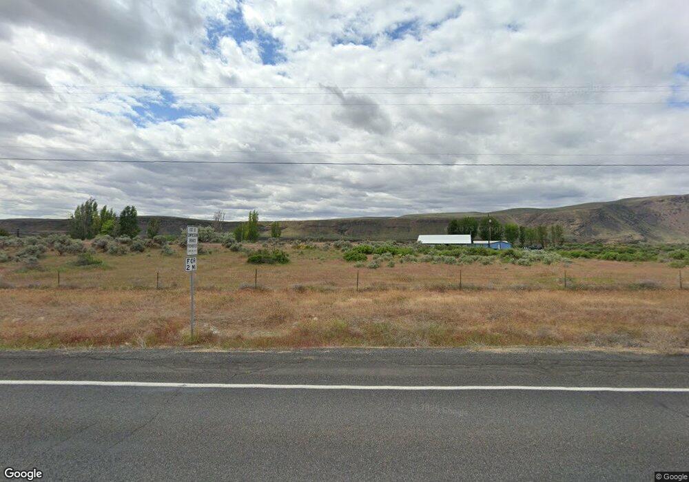
23218 State Highway 17 N Soap Lake, WA 98851
Estimated Value: $453,000 - $560,000
2
Beds
2
Baths
2,706
Sq Ft
$180/Sq Ft
Est. Value
About This Home
This home is located at 23218 State Highway 17 N, Soap Lake, WA 98851 and is currently estimated at $488,014, approximately $180 per square foot. 23218 State Highway 17 N is a home located in Grant County with nearby schools including Soap Lake Elementary School, Soap Lake Middle/High School, and RISE Academy.
Ownership History
Date
Name
Owned For
Owner Type
Purchase Details
Closed on
Jun 10, 2019
Sold by
Oie Robert N and Oie Bridgett A
Bought by
Walters Matthew T and Walters Shannon P
Current Estimated Value
Home Financials for this Owner
Home Financials are based on the most recent Mortgage that was taken out on this home.
Original Mortgage
$279,837
Outstanding Balance
$244,277
Interest Rate
3.75%
Mortgage Type
FHA
Estimated Equity
$243,737
Purchase Details
Closed on
Apr 13, 2005
Sold by
Kiefer Kathleen R
Bought by
Oie Robert N and Oie Bridgett A
Create a Home Valuation Report for This Property
The Home Valuation Report is an in-depth analysis detailing your home's value as well as a comparison with similar homes in the area
Home Values in the Area
Average Home Value in this Area
Purchase History
| Date | Buyer | Sale Price | Title Company |
|---|---|---|---|
| Walters Matthew T | $285,000 | Grant County Title | |
| Oie Robert N | $175,000 | Security Title Guara |
Source: Public Records
Mortgage History
| Date | Status | Borrower | Loan Amount |
|---|---|---|---|
| Open | Walters Matthew T | $279,837 |
Source: Public Records
Tax History Compared to Growth
Tax History
| Year | Tax Paid | Tax Assessment Tax Assessment Total Assessment is a certain percentage of the fair market value that is determined by local assessors to be the total taxable value of land and additions on the property. | Land | Improvement |
|---|---|---|---|---|
| 2024 | $2,879 | $304,013 | $81,240 | $222,773 |
| 2023 | $2,630 | $268,110 | $35,980 | $232,130 |
| 2022 | $2,631 | $268,110 | $35,980 | $232,130 |
| 2021 | $1,992 | $268,110 | $35,980 | $232,130 |
| 2020 | $1,996 | $195,165 | $35,980 | $159,185 |
| 2019 | $1,650 | $167,545 | $35,980 | $131,565 |
| 2018 | $1,853 | $148,850 | $30,450 | $118,400 |
| 2017 | $1,859 | $148,850 | $30,450 | $118,400 |
| 2016 | $1,734 | $134,250 | $30,450 | $103,800 |
| 2013 | -- | $137,915 | $30,450 | $107,465 |
Source: Public Records
Map
Nearby Homes
- 605 NW 23 Rd
- 21190 NE Division 4 Rd
- 21058 State Highway 17 N
- 330 Juniper St N
- 314 Lakeshore Dr
- 0 Washington 17
- 122 Ginko St N
- 0 NNA Division 4 Rd NE
- 814 1st Ave NW
- 116 Fir St N
- 112 Fir St N
- 40 Fir St N
- 30 Hemlock St N
- 1569 Rd 3rd Ave NE
- 215 Elder St N
- 45 Birch St SW
- 114 Elder St S
- 315 Buttercup St S
- 323 Buttercup St S
- 134 4th Ave SE
- 408 Road 23 NW
- 22899 State Highway 17 N
- 23075 State Highway 17 N
- 23203 State Highway 17 N
- 447 Road 23 NW
- 435 Road 23.4 NW
- 469 Road 23 NW
- 435 Road 23 NW
- 22818 State Highway 17 N
- 345 Road 23.4 NW
- 0 L1 Road 23 4 NW
- 340 Road 23.4 NW
- 605 Road 23 NW
- 597 Road 23 NW
- 0 Hwy 17 N
- 9585 State Route 17 N
- 0 Highway 17 N Unit NWM31962481
- 0 Highway 17 N Unit 1822945
- 0 Highway 17 N Unit 1374671
- #KNA Washington 17
