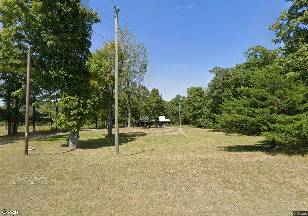
2322 Highway 66 Leslie, AR 72645
Estimated Value: $123,317 - $169,000
2
Beds
1
Bath
1,120
Sq Ft
$125/Sq Ft
Est. Value
About This Home
This home is located at 2322 Highway 66, Leslie, AR 72645 and is currently estimated at $139,579, approximately $124 per square foot. 2322 Highway 66 is a home located in Searcy County with nearby schools including Marshall Elementary School, Leslie Elementary School, and Marshall High School.
Ownership History
Date
Name
Owned For
Owner Type
Purchase Details
Closed on
Dec 2, 2011
Sold by
Griggs Kent
Bought by
Lewis Sharon and Lewis Noel
Current Estimated Value
Purchase Details
Closed on
Oct 1, 2004
Bought by
Lewis Sharon and Lewis Noel
Purchase Details
Closed on
Apr 5, 1999
Bought by
Griggs Kent
Purchase Details
Closed on
Apr 1, 1999
Bought by
George Ronnie D and George Deborah G
Purchase Details
Closed on
May 26, 1972
Bought by
George Asburn D and Betty Fay
Purchase Details
Closed on
Oct 1, 1969
Bought by
George George A and George Betty
Create a Home Valuation Report for This Property
The Home Valuation Report is an in-depth analysis detailing your home's value as well as a comparison with similar homes in the area
Home Values in the Area
Average Home Value in this Area
Purchase History
| Date | Buyer | Sale Price | Title Company |
|---|---|---|---|
| Lewis Sharon | -- | -- | |
| Lewis Sharon | $47,000 | -- | |
| Griggs Kent | $1,000 | -- | |
| George Ronnie D | $10,000 | -- | |
| George Asburn D | -- | -- | |
| George George A | -- | -- |
Source: Public Records
Tax History Compared to Growth
Tax History
| Year | Tax Paid | Tax Assessment Tax Assessment Total Assessment is a certain percentage of the fair market value that is determined by local assessors to be the total taxable value of land and additions on the property. | Land | Improvement |
|---|---|---|---|---|
| 2024 | $640 | $16,230 | $840 | $15,390 |
| 2023 | $586 | $16,230 | $840 | $15,390 |
| 2022 | $586 | $16,230 | $840 | $15,390 |
| 2021 | $533 | $11,210 | $530 | $10,680 |
| 2020 | $533 | $11,210 | $530 | $10,680 |
| 2019 | $496 | $10,050 | $530 | $9,520 |
| 2018 | $496 | $10,050 | $530 | $9,520 |
| 2017 | $478 | $10,050 | $530 | $9,520 |
| 2016 | $467 | $10,050 | $530 | $9,520 |
| 2014 | $429 | $10,050 | $530 | $9,520 |
Source: Public Records
Map
Nearby Homes
- 3894 Begley Creek Rd
- 0 Liberty Rd Unit 1296842
- 610 Cypress St
- 610 High St
- 405 Oak St
- 813 Main St
- 319 Elm St
- 211 Oak St
- 414 Main St
- 103 Lime St
- 396 August Farm Rd
- 1041 Campbell Rd
- 1202 Liberty Rd
- 0 Wilson Ln Unit 23002530
- 1169 Liberty Rd
- 878 Harry Brown Rd
- 935 Standing Alone Rd
- 00 Brooklyn Ln
- 159 Deer Run Rd
- 305 Deer Run Rd
- 301 Apricot Dr
- 2513 Highway 66
- 2513 Hwy 66
- 2551 Arkansas 66
- 0 Hwy 66 Unit 17003975
- 0 Hwy 66 Unit 22004830
- 330 Apricot Dr
- 2086 Highway 66
- 2697 Highway 66
- 1926 Highway 66
- 2806 Highway 66
- 0 Highway 66 Unit 23001686
- 0 Highway 66 Unit 1195574
- 2933 Highway 66
- 378 Watts Cemetery Rd
- 230 Watts Cemetery Rd
- 384 Watts Cemetery Rd
- 3220 Highway 66
- 3293 Highway 66
- 715 Watts Cemetery Rd