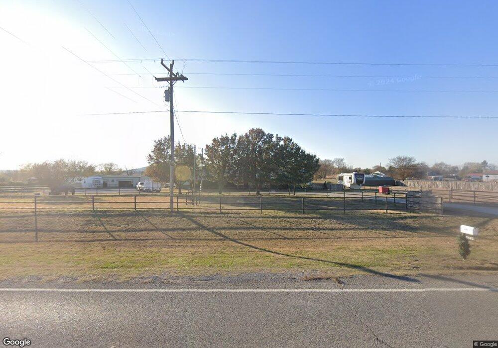
23225 Highway 52 Henryetta, OK 74437
Estimated Value: $270,000 - $386,000
2
Beds
1
Bath
1,840
Sq Ft
$181/Sq Ft
Est. Value
About This Home
This home is located at 23225 Highway 52, Henryetta, OK 74437 and is currently estimated at $333,731, approximately $181 per square foot. 23225 Highway 52 is a home located in Okmulgee County with nearby schools including Morris Elementary School, Morris Middle School, and Morris High School.
Ownership History
Date
Name
Owned For
Owner Type
Purchase Details
Closed on
Oct 28, 2020
Sold by
Smith Gerry D
Bought by
Mason Austin W and Mason Amanda
Current Estimated Value
Home Financials for this Owner
Home Financials are based on the most recent Mortgage that was taken out on this home.
Original Mortgage
$175,750
Outstanding Balance
$156,035
Interest Rate
2.8%
Mortgage Type
New Conventional
Estimated Equity
$177,696
Purchase Details
Closed on
Jul 27, 1994
Sold by
Shannon Willie D
Bought by
Smith Gerry D
Create a Home Valuation Report for This Property
The Home Valuation Report is an in-depth analysis detailing your home's value as well as a comparison with similar homes in the area
Home Values in the Area
Average Home Value in this Area
Purchase History
| Date | Buyer | Sale Price | Title Company |
|---|---|---|---|
| Mason Austin W | $185,000 | None Available | |
| Smith Gerry D | $94,000 | -- |
Source: Public Records
Mortgage History
| Date | Status | Borrower | Loan Amount |
|---|---|---|---|
| Open | Mason Austin W | $175,750 |
Source: Public Records
Tax History Compared to Growth
Tax History
| Year | Tax Paid | Tax Assessment Tax Assessment Total Assessment is a certain percentage of the fair market value that is determined by local assessors to be the total taxable value of land and additions on the property. | Land | Improvement |
|---|---|---|---|---|
| 2025 | $2,934 | $26,984 | $2,326 | $24,658 |
| 2024 | $2,747 | $26,985 | $2,326 | $24,659 |
| 2023 | $2,351 | $24,476 | $2,326 | $22,150 |
| 2022 | $2,248 | $23,310 | $2,326 | $20,984 |
| 2021 | $2,086 | $22,200 | $2,326 | $19,874 |
| 2020 | $1,154 | $13,006 | $1,663 | $11,343 |
| 2019 | $1,131 | $12,628 | $1,580 | $11,048 |
| 2018 | $994 | $12,260 | $1,485 | $10,775 |
| 2017 | $897 | $11,190 | $1,485 | $9,705 |
| 2016 | $864 | $10,865 | $1,411 | $9,454 |
| 2015 | $823 | $10,549 | $1,485 | $9,064 |
| 2014 | $806 | $10,241 | $1,427 | $8,814 |
Source: Public Records
Map
Nearby Homes
- 20319 Grayson Rd
- 20211 Cedar Rd
- 18185 Highway 266
- 0001 S 310 Rd
- 0 S 280 Rd Unit 2544457
- 0 S 310 Rd Unit 2547956
- 15955 Briar Rd
- 14626 Lavender
- 0 E 1010 Rd Unit 2525321
- 0 E 1010 Rd Unit 2525278
- 0 Aster St
- 0 Banyan Rd Unit 2546180
- 24691 Pleasant Ave
- 13975 Cedar Ave
- 103796 S 407 Rd
- 18425 S 270 Rd
- 3 S 320 Rd
- 15085 Box Elder Rd
- 2 Ash Rd
- 1 Ash Rd
- 23235 Highway 52
- 18880 Cherry Rd
- 23235 Oklahoma 52
- 18848 Cherry Rd
- 23000 Highway 52
- 22895 Highway 52
- 18847 Cherry Rd
- 23375 Highway 52
- 23095 S 300 Rd
- 18765 Cherry Rd
- 18715 Cherry Rd
- 18655 Cherry Rd
- 23535 Highway 52
- 103923 S 4071 Rd
- 23535 Oklahoma 52
- 18580 Cherry Rd
- 23615 Highway 52
- 23615 Hwy 52
- 22650 Highway 52