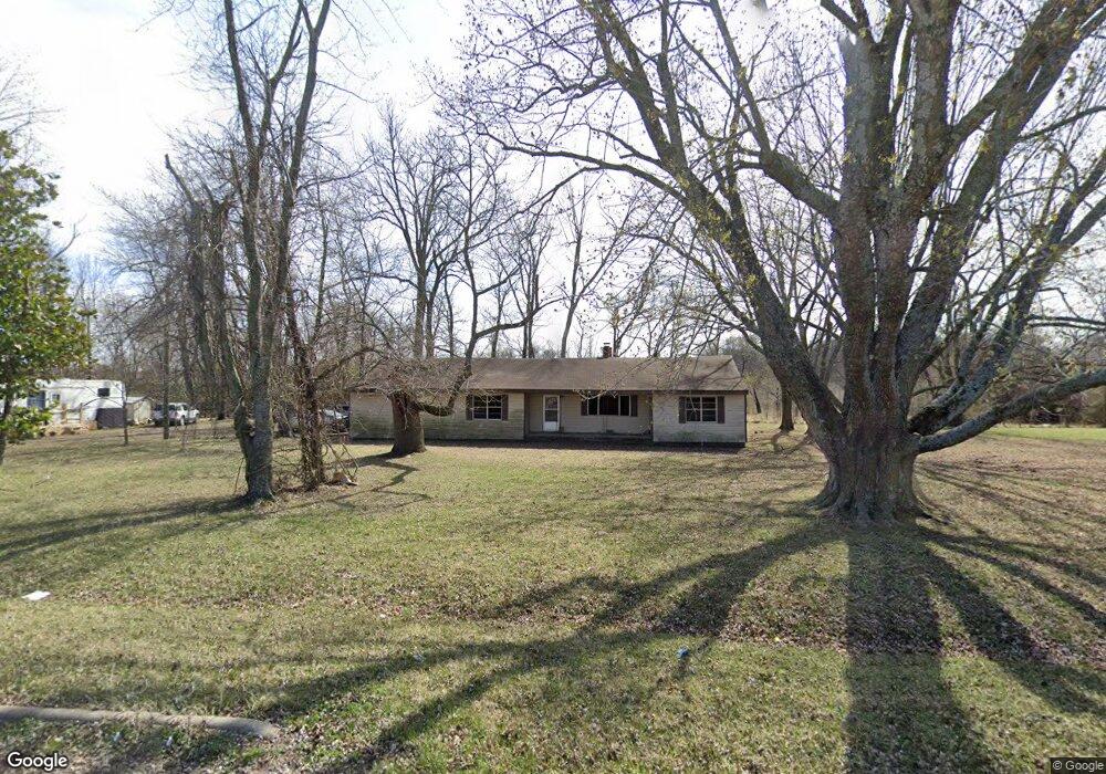
23229 Lawlis Rd Siloam Springs, AR 72761
Estimated Value: $336,000
3
Beds
1
Bath
1,838
Sq Ft
$183/Sq Ft
Est. Value
About This Home
This home is located at 23229 Lawlis Rd, Siloam Springs, AR 72761 and is currently priced at $336,000, approximately $182 per square foot. 23229 Lawlis Rd is a home located in Benton County with nearby schools including Northside Elementary School, Delbert Pete & Pat Allen Elementary School, and Southside Elementary School.
Ownership History
Date
Name
Owned For
Owner Type
Purchase Details
Closed on
May 12, 2015
Sold by
Goswick Sandra
Bought by
Holcomb David
Current Estimated Value
Home Financials for this Owner
Home Financials are based on the most recent Mortgage that was taken out on this home.
Original Mortgage
$80,339
Outstanding Balance
$29,918
Interest Rate
3.71%
Mortgage Type
Future Advance Clause Open End Mortgage
Purchase Details
Closed on
Oct 19, 1970
Bought by
Goswick
Create a Home Valuation Report for This Property
The Home Valuation Report is an in-depth analysis detailing your home's value as well as a comparison with similar homes in the area
Home Values in the Area
Average Home Value in this Area
Purchase History
| Date | Buyer | Sale Price | Title Company |
|---|---|---|---|
| Holcomb David | $100,000 | Waco Title Company | |
| Goswick | $2,700 | -- |
Source: Public Records
Mortgage History
| Date | Status | Borrower | Loan Amount |
|---|---|---|---|
| Open | Holcomb David | $80,339 |
Source: Public Records
Tax History Compared to Growth
Tax History
| Year | Tax Paid | Tax Assessment Tax Assessment Total Assessment is a certain percentage of the fair market value that is determined by local assessors to be the total taxable value of land and additions on the property. | Land | Improvement |
|---|---|---|---|---|
| 2023 | $400 | $7,670 | $2,980 | $4,690 |
| 2022 | $401 | $7,670 | $2,980 | $4,690 |
| 2021 | $400 | $7,670 | $2,980 | $4,690 |
| 2020 | $367 | $7,030 | $2,340 | $4,690 |
| 2019 | $367 | $7,030 | $2,340 | $4,690 |
| 2018 | $367 | $7,030 | $2,340 | $4,690 |
| 2017 | $367 | $7,030 | $2,340 | $4,690 |
| 2016 | $367 | $7,030 | $2,340 | $4,690 |
| 2015 | $1,091 | $25,920 | $12,080 | $13,840 |
| 2014 | $642 | $25,920 | $12,080 | $13,840 |
Source: Public Records
Map
Nearby Homes
- 2607 N Penny St
- 2705 N Penny St
- 911 W Carley Dr
- 905 W Carley Dr
- 909 W Carley Dr
- 615 Dusty Ln
- 806 W Ramsey Dr
- 804 W Ramsey Dr
- 801 W Ramsey Dr
- 814 W Tanner Dr
- 815 W Tanner Dr
- 932 W Aiden Dr
- 905 W Aiden Dr
- 917 W Aiden Dr
- 2304 N Lexington St
- 2309 N Lexington St
- 606 W Fitchberg St
- 405 W Pittsfield
- 2308 N Presley St
- 402A W Cloud Dr
- 2600 N Penny St
- 23215 Lawlis Rd
- 2601 N Penny St
- 23191 Lawlis Rd
- 2603 N Penny St
- 805 Lawlis Rd
- 800 W Carley Dr
- 2605 N Penny St
- 23267 Lawlis Rd
- 2550 Bridle Creek Rd
- 2406 Bridle Creek Rd
- 2402 N Carl St
- 2500 Bridle Creek Rd
- 2404 Bridle Creek Rd
- 99 Carley Crossing
- 84 Carley Crossing
- 811 Lawlis Rd
- 2400 N Carl St
- 23123 B Christopher
- 0 Bridlecreek Rd Unit 586710