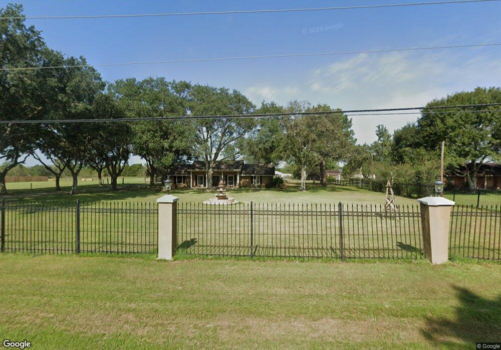
2323 Stevenson Rd Unit 391 Pearland, TX 77581
West Friendswood NeighborhoodEstimated Value: $593,000 - $757,000
4
Beds
4
Baths
2,878
Sq Ft
$237/Sq Ft
Est. Value
About This Home
This home is located at 2323 Stevenson Rd Unit 391, Pearland, TX 77581 and is currently estimated at $681,736, approximately $236 per square foot. 2323 Stevenson Rd Unit 391 is a home located in Brazoria County with nearby schools including Rustic Oak Elementary School, Alexander Middle School, and Pearland Junior High School East.
Ownership History
Date
Name
Owned For
Owner Type
Purchase Details
Closed on
Oct 30, 2025
Sold by
Texas Capital Loans Llc
Bought by
York Morgan Lee and Stowe Rene Alison
Current Estimated Value
Purchase Details
Closed on
May 31, 2019
Sold by
Qureshi Amir A and Qureshi Celine M
Bought by
Rincon Gregory and Rincon Veronica
Home Financials for this Owner
Home Financials are based on the most recent Mortgage that was taken out on this home.
Original Mortgage
$560,000
Interest Rate
4.1%
Mortgage Type
Commercial
Create a Home Valuation Report for This Property
The Home Valuation Report is an in-depth analysis detailing your home's value as well as a comparison with similar homes in the area
Home Values in the Area
Average Home Value in this Area
Purchase History
| Date | Buyer | Sale Price | Title Company |
|---|---|---|---|
| York Morgan Lee | -- | None Listed On Document | |
| Rincon Gregory | -- | American Title Company |
Source: Public Records
Mortgage History
| Date | Status | Borrower | Loan Amount |
|---|---|---|---|
| Previous Owner | Rincon Gregory | $560,000 |
Source: Public Records
Tax History Compared to Growth
Tax History
| Year | Tax Paid | Tax Assessment Tax Assessment Total Assessment is a certain percentage of the fair market value that is determined by local assessors to be the total taxable value of land and additions on the property. | Land | Improvement |
|---|---|---|---|---|
| 2025 | $15,508 | $800,000 | $303,850 | $496,150 |
| 2024 | $15,508 | $944,179 | $376,030 | $568,149 |
| 2023 | $15,508 | $974,920 | $376,030 | $598,890 |
| 2022 | $12,809 | $680,660 | $376,030 | $304,630 |
| 2021 | $12,336 | $630,520 | $325,890 | $304,630 |
| 2020 | $10,142 | $518,290 | $194,420 | $323,870 |
| 2019 | $10,098 | $507,580 | $194,420 | $313,160 |
| 2018 | $10,225 | $510,800 | $210,620 | $300,180 |
| 2017 | $9,400 | $465,570 | $226,830 | $238,740 |
| 2016 | $8,127 | $457,960 | $226,830 | $231,130 |
Source: Public Records
Map
Nearby Homes
- 0 Cr 124 Unit 13541782
- 1605 Gatecreek Dr
- 1540 Hastings Friendswood Rd
- 3521 Dixie Farm Rd
- 1621 Pine Crest Dr
- 1510 Pine Creek Dr
- 1605 Crown Oaks Ct
- 17810 County Road 125
- 1809 Oakland Cir
- 1811 Oakbrook Cir
- 1813 Oak Wood Dr E
- 101 Westfield Ln
- 3902 Oak Wood Dr N
- 1814 Oak Cluster Cir
- 17903 County Road 125
- 1422 Pine Forest Dr
- 1108 Chesterwood Dr
- 1211 Woodchase Dr
- 158 Mooney Rd
- 1107 Chesterwood Dr
- 2327 County Road 391
- 2323 County Road 391
- 2407 County Road 391
- 2303 County Road 391
- 2419 County Road 391
- 2402 County Road 391
- 2438 County Road 391
- 2231 County Road 391
- 1520 Westfield St
- 2227 Stevenson Rd Unit 391
- 17115 County Road 125
- 17106 County Road 125
- 17106 Stevenson Rd Cr 125
- 1534 Westfield St Unit 253
- 1524 Westfield St Unit 253
- 2215 Stevenson Rd Unit 391
- 17112 County Road 125
- 2218 Stevenson Rd Unit 391
- 1626 Westfield Ln
- 2422 Ballis Rd