23233 Hoover Bault Rd Raymond, OH 43067
Estimated Value: $259,000 - $340,301
4
Beds
2
Baths
1,560
Sq Ft
$190/Sq Ft
Est. Value
About This Home
This home is located at 23233 Hoover Bault Rd, Raymond, OH 43067 and is currently estimated at $296,825, approximately $190 per square foot. 23233 Hoover Bault Rd is a home located in Union County with nearby schools including Raymond Elementary School, Creekview Intermediate Elementary School, and Bunsold Middle School.
Ownership History
Date
Name
Owned For
Owner Type
Purchase Details
Closed on
Sep 25, 2008
Sold by
Hsbc Bank Usa National Association
Bought by
Helmuth L Michael
Current Estimated Value
Home Financials for this Owner
Home Financials are based on the most recent Mortgage that was taken out on this home.
Original Mortgage
$85,935
Outstanding Balance
$55,189
Interest Rate
5.73%
Mortgage Type
FHA
Estimated Equity
$241,636
Purchase Details
Closed on
Jul 16, 2008
Sold by
Potter Eirik J and Potter Lorraine M
Bought by
Hsbc Bank Usa Na and Nomura Asset Backed Certificate Series 2
Purchase Details
Closed on
Aug 28, 2003
Sold by
Yates Kyle
Bought by
Potter Eirik J and Potter Lorraine M
Home Financials for this Owner
Home Financials are based on the most recent Mortgage that was taken out on this home.
Original Mortgage
$151,905
Interest Rate
6.03%
Mortgage Type
Purchase Money Mortgage
Create a Home Valuation Report for This Property
The Home Valuation Report is an in-depth analysis detailing your home's value as well as a comparison with similar homes in the area
Home Values in the Area
Average Home Value in this Area
Purchase History
| Date | Buyer | Sale Price | Title Company |
|---|---|---|---|
| Helmuth L Michael | $87,500 | Accutitle Agency Inc | |
| Hsbc Bank Usa Na | $66,667 | None Available | |
| Potter Eirik J | $16,000 | Heart Of Ohio Title |
Source: Public Records
Mortgage History
| Date | Status | Borrower | Loan Amount |
|---|---|---|---|
| Open | Helmuth L Michael | $85,935 | |
| Previous Owner | Potter Eirik J | $151,905 |
Source: Public Records
Tax History Compared to Growth
Tax History
| Year | Tax Paid | Tax Assessment Tax Assessment Total Assessment is a certain percentage of the fair market value that is determined by local assessors to be the total taxable value of land and additions on the property. | Land | Improvement |
|---|---|---|---|---|
| 2024 | $3,814 | $84,190 | $15,510 | $68,680 |
| 2023 | $3,814 | $84,190 | $15,510 | $68,680 |
| 2022 | $3,753 | $84,190 | $15,510 | $68,680 |
| 2021 | $3,664 | $70,470 | $11,930 | $58,540 |
| 2020 | $3,500 | $70,470 | $11,930 | $58,540 |
| 2019 | $3,601 | $70,470 | $11,930 | $58,540 |
| 2018 | $3,495 | $63,760 | $9,560 | $54,200 |
| 2017 | $3,296 | $63,760 | $9,560 | $54,200 |
| 2016 | $3,285 | $63,760 | $9,560 | $54,200 |
| 2015 | $3,335 | $61,300 | $8,580 | $52,720 |
| 2014 | $3,335 | $61,300 | $8,580 | $52,720 |
| 2013 | $3,142 | $61,300 | $8,580 | $52,720 |
Source: Public Records
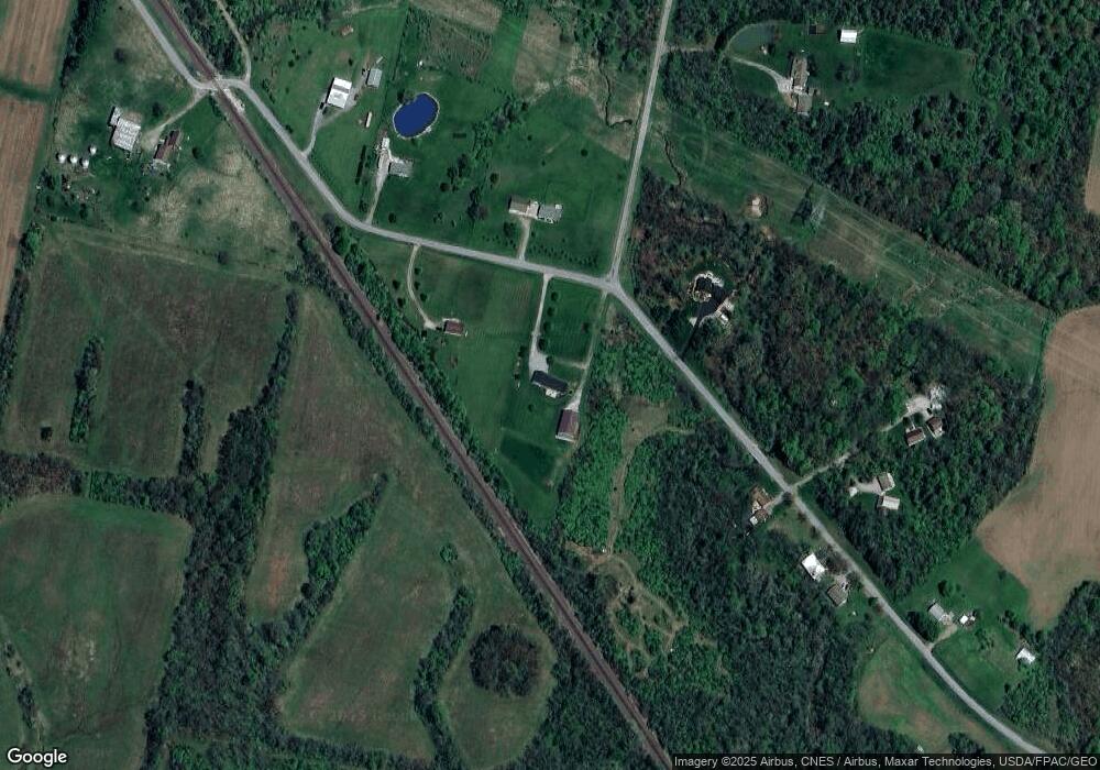
Map
Nearby Homes
- 25400 Storms Rd
- 25883 Lunda Rd
- 24097 Lunda Rd
- 0 Powder Lick Rd Unit 1016484
- 24805 Rapp Dean Rd
- 23156 State Route 739
- 21630 Main St
- 828 County Road 142 S
- 21875 Liberty Rd W
- 0 Liberty Rd W Unit 225028227
- 0 Johnson Rd Unit 225027964
- 0 Johnson Rd Unit 222024368
- 0 Johnson Rd Unit Lot 2 222024351
- 184 E Mann St
- 20971 Peoria Loop Rd
- 605 W Center St
- 19250 Powder Lick Rd
- 21800 State Route 47
- 28370 State Route 739
- 23863 Drake Skidmore Rd
- 23200 Hoover Bault Rd
- 23200 Hoover-Bault Rd
- 23275 Hoover Bault Rd
- 23117 Hoover Bault Rd
- 23240 Hoover Bault Rd
- 23240 Hoover-Bault Rd
- 23100 Hoover Bault Rd
- 23080 Hoover Bault Rd
- 23075 Hoover Bault Rd
- 23282 Hoover Bault Rd
- 23300 Hoover Bault Rd
- 23054 Hoover Bault Rd
- 25140 Coder Holloway Rd
- 23395 Hoover Bault Rd
- 25210 Coder Holloway Rd
- 25210 Coder-Holloway Rd
- 25225 Coder Holloway Rd
- 25325 Coder Holloway Rd
- 23531 Hoover Bault Rd
- 25372 Coder Holloway Rd