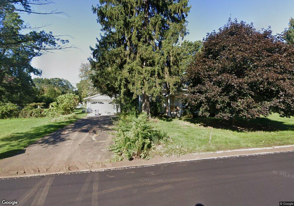
2324 Kint Ct Jackson, MI 49202
Estimated Value: $144,104 - $210,000
Studio
--
Bath
1,078
Sq Ft
$164/Sq Ft
Est. Value
About This Home
This home is located at 2324 Kint Ct, Jackson, MI 49202 and is currently estimated at $176,276, approximately $163 per square foot. 2324 Kint Ct is a home located in Jackson County with nearby schools including Northwest Early Elementary School, Northwest Elementary School, and Northwest Middle School.
Ownership History
Date
Name
Owned For
Owner Type
Purchase Details
Closed on
Aug 25, 2020
Sold by
Duke Betty J
Bought by
Leimenstoll Robert B and Leimenstoll Lana M
Current Estimated Value
Home Financials for this Owner
Home Financials are based on the most recent Mortgage that was taken out on this home.
Original Mortgage
$102,000
Interest Rate
3%
Mortgage Type
Land Contract Argmt. Of Sale
Purchase Details
Closed on
Oct 14, 2008
Sold by
Duke Austin and Duke Betty J
Bought by
Duke Austin and Duke Betty J
Create a Home Valuation Report for This Property
The Home Valuation Report is an in-depth analysis detailing your home's value as well as a comparison with similar homes in the area
Home Values in the Area
Average Home Value in this Area
Purchase History
| Date | Buyer | Sale Price | Title Company |
|---|---|---|---|
| Leimenstoll Robert B | $102,000 | None Available | |
| Duke Austin | -- | None Available | |
| Duke Austin | -- | None Available | |
| Duke Austin | -- | None Available |
Source: Public Records
Mortgage History
| Date | Status | Borrower | Loan Amount |
|---|---|---|---|
| Closed | Leimenstoll Robert B | $102,000 |
Source: Public Records
Tax History
| Year | Tax Paid | Tax Assessment Tax Assessment Total Assessment is a certain percentage of the fair market value that is determined by local assessors to be the total taxable value of land and additions on the property. | Land | Improvement |
|---|---|---|---|---|
| 2025 | $3,548 | $75,850 | $0 | $0 |
| 2024 | $10 | $76,200 | $0 | $0 |
| 2023 | $968 | $69,200 | $0 | $0 |
| 2022 | $3,094 | $60,900 | $0 | $0 |
| 2021 | $2,936 | $53,400 | $0 | $0 |
| 2020 | $1,539 | $49,800 | $0 | $0 |
| 2019 | $1,501 | $49,000 | $0 | $0 |
| 2018 | $1,377 | $46,600 | $0 | $0 |
| 2017 | $1,301 | $47,900 | $0 | $0 |
| 2016 | $859 | $47,146 | $47,146 | $0 |
| 2015 | $1,248 | $41,424 | $41,424 | $0 |
| 2014 | $1,248 | $38,947 | $38,947 | $0 |
| 2013 | -- | $38,947 | $38,947 | $0 |
Source: Public Records
Map
Nearby Homes
- 550 Royal Dr
- 520 Andrew Ave
- 735 Royal Dr
- 0 Shirley Dr Unit 24064060
- 2013 Cooper St
- 951 W Monroe St
- 0 Brookley Ave
- 431 Madison St
- 1422 Cooper St
- 1105 Clinton Rd
- 121 Frost St
- 1302 Cooper St
- 1012 Lansing Ave
- 939 Backus St
- 1135 Hamilton St
- 1114 Hamilton St
- 919 Lincoln St
- 712 W North St
- 1115 Cooper St
- 127 W Argyle St
Your Personal Tour Guide
Ask me questions while you tour the home.