2325 Independence Dr Unit B13 Austin, TX 78745
Cherry Creek NeighborhoodEstimated Value: $553,817 - $630,000
4
Beds
2
Baths
2,244
Sq Ft
$266/Sq Ft
Est. Value
About This Home
This home is located at 2325 Independence Dr Unit B13, Austin, TX 78745 and is currently estimated at $596,454, approximately $265 per square foot. 2325 Independence Dr Unit B13 is a home located in Travis County with nearby schools including Cunningham Elementary School, Covington Middle School, and Crockett High School.
Ownership History
Date
Name
Owned For
Owner Type
Purchase Details
Closed on
Oct 27, 2020
Sold by
Felker Robert F and Felker Anita B
Bought by
Garcia Edgar Omar and Steen Rachel Ann
Current Estimated Value
Home Financials for this Owner
Home Financials are based on the most recent Mortgage that was taken out on this home.
Original Mortgage
$441,350
Outstanding Balance
$392,739
Interest Rate
2.8%
Mortgage Type
New Conventional
Estimated Equity
$203,715
Purchase Details
Closed on
Sep 27, 2013
Sold by
Moore Eric T and Moore Kristen
Bought by
Felker Robert F and Felker Anita B
Purchase Details
Closed on
Nov 26, 2008
Sold by
Newmark Homes Lp
Bought by
Moore Eric T and Moore Kristen
Home Financials for this Owner
Home Financials are based on the most recent Mortgage that was taken out on this home.
Original Mortgage
$222,450
Interest Rate
6.5%
Mortgage Type
Purchase Money Mortgage
Create a Home Valuation Report for This Property
The Home Valuation Report is an in-depth analysis detailing your home's value as well as a comparison with similar homes in the area
Home Values in the Area
Average Home Value in this Area
Purchase History
| Date | Buyer | Sale Price | Title Company |
|---|---|---|---|
| Garcia Edgar Omar | -- | Chicago Title | |
| Felker Robert F | -- | Independence Title Co | |
| Moore Eric T | -- | Universal Land Title Of Tx |
Source: Public Records
Mortgage History
| Date | Status | Borrower | Loan Amount |
|---|---|---|---|
| Open | Garcia Edgar Omar | $441,350 | |
| Previous Owner | Moore Eric T | $222,450 |
Source: Public Records
Tax History
| Year | Tax Paid | Tax Assessment Tax Assessment Total Assessment is a certain percentage of the fair market value that is determined by local assessors to be the total taxable value of land and additions on the property. | Land | Improvement |
|---|---|---|---|---|
| 2025 | $8,377 | $525,118 | $135,299 | $389,819 |
| 2023 | $8,274 | $557,609 | $0 | $0 |
| 2022 | $10,011 | $506,917 | $0 | $0 |
| 2021 | $10,031 | $460,834 | $90,199 | $370,635 |
| 2020 | $8,403 | $391,757 | $90,199 | $301,558 |
| 2018 | $8,195 | $370,150 | $63,139 | $307,011 |
| 2017 | $8,238 | $369,409 | $63,139 | $306,270 |
| 2016 | $8,423 | $377,705 | $63,139 | $314,566 |
| 2015 | $7,473 | $348,678 | $63,139 | $285,539 |
| 2014 | $7,473 | $314,028 | $63,139 | $250,889 |
Source: Public Records
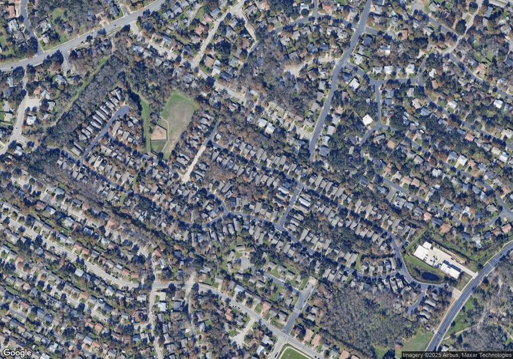
Map
Nearby Homes
- 2200 Amur Dr Unit B35
- 2611 Coatbridge Dr
- 2301 Brookhill Dr
- 2204 Falcon Hill Dr
- 6225 Hillston Dr
- 2512 Mcgregor Dr
- 2609 Carlow Dr
- 6101 Bridlington Cir
- 6106 Bridlington Cir
- 5706 Cherry Creek Dr
- 2801 Cornish Cir
- 6404 Blarwood Dr
- 2807 Cornish Cir
- 5423 Fairmont Cir
- 6502 Aldford Cir
- 6608 Krollton Dr
- 2603 Brickford Cove
- 5418 Fairmont Cir
- 1928 Miles Ave Unit 2
- 1928 Miles Ave Unit 1
- 2325 Independence Dr
- 2325 Independence Dr Unit B96
- 2321 Independence Dr
- 2405 Independence Dr Unit B98
- 2317 Independence Dr
- 2401 Independence Dr
- 2409 Independence Dr
- 2324 Independence Dr Unit B112
- 2400 Independence Dr Unit B113
- 2404 Independence Dr Unit B114
- 2413 Independence Dr
- 2220 Amur Dr Unit B40
- 2408 Lightfoot Trail
- 2320 Independence Dr Unit B111
- 2216 Amur Dr Unit B39
- 2313 Independence Dr Unit B93
- 2408 Independence Dr
- 6004 Stone Pass Unit B91
- 6008 Stone Pass Unit B90
- 2212 Amur Dr Unit B38