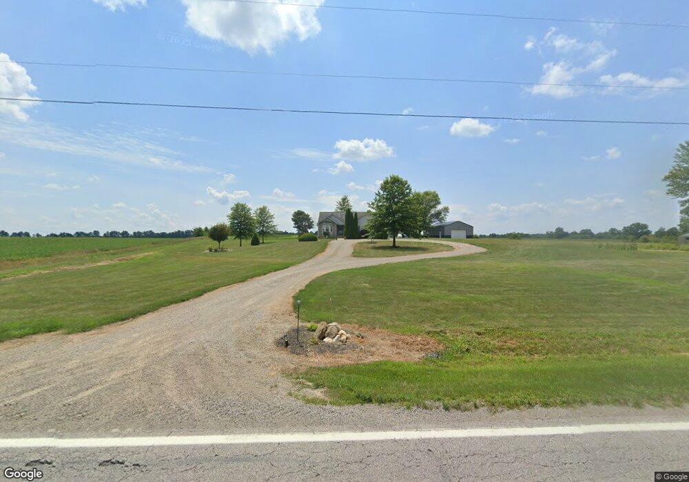
23255 State Route 347 West Mansfield, OH 43358
Estimated Value: $274,000 - $378,859
2
Beds
2
Baths
1,644
Sq Ft
$202/Sq Ft
Est. Value
About This Home
This home is located at 23255 State Route 347, West Mansfield, OH 43358 and is currently estimated at $332,286, approximately $202 per square foot. 23255 State Route 347 is a home located in Union County with nearby schools including Raymond Elementary School, Creekview Intermediate Elementary School, and Bunsold Middle School.
Ownership History
Date
Name
Owned For
Owner Type
Purchase Details
Closed on
Jan 10, 2024
Sold by
Thompson Brian Eugene and Thompson Catherine Louise
Bought by
Thompson Irrevocable Heritage Trust and Rogers
Current Estimated Value
Purchase Details
Closed on
May 23, 2018
Sold by
Thompson Brian and Thompson Catherine Louise
Bought by
Thompson Brian and Thompson Catherine Louise
Create a Home Valuation Report for This Property
The Home Valuation Report is an in-depth analysis detailing your home's value as well as a comparison with similar homes in the area
Home Values in the Area
Average Home Value in this Area
Purchase History
| Date | Buyer | Sale Price | Title Company |
|---|---|---|---|
| Thompson Irrevocable Heritage Trust | -- | None Listed On Document | |
| Thompson Brian | -- | None Available |
Source: Public Records
Tax History Compared to Growth
Tax History
| Year | Tax Paid | Tax Assessment Tax Assessment Total Assessment is a certain percentage of the fair market value that is determined by local assessors to be the total taxable value of land and additions on the property. | Land | Improvement |
|---|---|---|---|---|
| 2024 | $4,146 | $91,800 | $11,410 | $80,390 |
| 2023 | $4,146 | $91,800 | $11,410 | $80,390 |
| 2022 | $4,917 | $91,800 | $11,410 | $80,390 |
| 2021 | $4,677 | $89,960 | $22,970 | $66,990 |
| 2020 | $4,468 | $89,960 | $22,970 | $66,990 |
| 2019 | $4,597 | $89,960 | $22,970 | $66,990 |
| 2018 | $4,794 | $87,240 | $19,730 | $67,510 |
| 2017 | $4,522 | $87,240 | $19,730 | $67,510 |
| 2016 | $4,507 | $87,240 | $19,730 | $67,510 |
| 2015 | $4,280 | $77,060 | $15,700 | $61,360 |
| 2014 | $4,202 | $77,060 | $15,700 | $61,360 |
| 2013 | $5,111 | $99,570 | $15,700 | $83,870 |
Source: Public Records
Map
Nearby Homes
- 24097 Lunda Rd
- 0 Powder Lick Rd Unit 1016484
- 23156 State Route 739
- 25400 Storms Rd
- 24805 Rapp Dean Rd
- 21630 Main St
- 25883 Lunda Rd
- 21875 Liberty Rd W
- 0 Liberty Rd W Unit 225028227
- 0 Johnson Rd Unit 225027964
- 0 Johnson Rd Unit 222024368
- 0 Johnson Rd Unit Lot 2 222024351
- 828 County Road 142 S
- 20971 Peoria Loop Rd
- 20499 Bear Swamp Rd
- 20350 Bear Swamp Rd
- 0 Benton Rd Unit Lot B 225022637
- 0 Benton Rd Unit Lot A 225022636
- 184 E Mann St
- 19463 Bear Swamp Rd
- 23401 State Route 347
- 23597 State Route 347
- 23469 State Route 347
- 23307 State Route 347
- 23109 State Route 347
- 23070 State Route 347
- 23288 State Route 347
- 23070 State Route 347
- 000 St Rt 347
- LOT 1 Ohio 347
- 23682 State Route 347
- 23695 State Route 347
- 23656 State Route 347
- 0 Powderlick Rd Unit 9829051
- 0 Powderlick Rd Unit 2922795
- 24450 State Route 347
- L-3 Storms Rd
- L-2 Storms Rd
- L-4 Storms Rd
- 0 Storms Rd