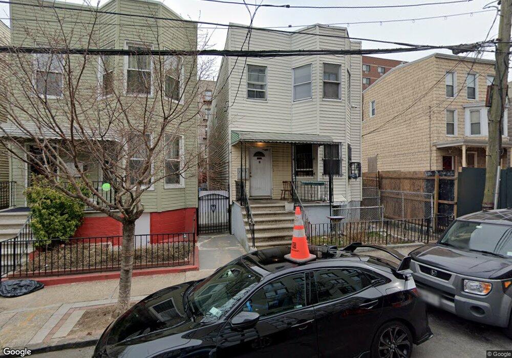
2326 Belmont Ave Unit 2 Bronx, NY 10458
Belmont NeighborhoodEstimated Value: $758,964 - $993,000
3
Beds
1
Bath
--
Sq Ft
2,483
Sq Ft Lot
About This Home
This home is located at 2326 Belmont Ave Unit 2, Bronx, NY 10458 and is currently estimated at $850,991. 2326 Belmont Ave Unit 2 is a home located in Bronx County with nearby schools including P.S. 032 The Belmont School, Jhs 118 William W Niles, and Cardinal McCloskey Community Charter School.
Ownership History
Date
Name
Owned For
Owner Type
Purchase Details
Closed on
Dec 30, 2013
Sold by
Mangione Virginia
Bought by
Masefield Michael G
Current Estimated Value
Home Financials for this Owner
Home Financials are based on the most recent Mortgage that was taken out on this home.
Original Mortgage
$356,125
Outstanding Balance
$268,161
Interest Rate
4.4%
Mortgage Type
New Conventional
Estimated Equity
$582,830
Purchase Details
Closed on
Nov 5, 2011
Sold by
Degregorio Madeline and Finelli Nicholas V
Bought by
Mangione Virginia
Purchase Details
Closed on
Feb 22, 2007
Sold by
Finelli Nicholas V
Bought by
Degregorio Madeline and Finelli Nicholas
Create a Home Valuation Report for This Property
The Home Valuation Report is an in-depth analysis detailing your home's value as well as a comparison with similar homes in the area
Home Values in the Area
Average Home Value in this Area
Purchase History
| Date | Buyer | Sale Price | Title Company |
|---|---|---|---|
| Masefield Michael G | $385,000 | -- | |
| Mangione Virginia | -- | -- | |
| Degregorio Madeline | -- | -- |
Source: Public Records
Mortgage History
| Date | Status | Borrower | Loan Amount |
|---|---|---|---|
| Open | Masefield Michael G | $356,125 |
Source: Public Records
Tax History Compared to Growth
Tax History
| Year | Tax Paid | Tax Assessment Tax Assessment Total Assessment is a certain percentage of the fair market value that is determined by local assessors to be the total taxable value of land and additions on the property. | Land | Improvement |
|---|---|---|---|---|
| 2025 | $4,367 | $24,504 | $5,445 | $19,059 |
| 2024 | $4,367 | $23,143 | $5,431 | $17,712 |
| 2023 | $4,154 | $21,854 | $5,073 | $16,781 |
| 2022 | $4,076 | $38,220 | $10,320 | $27,900 |
| 2021 | $4,221 | $37,080 | $10,320 | $26,760 |
| 2020 | $4,026 | $37,140 | $10,320 | $26,820 |
| 2019 | $3,742 | $37,140 | $10,320 | $26,820 |
| 2018 | $3,415 | $18,212 | $5,888 | $12,324 |
| 2017 | $3,413 | $18,212 | $6,636 | $11,576 |
| 2016 | $3,271 | $17,914 | $7,442 | $10,472 |
| 2015 | $1,852 | $17,017 | $6,224 | $10,793 |
| 2014 | $1,852 | $16,072 | $6,474 | $9,598 |
Source: Public Records
Map
Nearby Homes
- 620 E 182nd St
- 2471 Crotona Ave
- 2158 Hughes Ave
- 2301 Bathgate Ave
- 618 E 181st St
- 610 E 181st St
- 505 E 183rd St
- 731 E 181st St
- 45-44 E 189th St
- 2255 Bathgate Ave
- - - E 183rd Street & Bassford Ave
- 805 E 182nd St Unit 4E
- 2243 Bathgate Ave
- 2108 Arthur Ave
- 2259 Bassford Ave
- 2249 Bassford Ave
- 2139 Mapes Ave
- 2111 Prospect Ave
- 554 E 191st St Unit 1,2,3
- 2120 Mapes Ave Unit 1A
- 2326 Belmont Ave
- 2328 Belmont Ave
- 2322 Belmont Ave
- 2330 Belmont Ave
- 2320 Belmont Ave
- 2332 Belmont Ave
- 2318 Belmont Ave
- 2323 Cambreleng Ave
- 2334 Belmont Ave
- 2325 Cambreleng Ave Unit 4
- 2325 Cambreleng Ave Unit 2
- 2325 Cambreleng Ave Unit 6
- 2325 Cambreleng Ave
- 2321 Cambreleng Ave
- 2319 Cambreleng Ave
- 2316 Belmont Ave
- 2329 Cambreleng Ave
- 2336 Belmont Ave
- 2327 Cambreleng Ave
- 2327 Cambreleng Ave Unit 4