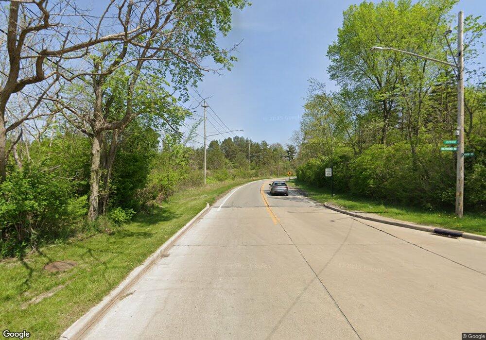
23265 Cannon Rd Bedford, OH 44146
Estimated Value: $210,177 - $246,000
5
Beds
2
Baths
1,514
Sq Ft
$149/Sq Ft
Est. Value
About This Home
This home is located at 23265 Cannon Rd, Bedford, OH 44146 and is currently estimated at $226,294, approximately $149 per square foot. 23265 Cannon Rd is a home located in Cuyahoga County with nearby schools including Heskett Middle School, Bedford High School, and Ohio College Preparatory School.
Ownership History
Date
Name
Owned For
Owner Type
Purchase Details
Closed on
Oct 13, 2001
Sold by
Hill William Edwin
Bought by
Hill Aleasha L
Current Estimated Value
Purchase Details
Closed on
Sep 15, 1978
Sold by
Canada Mauricio P
Bought by
Hill William E
Purchase Details
Closed on
Oct 7, 1975
Sold by
Canada Mauricio P and Canada Milag G
Bought by
Canada Mauricio P
Purchase Details
Closed on
Aug 25, 1975
Sold by
Carrick Thomas B and Carrick Carol L
Bought by
Canada Mauricio P and Canada Milag G
Purchase Details
Closed on
Jan 1, 1975
Bought by
Carrick Thomas B and Carrick Carol L
Create a Home Valuation Report for This Property
The Home Valuation Report is an in-depth analysis detailing your home's value as well as a comparison with similar homes in the area
Home Values in the Area
Average Home Value in this Area
Purchase History
| Date | Buyer | Sale Price | Title Company |
|---|---|---|---|
| Hill Aleasha L | -- | -- | |
| Hill William E | $46,000 | -- | |
| Canada Mauricio P | -- | -- | |
| Canada Mauricio P | $34,500 | -- | |
| Carrick Thomas B | -- | -- |
Source: Public Records
Tax History Compared to Growth
Tax History
| Year | Tax Paid | Tax Assessment Tax Assessment Total Assessment is a certain percentage of the fair market value that is determined by local assessors to be the total taxable value of land and additions on the property. | Land | Improvement |
|---|---|---|---|---|
| 2024 | $4,009 | $66,045 | $11,095 | $54,950 |
| 2023 | $2,646 | $41,300 | $7,280 | $34,020 |
| 2022 | $2,343 | $41,300 | $7,280 | $34,020 |
| 2021 | $2,318 | $41,300 | $7,280 | $34,020 |
| 2020 | $2,819 | $35,600 | $6,270 | $29,330 |
| 2019 | $2,736 | $101,700 | $17,900 | $83,800 |
| 2018 | $2,721 | $35,600 | $6,270 | $29,330 |
| 2017 | $2,841 | $35,110 | $7,770 | $27,340 |
| 2016 | $2,818 | $35,110 | $7,770 | $27,340 |
| 2015 | $2,813 | $35,110 | $7,770 | $27,340 |
| 2014 | $2,813 | $35,110 | $7,770 | $27,340 |
Source: Public Records
Map
Nearby Homes
- 5385 Bartlett Rd
- 23505 Cranfield Rd
- 5696 Columbia Dr
- 5653 Vickie Ln
- 5756 Daniel Dr
- 24051 Columbus Rd
- 5301 Mardale Ave
- 5832 Bear Creek Dr Unit 5832
- 20739 Donny Brook Rd
- 471 Columbus St
- 179 Willard Ave
- 20750 Bowling Green Rd
- 758 Taft Ave
- 5876 Marra Dr
- 733 High St
- 886 Archer Rd
- 109 Avalon Dr
- 62 Willard Ave
- 61 Hubbell Way
- 54 Willard Ave
- 23225 Cannon Rd
- 5462 Millbrook Rd
- 23345 Cannon Rd
- 23185 Cannon Rd
- 23260 Cannon Rd
- 5456 Millbrook Rd
- 23300 Cannon Rd
- 5467 Millbrook Rd
- 23220 Cannon Rd
- 23385 Cannon Rd
- 23340 Cannon Rd
- 5473 Fenlake Rd
- 23145 Cannon Rd
- 23180 Cannon Rd
- 5461 Millbrook Rd
- 5467 Fenlake Rd
- 5450 Millbrook Rd
- 23380 Cannon Rd
- 23425 Cannon Rd
- 23140 Cannon Rd
