23265 Maplehill Dr Unit 30 Big Rapids, MI 49307
Estimated Value: $442,000 - $786,000
4
Beds
3
Baths
2,142
Sq Ft
$252/Sq Ft
Est. Value
About This Home
This home is located at 23265 Maplehill Dr Unit 30, Big Rapids, MI 49307 and is currently estimated at $540,656, approximately $252 per square foot. 23265 Maplehill Dr Unit 30 is a home located in Mecosta County with nearby schools including Big Rapids High School, Crossroads Charter Academy Elementary School, and Crossroads Charter Academy Middle/High School.
Ownership History
Date
Name
Owned For
Owner Type
Purchase Details
Closed on
May 2, 2014
Sold by
Foster David and Foster Jody R
Bought by
Durst Stephen W
Current Estimated Value
Home Financials for this Owner
Home Financials are based on the most recent Mortgage that was taken out on this home.
Original Mortgage
$200,000
Outstanding Balance
$61,681
Interest Rate
4.41%
Mortgage Type
New Conventional
Estimated Equity
$478,975
Purchase Details
Closed on
Oct 20, 2005
Sold by
Laprairie David M and Laprairie Janet S
Bought by
Foster David and Foster Jody R
Home Financials for this Owner
Home Financials are based on the most recent Mortgage that was taken out on this home.
Original Mortgage
$265,000
Interest Rate
5.8%
Mortgage Type
Purchase Money Mortgage
Create a Home Valuation Report for This Property
The Home Valuation Report is an in-depth analysis detailing your home's value as well as a comparison with similar homes in the area
Home Values in the Area
Average Home Value in this Area
Purchase History
| Date | Buyer | Sale Price | Title Company |
|---|---|---|---|
| Durst Stephen W | $250,000 | Midstate Title Agency | |
| Foster David | $265,000 | Mecosta County Abstract & Ti |
Source: Public Records
Mortgage History
| Date | Status | Borrower | Loan Amount |
|---|---|---|---|
| Open | Durst Stephen W | $200,000 | |
| Previous Owner | Foster David | $265,000 |
Source: Public Records
Tax History Compared to Growth
Tax History
| Year | Tax Paid | Tax Assessment Tax Assessment Total Assessment is a certain percentage of the fair market value that is determined by local assessors to be the total taxable value of land and additions on the property. | Land | Improvement |
|---|---|---|---|---|
| 2025 | $4,397 | $225,800 | $0 | $0 |
| 2024 | -- | $219,700 | $0 | $0 |
| 2023 | -- | $203,000 | $0 | $0 |
| 2022 | $0 | $175,500 | $0 | $0 |
| 2021 | -- | $163,700 | $0 | $0 |
| 2020 | -- | -- | $0 | $0 |
| 2019 | -- | -- | $0 | $0 |
| 2018 | -- | -- | $0 | $0 |
| 2017 | -- | -- | $0 | $0 |
| 2016 | -- | -- | $0 | $0 |
| 2014 | -- | -- | $0 | $0 |
| 2013 | -- | -- | $0 | $0 |
Source: Public Records
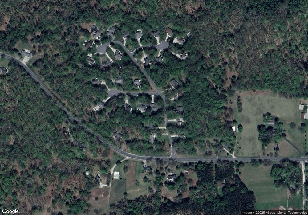
Map
Nearby Homes
- 15172 Oakwood Dr
- 23616 15 Mile Rd
- 22711 15 Mile Rd
- 15505 Waldron Way
- 16698 220th Ave
- 22870 13 Mile Rd
- Lot 3 University Club Dr
- Lot 4 University Club Dr
- Lot 10 University Club Dr
- Lot 6 University Club Dr
- Lot 7 University Club Dr
- Lot 8 University Club Dr
- Lot 9 University Club Dr
- Unit 2 University Club Dr
- Lot 15 Executive Dr
- Lot 14 Executive Dr
- Lot 11 Executive Dr
- 16377 Mitchell Creek Trail
- 16345 Mitchell Creek Trail
- Elements 2200 Plan at Hills of Mitchell Creek - Elements
- 23285 Maplehill Dr
- 23315 Maplehill Dr
- 23341 Maplehill Dr
- 23297 Maple Hill Dr
- 23315 Maple Hill Dr
- 23297 Maplehill Dr
- 23350 Maplehill Dr
- 23116 Maplehill Dr
- 23286 Maplehill Dr
- 23116 Maple Hill Dr
- 23350 Maple Hill Dr
- 0 Maple Hill Dr Unit 25
- 23350 15 Mile Rd
- 15035 Oakwood Dr Unit 31
- 15200 Oakwood Dr Unit 18
- 15190 Oakwood Dr
- 15180 Oakwood Dr
- 23200 Timberridge Dr
- 15048 Oakwood Dr
- 15024 Oakwood Dr Unit 2