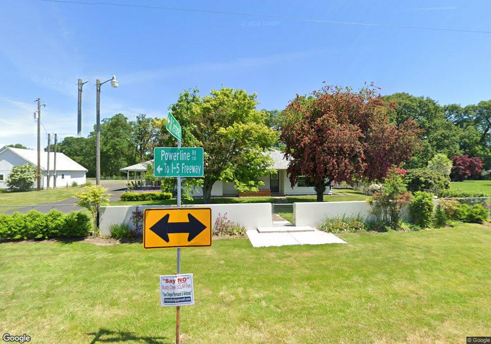
23265 Powerline Rd Harrisburg, OR 97446
Estimated Value: $939,000 - $1,058,123
5
Beds
4
Baths
2,298
Sq Ft
$435/Sq Ft
Est. Value
About This Home
This home is located at 23265 Powerline Rd, Harrisburg, OR 97446 and is currently estimated at $998,562, approximately $434 per square foot. 23265 Powerline Rd is a home located in Linn County with nearby schools including Harrisburg Elementary School, Harrisburg Middle School, and Harrisburg High School.
Ownership History
Date
Name
Owned For
Owner Type
Purchase Details
Closed on
Feb 9, 2023
Sold by
Jones Cole V O and Jones Margaret Katherine
Bought by
Jones Meneghin Living Trust
Current Estimated Value
Purchase Details
Closed on
Apr 21, 2020
Sold by
Jones Michael Troy and Jones Kathy L
Bought by
Jones Cole V O and Meneghin Margaret Katherine
Purchase Details
Closed on
May 29, 2013
Sold by
Chinook Llc
Bought by
Putnam Creek Llc
Purchase Details
Closed on
Dec 14, 2012
Sold by
Koontz Fredrick M
Bought by
Chinook Llc
Create a Home Valuation Report for This Property
The Home Valuation Report is an in-depth analysis detailing your home's value as well as a comparison with similar homes in the area
Home Values in the Area
Average Home Value in this Area
Purchase History
| Date | Buyer | Sale Price | Title Company |
|---|---|---|---|
| Jones Meneghin Living Trust | -- | -- | |
| Jones Cole V O | -- | None Available | |
| Kalapuya Management Services Llc | -- | None Available | |
| Putnam Creek Llc | -- | None Available | |
| Chinook Llc | $426,200 | Amerititle |
Source: Public Records
Tax History Compared to Growth
Tax History
| Year | Tax Paid | Tax Assessment Tax Assessment Total Assessment is a certain percentage of the fair market value that is determined by local assessors to be the total taxable value of land and additions on the property. | Land | Improvement |
|---|---|---|---|---|
| 2025 | $4,399 | $326,170 | -- | -- |
| 2024 | $4,275 | $316,679 | -- | -- |
| 2023 | $4,149 | $307,462 | $0 | $0 |
| 2022 | $4,044 | $298,509 | $0 | $0 |
| 2021 | $3,906 | $289,818 | $0 | $0 |
| 2020 | $3,703 | $270,658 | $0 | $0 |
| 2019 | $3,628 | $262,776 | $0 | $0 |
| 2018 | $3,424 | $255,130 | $0 | $0 |
| 2017 | $3,275 | $247,708 | $0 | $0 |
| 2016 | $2,991 | $240,500 | $0 | $0 |
| 2015 | $2,908 | $233,504 | $0 | $0 |
| 2014 | $2,850 | $226,708 | $0 | $0 |
Source: Public Records
Map
Nearby Homes
- 955 Territorial St
- 30540 Priceboro Dr
- 970 Lasalle St
- 1001 Sommerville Loop
- 950 Lasalle St
- Lot 9th St
- 888 S 9th St
- 961 S 9th St
- Lot 7 Territorial St
- 1025 S 6th St
- 1025 S 6th St Unit 83
- 1025 S 6th St Unit 78
- 735 N Periander
- 741 N Periander
- 729 N Periander
- 881 Arrow Leaf Place
- 525 S 6th St Unit 4
- 645 Riley Way
- 370 S 6th St
- 375 N 6th St
- 23257 Powerline Rd
- 23175 Powerline Rd
- 23166 Powerline Rd
- 0 Peoria (Ta #340980) Rd Unit 788275
- 246 School St
- 31166 Territorial Dr
- 23115 Powerline Rd
- 23095 Powerline Rd
- 23015 Powerline Rd
- 31026 Territorial Dr
- 23635 Powerline Rd
- 31277 Diamond Hill Dr
- 23688 Powerline Rd
- 31118 Diamond Hill Dr
- 31118 Diamond Hill Rd
- 31040 Diamond Hill Dr
- 31276 Priceboro Dr
- 31161 Priceboro Dr
- 31276 Powerline Rd
- 23762 Powerline Rd