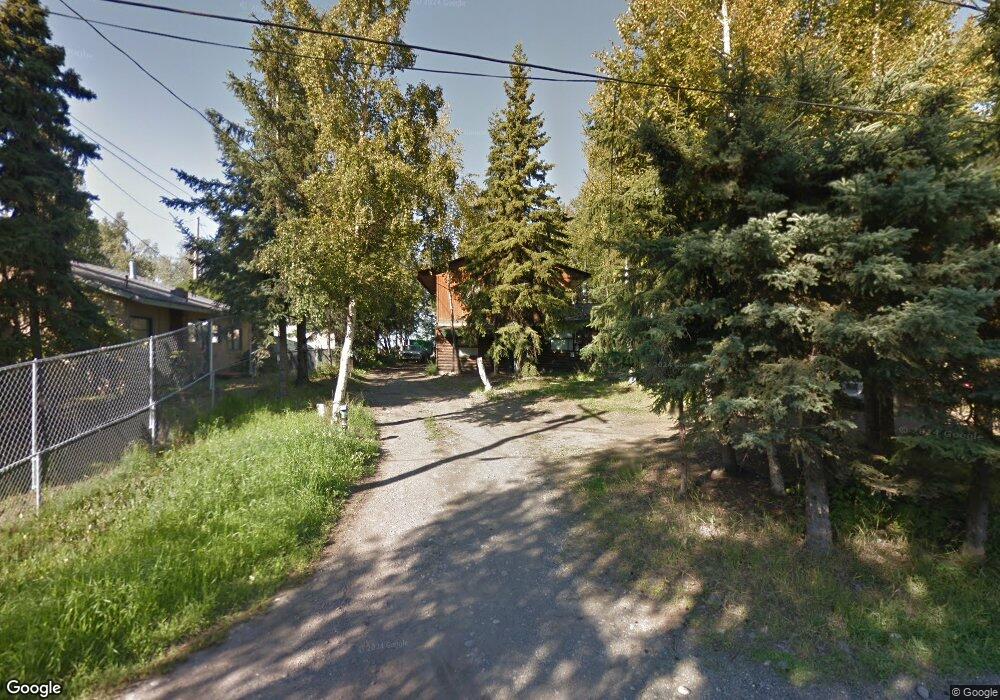
2327 E 86th Ct Anchorage, AK 99507
Abbott Loop NeighborhoodEstimated Value: $405,000 - $596,000
4
Beds
2
Baths
1,881
Sq Ft
$261/Sq Ft
Est. Value
About This Home
This home is located at 2327 E 86th Ct, Anchorage, AK 99507 and is currently estimated at $491,412, approximately $261 per square foot. 2327 E 86th Ct is a home located in Anchorage Municipality with nearby schools including Kasuun Elementary, Hanshew Middle School, and Service High School.
Ownership History
Date
Name
Owned For
Owner Type
Purchase Details
Closed on
Jul 22, 2024
Sold by
Joos Uwe Carl Willy
Bought by
Joos Elke C L
Current Estimated Value
Purchase Details
Closed on
Jul 23, 2007
Sold by
Johnston Craig and Johnston Judy
Bought by
Joos Uwe Carl Willy
Home Financials for this Owner
Home Financials are based on the most recent Mortgage that was taken out on this home.
Original Mortgage
$275,500
Interest Rate
6.73%
Create a Home Valuation Report for This Property
The Home Valuation Report is an in-depth analysis detailing your home's value as well as a comparison with similar homes in the area
Home Values in the Area
Average Home Value in this Area
Purchase History
| Date | Buyer | Sale Price | Title Company |
|---|---|---|---|
| Joos Elke C L | -- | None Listed On Document | |
| Joos Uwe Carl Willy | -- | None Available |
Source: Public Records
Mortgage History
| Date | Status | Borrower | Loan Amount |
|---|---|---|---|
| Previous Owner | Joos Uwe Carl Willy | $275,500 |
Source: Public Records
Tax History Compared to Growth
Tax History
| Year | Tax Paid | Tax Assessment Tax Assessment Total Assessment is a certain percentage of the fair market value that is determined by local assessors to be the total taxable value of land and additions on the property. | Land | Improvement |
|---|---|---|---|---|
| 2025 | $2,614 | $412,900 | $126,700 | $286,200 |
| 2024 | $2,614 | $386,900 | $126,700 | $260,200 |
| 2023 | $6,121 | $359,400 | $126,700 | $232,700 |
| 2022 | $2,590 | $353,800 | $126,700 | $227,100 |
| 2021 | $6,015 | $333,800 | $126,700 | $207,100 |
| 2020 | $2,119 | $325,800 | $126,700 | $199,100 |
| 2019 | $5,304 | $324,200 | $126,700 | $197,500 |
| 2018 | $4,958 | $302,300 | $123,200 | $179,100 |
| 2017 | $4,942 | $315,600 | $123,200 | $192,400 |
| 2016 | $4,512 | $313,600 | $126,100 | $187,500 |
| 2015 | $4,512 | $296,100 | $126,100 | $170,000 |
| 2014 | $4,512 | $301,000 | $126,100 | $174,900 |
Source: Public Records
Map
Nearby Homes
- 8501 Atkins Place
- 8141 Sockeye Unit 10
- 2708 Snug Harbor Cir
- 2900 Sun Spot Cir
- 2000 Brigadier Dr
- 2200 Sentry Dr Unit A17
- 7730 Little Bend Cir
- 9499 Brayton Dr Unit 39
- 9499 Brayton Dr Unit 152
- 9499 Brayton Dr Unit 245
- 9725 Independence Dr Unit A201
- 9725 Independence Dr Unit A104
- 267 Loop Unit 267
- 8131 Medellin Cir
- 8662 Spruce Brook St
- 9710 Vanguard Dr Unit 80
- L25 B2 E 73rd Ave
- 7230 Basel St
- 7801 Spruce St
- 9387 Morningside Loop
- 2301 E 86th Ct
- 2247 E 86th Ct
- 8689 Wanigan St
- 2337 E 86th Ct
- 2237 E 86th Ct
- 2237 E 86th Ct
- 2347 E 86th Ct
- 8642 Cameron St
- L7 Toloff St
- 2228 E 86th Ct
- 8660 Seemie St
- 2237 E 87th Ave
- 8643 Cameron St
- 2407 E 86th Ct
- 8629 Toloff St
- L32 B5 Wanigan St
- 8642 Dakota St
- 2419 E 86th Ct
- 2337 E 88th Ave
- 000 Toloff St