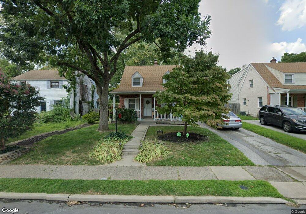
2327 Mole Rd Secane, PA 19018
Estimated Value: $284,000 - $302,000
2
Beds
2
Baths
1,158
Sq Ft
$254/Sq Ft
Est. Value
About This Home
This home is located at 2327 Mole Rd, Secane, PA 19018 and is currently estimated at $293,799, approximately $253 per square foot. 2327 Mole Rd is a home located in Delaware County with nearby schools including Amosland El School, Ridley Middle School, and Ridley High School.
Ownership History
Date
Name
Owned For
Owner Type
Purchase Details
Closed on
Feb 22, 2002
Sold by
Paprotta Wiltrude
Bought by
Canfield Melvin D and Canfield Marian R
Current Estimated Value
Home Financials for this Owner
Home Financials are based on the most recent Mortgage that was taken out on this home.
Original Mortgage
$95,900
Outstanding Balance
$39,065
Interest Rate
6.85%
Estimated Equity
$254,734
Create a Home Valuation Report for This Property
The Home Valuation Report is an in-depth analysis detailing your home's value as well as a comparison with similar homes in the area
Home Values in the Area
Average Home Value in this Area
Purchase History
| Date | Buyer | Sale Price | Title Company |
|---|---|---|---|
| Canfield Melvin D | $119,900 | Ta Title |
Source: Public Records
Mortgage History
| Date | Status | Borrower | Loan Amount |
|---|---|---|---|
| Open | Canfield Melvin D | $95,900 |
Source: Public Records
Tax History Compared to Growth
Tax History
| Year | Tax Paid | Tax Assessment Tax Assessment Total Assessment is a certain percentage of the fair market value that is determined by local assessors to be the total taxable value of land and additions on the property. | Land | Improvement |
|---|---|---|---|---|
| 2025 | $5,693 | $163,960 | $65,810 | $98,150 |
| 2024 | $5,693 | $163,960 | $65,810 | $98,150 |
| 2023 | $5,445 | $163,960 | $65,810 | $98,150 |
| 2022 | $5,271 | $163,960 | $65,810 | $98,150 |
| 2021 | $8,159 | $163,960 | $65,810 | $98,150 |
| 2020 | $5,473 | $96,890 | $33,530 | $63,360 |
| 2019 | $5,373 | $96,890 | $33,530 | $63,360 |
| 2018 | $5,306 | $96,890 | $0 | $0 |
| 2017 | $5,306 | $96,890 | $0 | $0 |
| 2016 | $532 | $96,890 | $0 | $0 |
| 2015 | $532 | $96,890 | $0 | $0 |
| 2014 | $532 | $96,890 | $0 | $0 |
Source: Public Records
Map
Nearby Homes
- 880 Quaint St
- 2379 Mole Rd
- 860 Wyndom Terrace
- 2143 Haig Ave
- 50 Silver Lake Te Unit 50
- 804 South Ave Unit D7
- 814 South Ave Unit J6
- 111 Broad St
- 816 South Ave Unit K1
- 826 South Ave Unit R8
- 7 & 0 Woodland Ave
- 542 Stanbridge Rd
- 121 Walnut St
- 2 Yale Ave
- 1015 Mitchell Ave
- 1110 Wynnbrook Rd
- 1108 Providence Rd
- 1117 Tremont Dr
- 246 Pennington Ave
- 136 Linden Ave