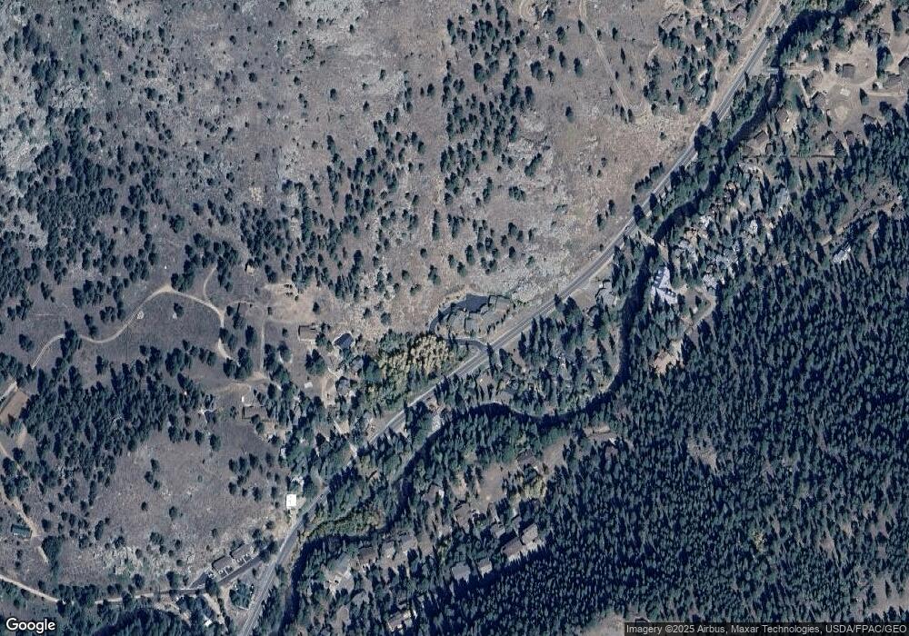
2327 State Highway 66 Unit 1 Estes Park, CO 80517
Estimated Value: $909,000 - $970,000
3
Beds
3
Baths
2,584
Sq Ft
$361/Sq Ft
Est. Value
About This Home
This home is located at 2327 State Highway 66 Unit 1, Estes Park, CO 80517 and is currently estimated at $931,544, approximately $360 per square foot. 2327 State Highway 66 Unit 1 is a home located in Larimer County with nearby schools including Estes Park K-5 School, Estes Park Options School, and Estes Park Middle School.
Ownership History
Date
Name
Owned For
Owner Type
Purchase Details
Closed on
Dec 16, 2024
Sold by
Wilerness Streams Ii Partnership Ltd
Bought by
David Vernon Trust and Paul Vernon Revocable Living Trust
Current Estimated Value
Purchase Details
Closed on
Feb 16, 2024
Sold by
Not Given
Bought by
Paul Vernon Split Residence Trust and Vernon
Purchase Details
Closed on
Dec 17, 2022
Sold by
Sally Vernon Split Residence Trust
Bought by
Wilderness Streams Ii Partners Ltd
Purchase Details
Closed on
Jan 31, 2006
Sold by
Longs Peak Development Llc
Bought by
Vernon Paul F and Vernon David H
Purchase Details
Closed on
Apr 8, 2004
Sold by
Swanson William R and Swanson Toni A
Bought by
Gordon Ronald J
Home Financials for this Owner
Home Financials are based on the most recent Mortgage that was taken out on this home.
Original Mortgage
$232,500
Interest Rate
5.61%
Mortgage Type
Purchase Money Mortgage
Create a Home Valuation Report for This Property
The Home Valuation Report is an in-depth analysis detailing your home's value as well as a comparison with similar homes in the area
Home Values in the Area
Average Home Value in this Area
Purchase History
| Date | Buyer | Sale Price | Title Company |
|---|---|---|---|
| David Vernon Trust | $925,000 | None Listed On Document | |
| Paul Vernon Split Residence Trust | -- | None Listed On Document | |
| Wilderness Streams Ii Partners Ltd | -- | -- | |
| Vernon Paul F | $469,000 | Security Title | |
| Longs Peak Development Llc | -- | Security Title | |
| Gordon Ronald J | $310,000 | -- |
Source: Public Records
Mortgage History
| Date | Status | Borrower | Loan Amount |
|---|---|---|---|
| Previous Owner | Gordon Ronald J | $232,500 |
Source: Public Records
Tax History Compared to Growth
Tax History
| Year | Tax Paid | Tax Assessment Tax Assessment Total Assessment is a certain percentage of the fair market value that is determined by local assessors to be the total taxable value of land and additions on the property. | Land | Improvement |
|---|---|---|---|---|
| 2025 | $3,700 | $55,483 | $8,127 | $47,356 |
| 2024 | $3,658 | $55,483 | $8,127 | $47,356 |
| 2022 | $3,199 | $42,916 | $8,430 | $34,486 |
| 2021 | $3,284 | $44,151 | $8,673 | $35,478 |
| 2020 | $3,197 | $42,350 | $8,673 | $33,677 |
| 2019 | $3,174 | $42,350 | $8,673 | $33,677 |
| 2018 | $2,727 | $35,266 | $8,734 | $26,532 |
| 2017 | $2,742 | $35,266 | $8,734 | $26,532 |
| 2016 | $2,712 | $36,114 | $9,655 | $26,459 |
| 2015 | $2,677 | $36,120 | $9,660 | $26,460 |
| 2014 | $2,472 | $34,260 | $9,660 | $24,600 |
Source: Public Records
Map
Nearby Homes
- 2325 Highway 66
- 2238 Eagle Cliff Rd
- 2220 Eagle Cliff Rd
- 2450 Eagle Cliff Rd
- 2045 Windcliff Dr
- 1565 State Highway 66 Unit 33
- 1565 Highway 66 Unit 46
- 1565 Highway 66 Unit 49
- 1565 Highway 66 Unit 28
- 1731 Aspencliff Ct Unit 1
- 1731 Aspencliff Ct Unit 2
- 1731 Aspencliff Ct Unit 1 & 2
- 1611 High Dr
- 1252 Giant Track Rd
- 831 Larkspur Rd
- 739 Larkspur Rd
- 725 Upper Larkspur Ln
- 811 Larkspur Rd
- 810 Larkspur Rd
- 1401 High Dr
- 2325 Colorado 66
- 2325 State Highway 66 Unit 2
- 2325 State Highway 66
- 2323 State Highway 66 Unit 3
- 2323 State Highway 66
- 2315 Colorado 66
- 2315 State Highway 66
- 2315 State Highway 66 Unit 4
- 2315 State Highway 66
- 2282 Colorado 66
- 2395 State Highway 66 Unit 18C
- 2395 State Highway 66
- 2334 State Highway 66
- 2334 State Highway 66
- 2334 State Highway 66
- 2334 State Highway 66
- 2407 Wild Bear Way
- 2358 State Highway 66
- 2282 State Highway 66
- 2399 State Highway 66 Unit 18B
