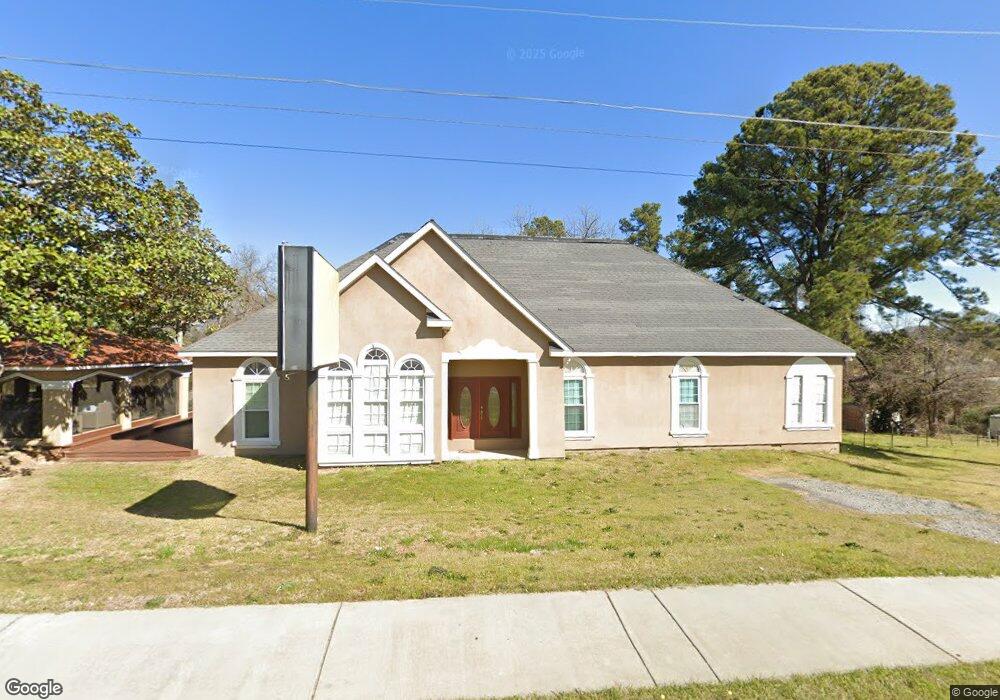
2328 Watson Blvd Warner Robins, GA 31093
Estimated Value: $283,000 - $493,000
--
Bed
--
Bath
4,512
Sq Ft
$82/Sq Ft
Est. Value
About This Home
This home is located at 2328 Watson Blvd, Warner Robins, GA 31093 and is currently estimated at $370,172, approximately $82 per square foot. 2328 Watson Blvd is a home with nearby schools including Westside Elementary School, Northside Middle School, and Northside High School.
Ownership History
Date
Name
Owned For
Owner Type
Purchase Details
Closed on
Jan 12, 1996
Sold by
Byrd Robert S
Bought by
Cooper Tony
Current Estimated Value
Purchase Details
Closed on
Oct 27, 1995
Sold by
Rutherford Kirby and Byrd Robert S
Bought by
Byrd Robert S
Purchase Details
Closed on
Jun 28, 1990
Sold by
Rutherford Kirby and Rutherford Harrington W
Bought by
Rutherford Kirby and Byrd Robert S
Purchase Details
Closed on
Jun 28, 1989
Sold by
Mcguire C E
Bought by
Rutherford Kirby and Glenn Robin W
Purchase Details
Closed on
Jul 31, 1952
Bought by
Mcguire C E
Create a Home Valuation Report for This Property
The Home Valuation Report is an in-depth analysis detailing your home's value as well as a comparison with similar homes in the area
Home Values in the Area
Average Home Value in this Area
Purchase History
| Date | Buyer | Sale Price | Title Company |
|---|---|---|---|
| Cooper Tony | $140,000 | -- | |
| Byrd Robert S | $8,000 | -- | |
| Rutherford Kirby | -- | -- | |
| Rutherford Kirby | $1,500 | -- | |
| Rutherford Kirby | $110,000 | -- | |
| Mcguire C E | $600 | -- |
Source: Public Records
Tax History Compared to Growth
Tax History
| Year | Tax Paid | Tax Assessment Tax Assessment Total Assessment is a certain percentage of the fair market value that is determined by local assessors to be the total taxable value of land and additions on the property. | Land | Improvement |
|---|---|---|---|---|
| 2024 | $3,212 | $134,280 | $45,000 | $89,280 |
| 2023 | $3,250 | $134,480 | $45,000 | $89,480 |
| 2022 | $3,250 | $134,480 | $45,000 | $89,480 |
| 2021 | $2,903 | $119,480 | $45,000 | $74,480 |
| 2020 | $2,916 | $119,480 | $45,000 | $74,480 |
| 2019 | $2,916 | $119,480 | $45,000 | $74,480 |
| 2018 | $2,916 | $119,480 | $45,000 | $74,480 |
| 2017 | $2,919 | $119,480 | $45,000 | $74,480 |
| 2016 | $2,936 | $119,480 | $45,000 | $74,480 |
| 2015 | $2,930 | $119,480 | $45,000 | $74,480 |
| 2014 | -- | $119,480 | $45,000 | $74,480 |
| 2013 | -- | $119,480 | $45,000 | $74,480 |
Source: Public Records
Map
Nearby Homes
- 209 Knodishall Dr
- 129 Maryjay Dr
- 301 Millside Dr
- 112 Peacock Dr
- 111 Hawthorne Rd
- 501 Pinecrest Dr
- 106 Westcliff Cir
- 110 Westcliff Cir Unit C
- 318 Somerset Dr
- 103 Westcliff Cir Unit A
- 103 Westcliff Cir Unit A
- 141 Peacock Dr
- 321 Somerset Dr
- 127 N Amanda Place
- 707 Wilmington Dr
- 86 Westcliff Cir
- 221 Gilchrist Dr
- 102 Westcliff Center St Unit D
- 110 Westcliff Center St
- 725 B East Side Dr
- 2320 Watson Blvd
- 2400 Watson Blvd
- 181 Carter Cir
- 2410 Watson Blvd
- 176 Carter Cir
- 2411 Watson Blvd
- 2220 Watson Blvd
- 173 Carter Cir
- 106 Fisher St
- 174 Carter Cir
- 101 Maryjay Dr
- 108 Fisher St
- 100 Maryjay Dr
- 171 Carter Cir
- 2502 Watson Blvd
- 103 Maryjay Dr
- 104 Carter Cir
- 200 Nelson Dr
- 102 Carter Cir
- 117 Carter Cir