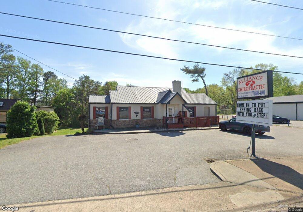
233 Atlanta Rd Cumming, GA 30040
Estimated Value: $1,506,305
--
Bed
--
Bath
1,468
Sq Ft
$1,026/Sq Ft
Est. Value
About This Home
This home is located at 233 Atlanta Rd, Cumming, GA 30040 and is currently estimated at $1,506,305, approximately $1,026 per square foot. 233 Atlanta Rd is a home located in Forsyth County with nearby schools including Cumming Elementary School, Otwell Middle School, and Forsyth Central High School.
Ownership History
Date
Name
Owned For
Owner Type
Purchase Details
Closed on
May 23, 2025
Sold by
Ridgearrow Properties Llc
Bought by
C & R 233 Atlanta Rd Llc
Current Estimated Value
Purchase Details
Closed on
Jan 22, 2016
Sold by
Alliance Health And Welliness Center Pc
Bought by
Ruggiero Brian
Purchase Details
Closed on
Dec 23, 2015
Sold by
Ruggiero Brian
Bought by
Ridgearrow Properties Llc
Purchase Details
Closed on
Dec 8, 2011
Sold by
Gravitt Lara Fields Childe
Bought by
Chappell Melvin O and Chappell Linda R
Create a Home Valuation Report for This Property
The Home Valuation Report is an in-depth analysis detailing your home's value as well as a comparison with similar homes in the area
Home Values in the Area
Average Home Value in this Area
Purchase History
| Date | Buyer | Sale Price | Title Company |
|---|---|---|---|
| C & R 233 Atlanta Rd Llc | $1,500,000 | None Listed On Document | |
| C & R 233 Atlanta Rd Llc | $1,500,000 | None Listed On Document | |
| Ruggiero Brian | -- | -- | |
| Ridgearrow Properties Llc | -- | -- | |
| Chappell Melvin O | $135,000 | -- |
Source: Public Records
Tax History Compared to Growth
Tax History
| Year | Tax Paid | Tax Assessment Tax Assessment Total Assessment is a certain percentage of the fair market value that is determined by local assessors to be the total taxable value of land and additions on the property. | Land | Improvement |
|---|---|---|---|---|
| 2025 | $6,834 | $389,164 | $368,160 | $21,004 |
| 2024 | $6,834 | $278,688 | $257,712 | $20,976 |
| 2023 | $4,416 | $179,407 | $162,128 | $17,279 |
| 2022 | $4,775 | $181,408 | $162,128 | $19,280 |
| 2021 | $5,009 | $181,408 | $162,128 | $19,280 |
| 2020 | $5,009 | $181,408 | $162,128 | $19,280 |
| 2019 | $8,299 | $181,580 | $162,128 | $19,452 |
| 2018 | $2,636 | $95,310 | $72,000 | $23,310 |
| 2017 | $2,645 | $95,310 | $72,000 | $23,310 |
| 2016 | $2,645 | $95,310 | $72,000 | $23,310 |
| 2015 | $3,547 | $127,556 | $112,260 | $15,296 |
| 2014 | $3,377 | $127,548 | $112,260 | $15,288 |
Source: Public Records
Map
Nearby Homes
- 116 E Maple St
- 208 Pirkle Ferry Rd
- 4945 Bay Dr
- The Maren Plan at Brackley - Single Family
- The Manchester Plan at Brackley - Single Family
- The Greenville Plan at Brackley - Single Family
- 104 Brackley Dr
- 112 Brackley Dr
- 102 Birch Tree Way
- 280 Oxford Rd
- 163 Basil St
- 159 Basil St
- 155 Basil St
- 173 Basil St
- 535 Shamrock Dr
- 161 Basil St
- 157 Basil St
- 167 Basil St
- 169 Basil St
- 110 Mountain View Dr