233 Brushy Ridge Rd New Canaan, CT 06840
Estimated Value: $4,028,979 - $5,588,000
5
Beds
6
Baths
6,192
Sq Ft
$746/Sq Ft
Est. Value
About This Home
This home is located at 233 Brushy Ridge Rd, New Canaan, CT 06840 and is currently estimated at $4,619,495, approximately $746 per square foot. 233 Brushy Ridge Rd is a home located in Fairfield County with nearby schools including East Elementary School, Saxe Middle School, and New Canaan High School.
Ownership History
Date
Name
Owned For
Owner Type
Purchase Details
Closed on
Oct 1, 2015
Sold by
Mccormick Mayling B
Bought by
Kerin O Hanson Ret and Hanson Kerin O
Current Estimated Value
Home Financials for this Owner
Home Financials are based on the most recent Mortgage that was taken out on this home.
Original Mortgage
$1,500,000
Interest Rate
2.75%
Mortgage Type
Adjustable Rate Mortgage/ARM
Purchase Details
Closed on
Sep 13, 2012
Sold by
Yordan Jaime E and Yordan Christine D
Bought by
Mccormick Mayling B
Purchase Details
Closed on
Jun 7, 2001
Sold by
Sandberg Lois
Bought by
Yordan Jaime E and Yordan Christine D
Purchase Details
Closed on
Nov 3, 1989
Sold by
New Canaan Land Dev
Bought by
Sandberg Lois
Create a Home Valuation Report for This Property
The Home Valuation Report is an in-depth analysis detailing your home's value as well as a comparison with similar homes in the area
Home Values in the Area
Average Home Value in this Area
Purchase History
| Date | Buyer | Sale Price | Title Company |
|---|---|---|---|
| Kerin O Hanson Ret | $4,450,000 | -- | |
| Mccormick Mayling B | $3,200,000 | -- | |
| Yordan Jaime E | $3,637,500 | -- | |
| Sandberg Lois | $895,000 | -- |
Source: Public Records
Mortgage History
| Date | Status | Borrower | Loan Amount |
|---|---|---|---|
| Closed | Sandberg Lois | $1,500,000 | |
| Previous Owner | Sandberg Lois | $150,000 | |
| Previous Owner | Sandberg Lois | $1,950,000 |
Source: Public Records
Tax History Compared to Growth
Tax History
| Year | Tax Paid | Tax Assessment Tax Assessment Total Assessment is a certain percentage of the fair market value that is determined by local assessors to be the total taxable value of land and additions on the property. | Land | Improvement |
|---|---|---|---|---|
| 2025 | $45,540 | $2,728,600 | $711,900 | $2,016,700 |
| 2024 | $44,040 | $2,728,600 | $711,900 | $2,016,700 |
| 2023 | $50,932 | $2,689,120 | $681,520 | $2,007,600 |
| 2022 | $49,399 | $2,689,120 | $681,520 | $2,007,600 |
| 2021 | $45,126 | $2,484,930 | $681,520 | $1,803,410 |
| 2020 | $45,126 | $2,484,930 | $681,520 | $1,803,410 |
| 2019 | $44,498 | $2,439,570 | $681,520 | $1,758,050 |
| 2018 | $44,633 | $2,631,650 | $757,330 | $1,874,320 |
| 2017 | $43,870 | $2,631,650 | $757,330 | $1,874,320 |
| 2016 | $42,922 | $2,631,650 | $757,330 | $1,874,320 |
| 2015 | $43,580 | $2,631,650 | $757,330 | $1,874,320 |
| 2014 | $40,896 | $2,631,650 | $757,330 | $1,874,320 |
Source: Public Records
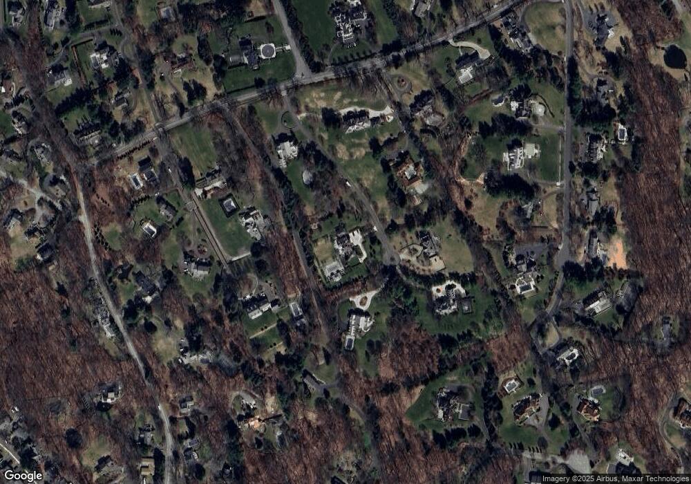
Map
Nearby Homes
- 262 Brushy Ridge Rd
- 145 River St
- 52 Garibaldi Ln
- 61 Smith Ridge Rd
- 289 New Norwalk Rd Unit 22
- 79 Locust Ave Unit 212
- 96 East Ave Unit C
- 42 Forest St Unit A
- 64 East Ave
- 60 East Ave
- 101 Parade Hill Rd
- 240 Rosebrook Rd
- 67 Carter St
- 49 Ludlowe Rd
- 180 Summer St
- 15 Burtis Ave Unit Townhome D
- 15 Burtis Ave Unit West Penthouse B
- 15 Burtis Ave Unit Townhome A
- 15 Burtis Ave Unit East Plaza 203
- 38 Fitch Ln
- 235 Brushy Ridge Rd
- 265 Brushy Ridge Rd
- 237 Brushy Ridge Rd
- 231 Brushy Ridge Rd
- 239 Brushy Ridge Rd
- 189 Brushy Ridge Rd
- 193 Brushy Ridge Rd
- 255 Brushy Ridge Rd
- 207 Brushy Ridge Rd
- 185 Brushy Ridge Rd
- 275 Brushy Ridge Rd
- 203 Brushy Ridge Rd
- 77 Sturbridge Hill Rd
- 97 Sturbridge Hill Rd
- 183 Brushy Ridge Rd
- 61 Sturbridge Hill Rd
- 73 Sturbridge Hill Rd
- 103 Brushy Ridge Rd
- 84 Beacon Hill Rd
- 113 Brushy Ridge Rd