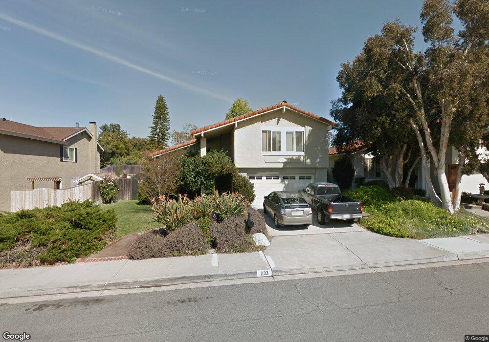
233 Chapalita Dr Encinitas, CA 92024
Central Encinitas NeighborhoodEstimated Value: $1,597,786 - $1,818,000
4
Beds
3
Baths
1,836
Sq Ft
$930/Sq Ft
Est. Value
About This Home
This home is located at 233 Chapalita Dr, Encinitas, CA 92024 and is currently estimated at $1,707,697, approximately $930 per square foot. 233 Chapalita Dr is a home located in San Diego County with nearby schools including Ocean Knoll Elementary School, Oak Crest Middle School, and La Costa Canyon High School.
Ownership History
Date
Name
Owned For
Owner Type
Purchase Details
Closed on
Apr 17, 2003
Sold by
Taylor Andrew and Taylor Lynda
Bought by
Taylor Andrew Alan and Taylor Lynda Scanlon
Current Estimated Value
Purchase Details
Closed on
Jun 25, 1991
Purchase Details
Closed on
Jan 29, 1991
Purchase Details
Closed on
Dec 30, 1986
Create a Home Valuation Report for This Property
The Home Valuation Report is an in-depth analysis detailing your home's value as well as a comparison with similar homes in the area
Home Values in the Area
Average Home Value in this Area
Purchase History
| Date | Buyer | Sale Price | Title Company |
|---|---|---|---|
| Taylor Andrew Alan | -- | -- | |
| -- | $227,000 | -- | |
| -- | $203,000 | -- | |
| -- | $145,000 | -- |
Source: Public Records
Tax History
| Year | Tax Paid | Tax Assessment Tax Assessment Total Assessment is a certain percentage of the fair market value that is determined by local assessors to be the total taxable value of land and additions on the property. | Land | Improvement |
|---|---|---|---|---|
| 2025 | $4,813 | $409,406 | $201,778 | $207,628 |
| 2024 | $4,813 | $401,379 | $197,822 | $203,557 |
| 2023 | $4,654 | $393,510 | $193,944 | $199,566 |
| 2022 | $4,527 | $385,795 | $190,142 | $195,653 |
| 2021 | $4,436 | $378,231 | $186,414 | $191,817 |
| 2020 | $4,352 | $374,354 | $184,503 | $189,851 |
| 2019 | $4,268 | $367,015 | $180,886 | $186,129 |
| 2018 | $4,202 | $359,820 | $177,340 | $182,480 |
| 2017 | $4,132 | $352,765 | $173,863 | $178,902 |
| 2016 | $4,009 | $345,849 | $170,454 | $175,395 |
| 2015 | $3,927 | $340,655 | $167,894 | $172,761 |
| 2014 | $3,825 | $333,983 | $164,606 | $169,377 |
Source: Public Records
Map
Nearby Homes
- 363 Orwell Ln
- 1862 Pleasantdale Ln
- 1866 Forestdale Dr
- 110 Turner Ave
- 1528 Calle Narcisos
- 1926 Springdale Ln
- 1982 Fairlee Dr
- 245 Fairlee Ln
- 2118 Valleydale Ln
- 1824 Eastwood Ln
- 1517 Shields Ave
- 134 S Jayton Ln
- 201 Meadow Vista Way
- 267 Countryhaven Rd Unit 131
- 277 Via Del Cerrito
- 0 Crest Dr Unit 250045003
- 121 Avenida Esperanza
- 1759 Edgefield Ln
- 1652 Clearwater Place
- 1971 Azure Way
- 239 Chapalita Dr
- 227 Chapalita Dr
- 1707 Kellington Place
- 219 Chapalita Dr
- 245 Chapalita Dr
- 1709 Kellington Place
- 1711 Kellington Place
- 234 Chapalita Dr
- 238 Chapalita Dr
- 1631 Gitano St
- 226 Chapalita Dr
- 1713 Kellington Place
- 251 Chapalita Dr
- 211 Chapalita Dr Unit SI ID1048659P
- 211 Chapalita Dr Unit ID1048659P
- 211 Chapalita Dr
- 244 Chapalita Dr
- 1635 Gitano St
- 218 Chapalita Dr
- 1718 Kellington Place
Your Personal Tour Guide
Ask me questions while you tour the home.